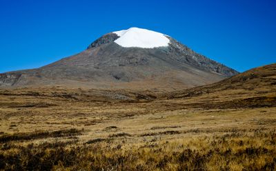
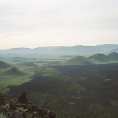
Otgontenger, Sacred summit in Zavkhan Province, Mongolia.
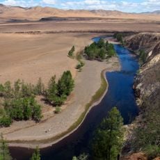
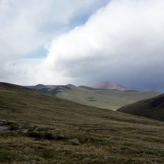
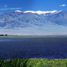
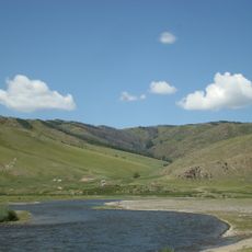
Otgontenger is a mountain summit in Zavkhan Province, in western Mongolia, and one of the highest peaks in the country. Its southern face is a steep granite wall, and a glacier covers the top throughout the year.
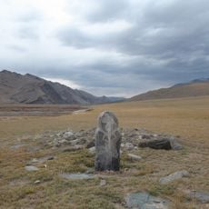
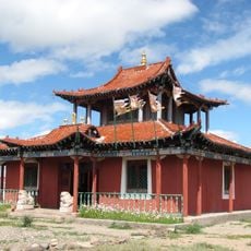
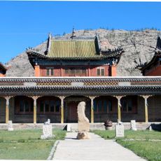
The mountain was officially recognized as a sacred site in the early 19th century, though it had been venerated in the region long before that. Over time, Buddhist rituals were incorporated into the ceremonies and are still held at regular intervals.
Otgontenger is considered the most sacred mountain in Mongolia and is dedicated to Ochirvaani, a deity in Tibetan Buddhism. Women are traditionally not allowed to climb to the summit, and this practice is still respected by local communities today.
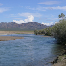
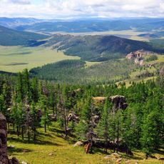
A four-wheel-drive vehicle is needed to reach the area, as tracks in this part of the country can be rough and unpredictable. Weather changes quickly at this altitude, so bringing warm clothing regardless of the season is a good idea.
The summit is legally closed to the public and can only be visited during state-approved ceremonies that take place every few years. Outside of these events, access to the top is not permitted, making it one of the few mountains in the world where climbing is formally forbidden.
The community of curious travelers
AroundUs brings together thousands of curated places, local tips, and hidden gems, enriched daily by 60,000 contributors worldwide.