Sūr, summit in Pakistan
Location: Federally Administered Tribal Areas
Elevation above the sea: 639 m
GPS coordinates: 31.66556,70.15083
Latest update: June 30, 2025 02:05
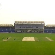
Multan Cricket Stadium
211.9 km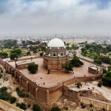
Tomb of Shah Rukn-e-Alam
206.3 km
Forward Operating Base Chapman
187.2 km
Takht-e-Sulaiman
20.4 km
Gomal Zam Dam
54.5 km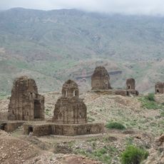
Kafir Kot
145.1 km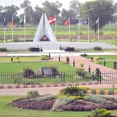
Multan Cantonment
205.7 km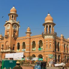
Ghanta Ghar
206.1 km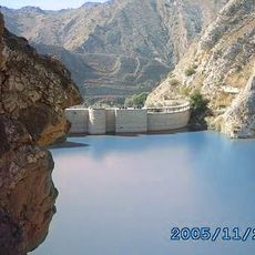
Namal Lake
192.8 km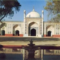
Shahi Eid Gah Mosque
205.7 km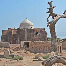
Shrine of Khalid Walid
200 km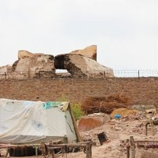
Prahladpuri Temple, Multan
206.3 km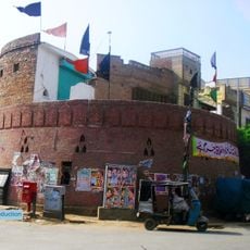
Bloody Bastion
207.5 km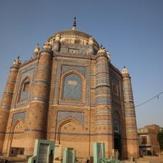
Tomb of Shah Ali Akbar
202.7 km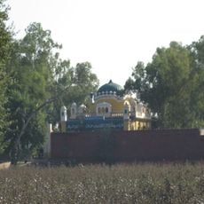
Gurdwara Makhdoom Pur Pahoran
225.8 km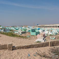
Salehabad
182.5 km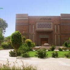
Multan Arts Council
204.8 km
Cathedral of the Holy Redeemer
205.5 km
Chund Bridge
205.7 km
Bannu Cantonment
153.1 km
House of Abdus Salam, Jhang
210.4 km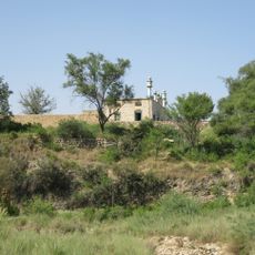
Khanqah Daep Sharif
205.7 km
Khalid Abad
192.2 km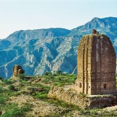
Amb Temples
192.8 km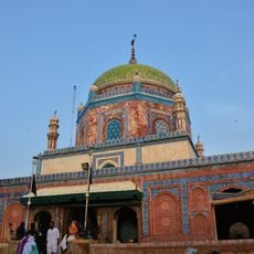
Shrine of Shamsuddin Sabzwari
206.8 km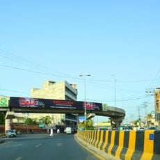
Nishtar Chowk Flyover
205 km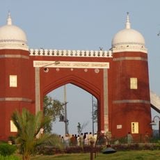
Bab-e-Qasim
206.3 km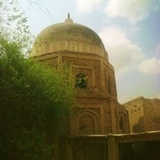
Tomb of Mai Maharban, Multan
206 kmReviews
Visited this place? Tap the stars to rate it and share your experience / photos with the community! Try now! You can cancel it anytime.
Discover hidden gems everywhere you go!
From secret cafés to breathtaking viewpoints, skip the crowded tourist spots and find places that match your style. Our app makes it easy with voice search, smart filtering, route optimization, and insider tips from travelers worldwide. Download now for the complete mobile experience.

A unique approach to discovering new places❞
— Le Figaro
All the places worth exploring❞
— France Info
A tailor-made excursion in just a few clicks❞
— 20 Minutes