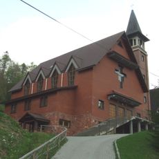
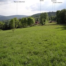
Magurka, Summit in Beskid Żywiecko-Orawski region, Poland.
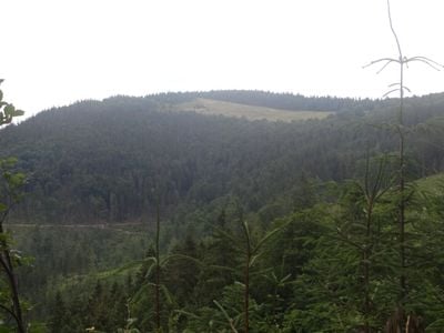
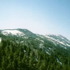
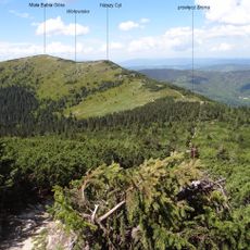
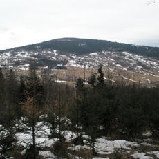
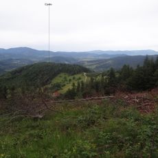
Kolisty Groń is a summit at 1,114 meters (3,655 feet) in the Beskid mountain range, with forested slopes that combine beech, oak, spruce, pine, and fir trees across its elevation. The peak rises gradually from the valleys below, creating a rounded form that sits at the heart of the ridge system.
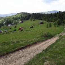
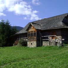
The area served for centuries as grazing land for sheep, particularly its northwestern section which became known as a traditional pastoral clearing. This long history of use shaped the landscape and left physical traces that remain visible today.
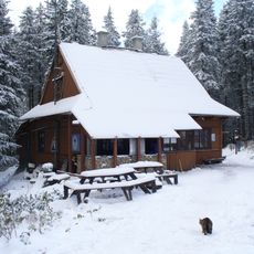
The slopes around this summit reflect generations of mountain living traditions in the region, with evidence of local ways visible in how the land has been shaped and used over time. Visitors see these traces in the structure of the landscape and the small buildings scattered across the hillsides.
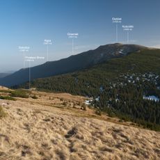
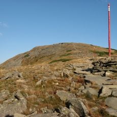
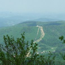
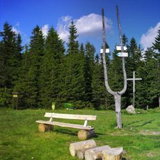
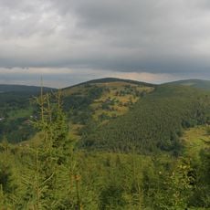
This peak connects to marked trails in red, yellow, and green that link multiple starting points through the ridge network. Different approach routes offer varying steepness, with the northwestern side providing good viewpoints across to neighboring ranges.
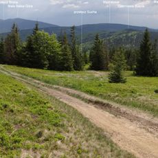
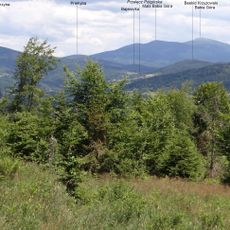
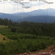
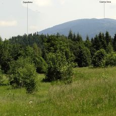
From the northwestern side, visitors can see three separate mountain ranges spread across the horizon all at once, creating a natural viewing stage. This convergence of distant views makes the spot memorable for anyone hoping to take in multiple ridge systems from a single vantage point.
The community of curious travelers
AroundUs brings together thousands of curated places, local tips, and hidden gems, enriched daily by 60,000 contributors worldwide.