
Sărățeni, village in Mureș County, Romania
Location: Sărățeni
Elevation above the sea: 411 m
GPS coordinates: 46.56233,25.00892
Latest update: March 2, 2025 21:50

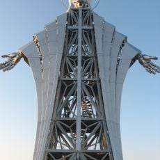
Heart of Jesus
26.7 km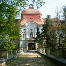
Teleki Castle
29.9 km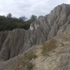
Muntele de sare Praid
8.7 km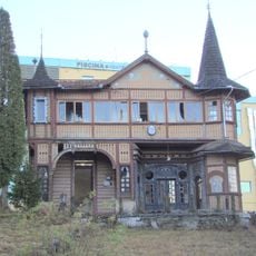
Bernady villa in Sovata
7.7 km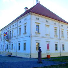
Rhédey Mansion, Sângeorgiu de Pădure
19.6 km
Castle Rapsone
13.6 km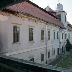
Bornemissza castle in Gurghiu
26.1 km
Poiana narciselor Gurghiu
24 km
Castra Praetoria Augusta
16.8 km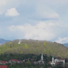
Görgény vára
26 km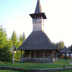
Wooden church in Lăpușna
27.7 km
Castra of Călugăreni
12.4 km
Castra of Sărățeni
453 m
Catholic church of Sângeorgiu de Mureș
30.8 km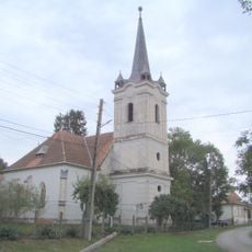
Reformed church in Gornești
30.5 km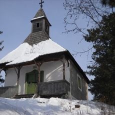
Château Both
30.6 km
Reformed church in Rugănești, Harghita
29.1 km
Calvinist church in Sângeorgiu de Pădure
19.6 km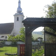
Roman Catholic church in Bisericani, Harghita
28.6 km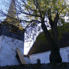
Unitarian church in Sânvăsii, Mureș
21.7 km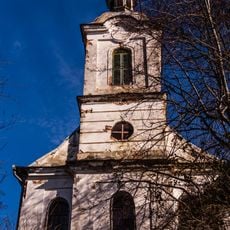
Category:Roman Catholic church in Beu
22.8 km
Horvath Castle
25.1 km
Dealul Firtuș
19.9 km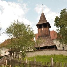
Reformed church in Cușmed
9.6 km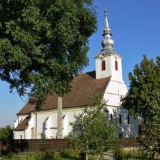
Roman Catholic church in Cristuru Secuiesc
30.3 km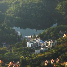
Sovata (kapital sa munisipyo)
5 km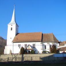
Sângeorgiu de Pădure
19.4 km
Simonești
26.4 kmReviews
Visited this place? Tap the stars to rate it and share your experience / photos with the community! Try now! You can cancel it anytime.
Discover hidden gems everywhere you go!
From secret cafés to breathtaking viewpoints, skip the crowded tourist spots and find places that match your style. Our app makes it easy with voice search, smart filtering, route optimization, and insider tips from travelers worldwide. Download now for the complete mobile experience.

A unique approach to discovering new places❞
— Le Figaro
All the places worth exploring❞
— France Info
A tailor-made excursion in just a few clicks❞
— 20 Minutes