
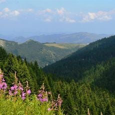
Baurina Čuka, Berggipfel in Serbien
Location: Serbia
Elevation above the sea: 1,446 m
GPS coordinates: 43.37000,20.84306
Latest update: May 12, 2025 08:00
Kopaonik National Park
6 km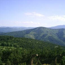
Ljukten
18.5 km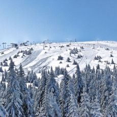
Panchichev vrh
11.3 km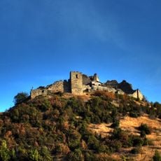
Koznik
12.3 km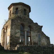
Stara Pavlica
15.9 km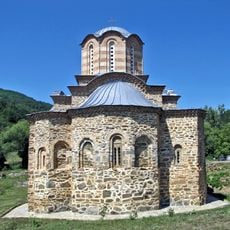
Drenča Monastery
20.8 km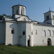
Nova Pavlica
15.9 km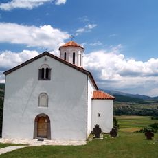
Končul Monastery
19.9 km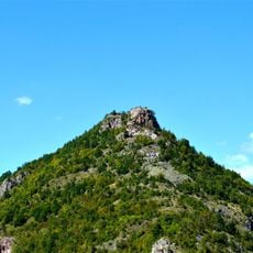
Forteresse de Brvenik
17.3 km
Jelovarnik
11.5 km
Lepenac Monastery
18.2 km
Специјален природен резерват Гоч
18.2 km
Milentija Monastery
13.3 km
Pleš Monastery
14.1 km
Église Saint-Nicolas de Baljevac
16.9 km
Église Saint-Nicolas de Šumnik
16.1 km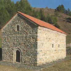
Église Saint-Pierre-et-Saint-Paul de Jelakci
6.7 km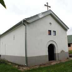
Église de la Mère-de-Dieu de Boranci
20.1 km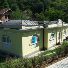
Nouveau bain à Jošanička Banja
7.8 km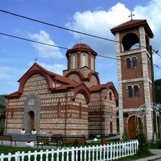
Kirche der Überführung der Reliquien des Hl. Sava
20.3 km
Cellier de Verka Lapčević
19.8 km
Поп Маркова кућа
19.2 km
Église de l'Ascension de Kožetin
18.4 km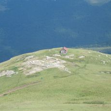
Небесна столица
12 km
Mijatovac
21.9 km
Veliki Stupnik
22.2 km
Srpak
20.8 km
Velika Čukara
21.2 kmReviews
Visited this place? Tap the stars to rate it and share your experience / photos with the community! Try now! You can cancel it anytime.
Discover hidden gems everywhere you go!
From secret cafés to breathtaking viewpoints, skip the crowded tourist spots and find places that match your style. Our app makes it easy with voice search, smart filtering, route optimization, and insider tips from travelers worldwide. Download now for the complete mobile experience.

A unique approach to discovering new places❞
— Le Figaro
All the places worth exploring❞
— France Info
A tailor-made excursion in just a few clicks❞
— 20 Minutes