·

Enable Location

We need your location to show you interesting places around you

Discover nearby places

Find interesting locations and hidden gems around you

Precise directions

Get accurate directions and distances to places

Your location is never shared with other users. It's only used when you tap the location button.

Ljukten

Log in to your account

Start exploring — it's free

Trusted by 62,735 travelers worldwide

Continue with Google
Continue with Apple
or

We will send you a code to connect

By continuing, you accept our Terms and Conditions and our Privacy Policy

Check your inbox

We've sent a pincode in your inbox. Please enter the code below.

Ljukten

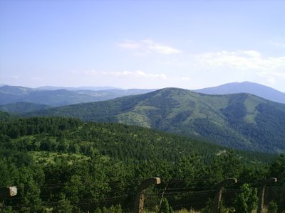
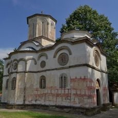
Ljukten, Summit in Vrnjacka Banja region, Serbia.

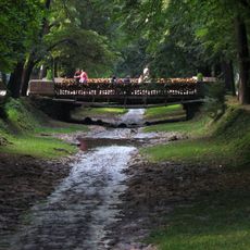
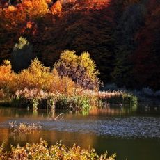
Ljukten is a summit in the Vrnjacka Banja region that rises to 1216 meters and is covered with dense coniferous forests on its slopes. The wooded terrain drops toward Lake Seliste, where the tree cover remains thick throughout.

The mountain paths developed over many generations as local inhabitants created routes connecting nearby settlements through the wooded terrain. These natural connections became clearly marked trails through repeated use over decades.

Local people use the mountain paths for regular outings, maintaining a long-standing connection to the forest and peaks. The worn trails show how generations have walked these routes as part of their everyday mountain life.

The walk from Lake Seliste to the summit takes about one hour and follows an unmaintained trail that covers 2 kilometers. Sturdy footwear and water are important since the path goes through forest and shade is limited in places.

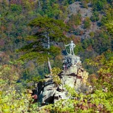
From the summit, you can see four different mountain ranges at once: Zeljin, Stolovi, Kopaonik, and the medieval fortress of Koznik. On clear days this view is especially striking and reveals how the peaks connect across the landscape.

The community of curious travelers

AroundUs brings together thousands of curated places, local tips, and hidden gems, enriched daily by 60,000 contributors worldwide.

Start exploring
GPS coordinates
43.53657,20.84576
Latest update
December 10, 2025 15:54
« Ljukten - Summit in Vrnjacka Banja region, Serbia » is provided by Around Us (aroundus.com). Images and texts are derived from Wikimedia project under a Creative Commons license. You are allowed to copy, distribute, and modify copies of this page, under the conditions set by the license, as long as this note is clearly visible.

Discover hidden gems everywhere you go!

From secret cafés to breathtaking viewpoints, skip the crowded tourist spots and find places that match your style. Our app makes it easy with voice search, smart filtering, route optimization, and insider tips from travelers worldwide. Download now for the complete mobile experience.

Around Us App Screenshot

A unique approach to discovering new places

Le Figaro

All the places worth exploring

France Info

A tailor-made excursion in just a few clicks

20 Minutes

Around Us
Travel Guide & Maps
Download

Send to your phone

QR Code
1

Open the camera app on your mobile.

2

Point at the QR code with your camera. A notification will appear.

3

Tap the notification to open the link.