Enable Location

We need your location to show you interesting places around you

Discover nearby places

Find interesting locations and hidden gems around you

Precise directions

Get accurate directions and distances to places

Your location is never shared with other users. It's only used when you tap the location button.

Kamensk-Shakhtinsky

Log in to your account

Start exploring — it's free

Trusted by 62,281 travelers worldwide

Continue with Google
Continue with Apple
or

We will send you a code to connect

By continuing, you accept our Terms and Conditions and our Privacy Policy

Check your inbox

We've sent a pincode in your inbox. Please enter the code below.

Kamensk-Shakhtinsky

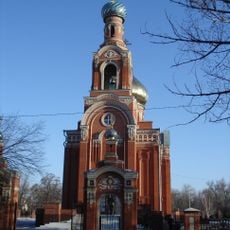
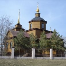
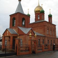
Kamensk-Shakhtinsky, Industrial city in Rostov Oblast, Russia

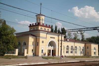
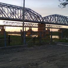
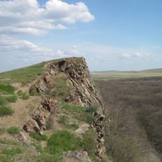
Kamensk-Shakhtinsky is a city in Rostov Oblast along the Seversky Donets River in southern Russia near the border with Ukraine. It sits about 62 miles (100 kilometers) northeast of Rostov-on-Don at a point where river channels and roads cross through rolling lowlands.

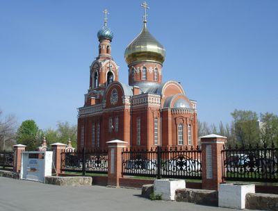
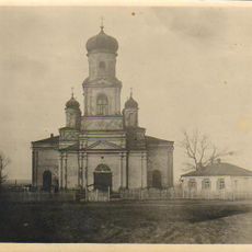
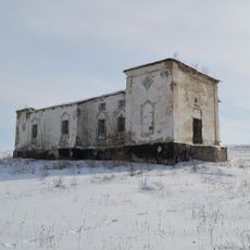
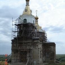
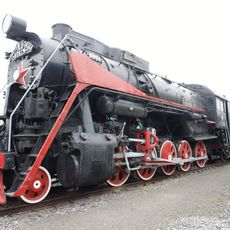
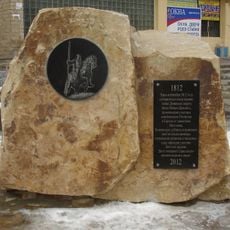
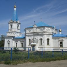
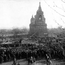
Cossacks founded a settlement called Kamenskaya in 1671, which moved several times during the 18th century after repeated fires. The current location was chosen in 1817, and the city received its present name in 1929 as coal mining in the Donets Basin expanded.

The city name change to Kamensk-Shakhtinsky in 1929 reflects its deep connection to the coal mining heritage of the Donets Basin region.

The city sits at the intersection of European routes E40 and E115, which connect Moscow to the Krasnodar region. Visitors will find this crossroads useful for continuing onward in several directions across southern Russia.

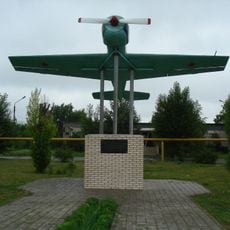
The South Russian State Polytechnic University maintains advanced research facilities while the city produces artificial fibers, mining machinery, and specialized glass products.

The community of curious travelers

AroundUs brings together thousands of curated places, local tips, and hidden gems, enriched daily by 60,000 contributors worldwide.

Start exploring
Location
Inception
1671
Elevation above the sea
60 m
GPS coordinates
48.31667,40.26667
Latest update
December 13, 2025 16:10
Around this place
Loga Park
Russian Federation

Loga Park

4.5 km
Izvaryne
Ukraine

Izvaryne

28.1 km
Volodarsky street 66, Kamensk-Shakhtinsky
Russian Federation

Volodarsky street 66, Kamensk-Shakhtinsky

897 m
"Legends of the USSR" Museum
Russian Federation

"Legends of the USSR" Museum

3 km
Каменский мостовой переход
Russian Federation

Каменский мостовой переход

3.5 km
Церковь Сергия Радонежского (Старая Станица)
Russian Federation

Церковь Сергия Радонежского (Старая Станица)

26.1 km
Церковь Успения Пресвятой Богородицы (Калитвенская)
Russian Federation

Церковь Успения Пресвятой Богородицы (Калитвенская)

19.7 km
Karl Marx street 56, Kamensk-Shakhtinsky
Russian Federation

Karl Marx street 56, Kamensk-Shakhtinsky

576 m
Church of the Derzhavnaya Icon of the Theotokos
Russian Federation

Church of the Derzhavnaya Icon of the Theotokos

23.1 km
Каменский автогужевой мост
Russian Federation

Каменский автогужевой мост

2.7 km
Church of the Intercession
Russian Federation

Church of the Intercession

858 m
Exaltation of the Cross church, Astahov
Russian Federation

Exaltation of the Cross church, Astahov

15.8 km
Church of the Life-Giving Trinity
Russian Federation

Church of the Life-Giving Trinity

2.6 km
Church of the Dormition of the Theotokos
Russian Federation

Church of the Dormition of the Theotokos

18.6 km
Ukraine

Krasnodarskyi

22.4 km
Trinidad Simbahan
Russian Federation

Trinidad Simbahan

27.6 km
Church of the Life-Giving Trinity
Russian Federation

Church of the Life-Giving Trinity

14.3 km
Monument to railwaymen
Russian Federation

Monument to railwaymen

19.5 km
Donetsk Museum of History and Ethnography
Russian Federation

Donetsk Museum of History and Ethnography

23.9 km
Памятник участникам войны 1812 года
Russian Federation

Памятник участникам войны 1812 года

1.8 km
Monument to Ivan Dokunin
Russian Federation

Monument to Ivan Dokunin

33.6 km
Გლუბოკის პანტელეიმონ მკურნალის ეკლესია
Russian Federation

Გლუბოკის პანტელეიმონ მკურნალის ეკლესია

23.8 km
Saint George Church
Russian Federation

Saint George Church

22.2 km
St. Nicholas' Church
Russian Federation

St. Nicholas' Church

13.6 km
Კამენსკ-შახტინსკის ქრისტეს შობის ეკლესია
Russian Federation

Კამენსკ-შახტინსკის ქრისტეს შობის ეკლესია

885 m
Церковь святой Анны Кашинской
Russian Federation

Церковь святой Анны Кашинской

9.4 km
Royal cliff
Ukraine

Royal cliff

34.1 km
Аквапарк
Russian Federation

Аквапарк

22.6 km
Show the full map
« Kamensk-Shakhtinsky - Industrial city in Rostov Oblast, Russia » is provided by Around Us (aroundus.com). Images and texts are derived from Wikimedia project under a Creative Commons license. You are allowed to copy, distribute, and modify copies of this page, under the conditions set by the license, as long as this note is clearly visible.

Discover hidden gems everywhere you go!

From secret cafés to breathtaking viewpoints, skip the crowded tourist spots and find places that match your style. Our app makes it easy with voice search, smart filtering, route optimization, and insider tips from travelers worldwide. Download now for the complete mobile experience.

Around Us App Screenshot

A unique approach to discovering new places

Le Figaro

All the places worth exploring

France Info

A tailor-made excursion in just a few clicks

20 Minutes

Around Us
Travel Guide & Maps
Download

Send to your phone

QR Code
1

Open the camera app on your mobile.

2

Point at the QR code with your camera. A notification will appear.

3

Tap the notification to open the link.