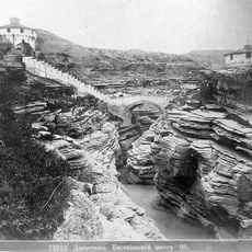
Babayurtovsky District, Municipal district in northern Dagestan, Russia
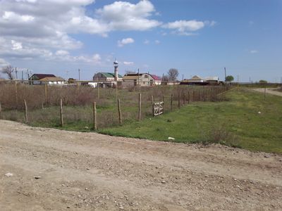
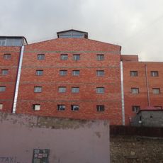
Babayurtovsky District is a municipal district in northern Dagestan that spans across a large area and encompasses twenty-two rural settlements. The administrative center Babayurt serves as the main hub, coordinating local governance and services for the communities.
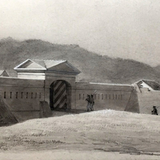
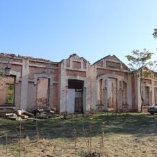
The district was established in 1928 as an administrative entity during the period when Dagestan was reorganizing its territorial divisions under Soviet rule. This founding was part of broader administrative reforms that reshaped governance across the Caucasus region.
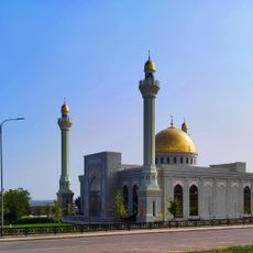
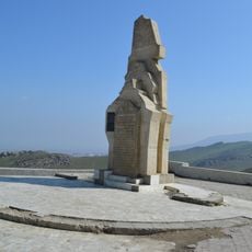
The population here includes people from several ethnic groups of Dagestan, practicing Sunni Islam and maintaining traditional North Caucasian customs. These cultural practices shape daily life and social connections in the district's rural communities.
The district operates in the UTC+3 time zone and its main center Babayurt coordinates local administration for multiple rural communities. Visitors should know that this rural region has limited tourism infrastructure, so advance planning is helpful.
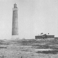
The entire district sits at a level below sea level, making it one of the lowest-lying administrative regions in Russia. This unusual elevation shapes the landscape and the natural conditions throughout the area.
The community of curious travelers
AroundUs brings together thousands of curated places, local tips, and hidden gems, enriched daily by 60,000 contributors worldwide.