Enable Location

We need your location to show you interesting places around you

Discover nearby places

Find interesting locations and hidden gems around you

Precise directions

Get accurate directions and distances to places

Your location is never shared with other users. It's only used when you tap the location button.

Argun River ravine

Log in to your account

Start exploring — it's free

Trusted by 61,944 travelers worldwide

Continue with Google
Continue with Apple
or

We will send you a code to connect

By continuing, you accept our Terms and Conditions and our Privacy Policy

Check your inbox

We've sent a pincode in your inbox. Please enter the code below.

Argun River ravine

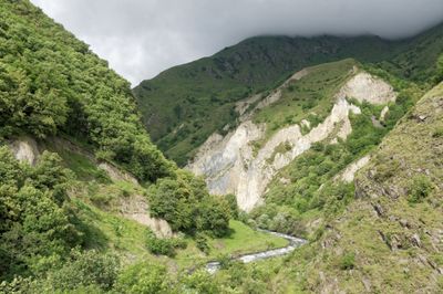
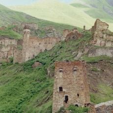
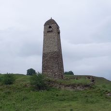
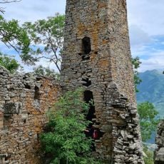
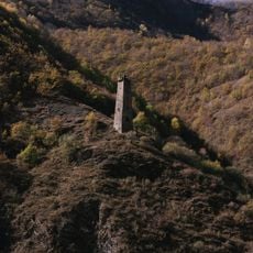
Argun River ravine, Canyon formation in Black Mountains, Chechnya.

The Argun River ravine is a canyon in the Black Mountains carved through limestone, featuring sheer vertical cliffs along its length. The formation extends for several kilometers with walls that rise steeply on both sides where water has eroded the stone over countless millennia.

The ravine was formed over millions of years as the river carved through the limestone bedrock of the region. It historically served as a natural passage for people moving through the mountain regions of the Caucasus.

Local communities near the Argun River ravine maintain traditional fishing practices and organize seasonal celebrations connected to the water cycles.

Access is through hiking paths that run along both sides of the ravine with regular viewpoints for observation. The trails are best navigated during warmer months when water levels are lower and paths are more passable.

The cliff walls display various color bands that reveal different geological layers formed at different times. These striped patterns become especially visible depending on the season and how sunlight hits the stone.

The community of curious travelers

AroundUs brings together thousands of curated places, local tips, and hidden gems, enriched daily by 60,000 contributors worldwide.

Start exploring
Location
Part of
Black Mountains
GPS coordinates
42.67083,45.17639
Latest update
December 7, 2025 10:06
« Argun River ravine - Canyon formation in Black Mountains, Chechnya » is provided by Around Us (aroundus.com). Images and texts are derived from Wikimedia project under a Creative Commons license. You are allowed to copy, distribute, and modify copies of this page, under the conditions set by the license, as long as this note is clearly visible.

Discover hidden gems everywhere you go!

From secret cafés to breathtaking viewpoints, skip the crowded tourist spots and find places that match your style. Our app makes it easy with voice search, smart filtering, route optimization, and insider tips from travelers worldwide. Download now for the complete mobile experience.

Around Us App Screenshot

A unique approach to discovering new places

Le Figaro

All the places worth exploring

France Info

A tailor-made excursion in just a few clicks

20 Minutes

Around Us
Travel Guide & Maps
Download

Send to your phone

QR Code
1

Open the camera app on your mobile.

2

Point at the QR code with your camera. A notification will appear.

3

Tap the notification to open the link.