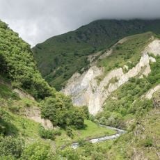
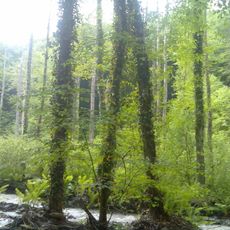
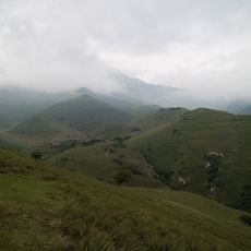
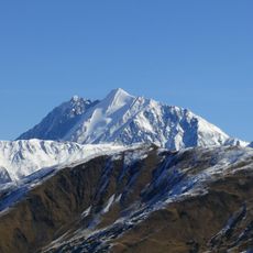
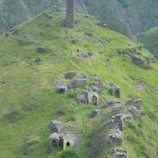
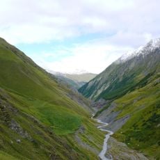
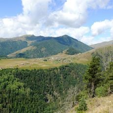
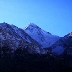
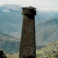
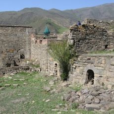
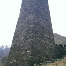
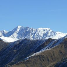
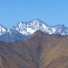
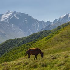
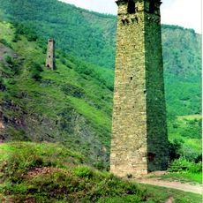
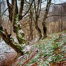
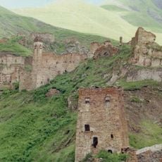
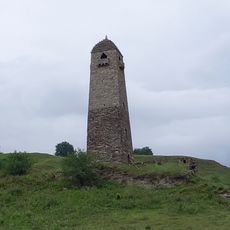
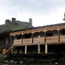
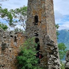
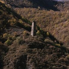
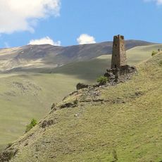
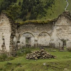
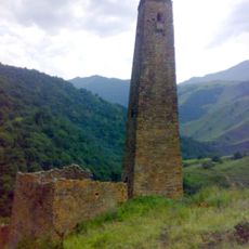
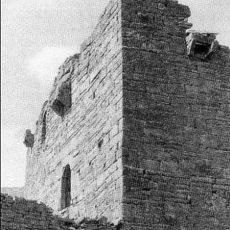
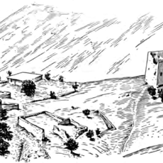
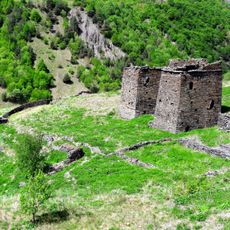
Atsunta pass, Mountain pass between Shatili and Omalo, Georgia.
Atsunta Pass is a mountain crossing that connects Shatili and Omalo through steep rocky terrain and alpine meadows, rising above 3500 meters in elevation. The route moves through diverse landscapes of exposed ridges and open grasslands.
The pass lies on the old walking route between the valleys of Pirikiti Alazani in Tusheti and Andaki in Khevsureti, the two historic mountain regions it links. The sources record no medieval trade role or fortifications; the crossing is a footpath over the Atsunta ridge, whose lowest point is 3431 m but whose steep western wall forces the trail to cross at about 3510 m.
The pass links two named valleys: the Andaki in Khevsureti and the Pirikiti Alazani, called Kvachidisckali in its upper course, in Tusheti. The trail is marked in red on the Khevsureti side as far as the saddle, and hikers use it to cross between Omalo and Shatili.
The trek takes several days and is only manageable during warmer months, as snow and weather make the pass inaccessible in winter. Water sources exist along the route, but you need to bring camping gear and supplies.
The lowest point of the connecting ridge lies at 3431 m, but the western wall is impassable, so the marked trail crosses higher, at about 3510 m. On the Khevsureti side a red trail marker runs all the way to the saddle. The eastern slope is gentle and grassy up to 3200 m, while the western side is steep and covered with slate debris.
The community of curious travelers
AroundUs brings together thousands of curated places, local tips, and hidden gems, enriched daily by 93,318 contributors worldwide.