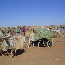
Darfur, Administrative region in western Sudan
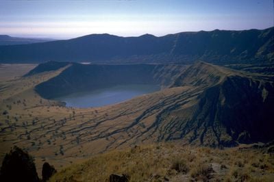
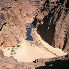
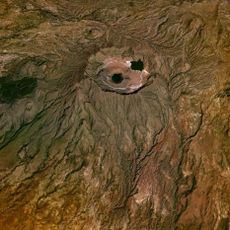
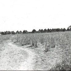
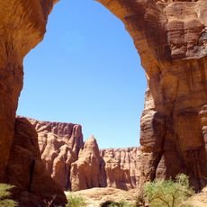
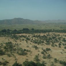
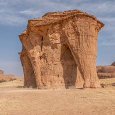
Darfur is an administrative region in western Sudan that spreads across wide plains broken by the Marrah Mountains, which rise above 10,000 feet (over 3,000 meters) in the center. The landscape shifts from dry flatlands dotted with thorn scrub to greener highlands where valleys and plateaus open up.
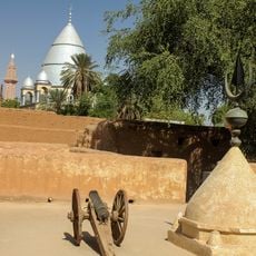
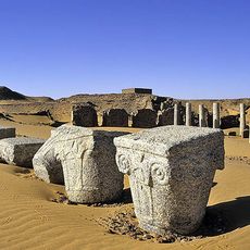
The area was ruled as an independent sultanate from the 17th century until 1874, when it passed under Egyptian control. British administration followed later and lasted until Sudan gained independence.
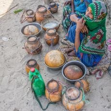
People here work the land differently depending on elevation, with the Marrah highlands supporting crops like millet. In the drier plains you mostly see herders moving with their goats or camels.
Travel to this area requires careful preparation and local guidance because infrastructure remains limited. The best months for visiting fall during the dry season, when routes are more passable.
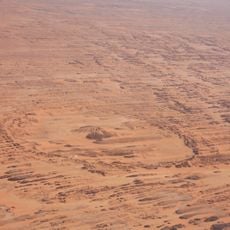
Below the surface there are signs of underground water reserves that could be tapped for farming in the future. These hidden resources might reshape water supply in the drier sections.
The community of curious travelers
AroundUs brings together thousands of curated places, local tips, and hidden gems, enriched daily by 60,000 contributors worldwide.