Al Qadarif, Administrative state in southeastern Sudan
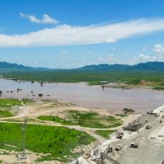
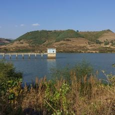
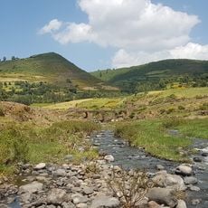
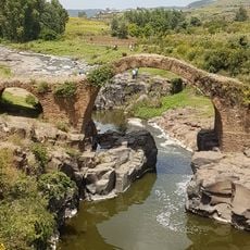
Al Qadarif is an administrative state in southeastern Sudan with varied landscapes ranging from highlands near the border to seasonal river valleys and plains. The region's terrain shapes both how settlements are distributed and what kinds of crops grow across the land.
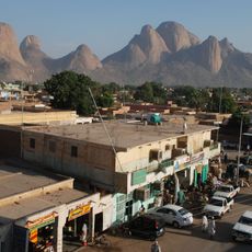
The area began as a trading marketplace but transformed into an agricultural center in the mid-1900s when mechanized farming methods were introduced. This shift from commerce to farming reshaped the entire region and drew people seeking work in the fields.
Arab and Nubian communities form the core population here, along with smaller groups from neighboring regions who came for farming opportunities. You'll notice this mix in local traditions and how people from different backgrounds live together in towns and villages.
Visit during the drier months when roads and paths are easier to navigate, as seasonal rain can make travel difficult. The region is spread out, so allow extra time for journeys between towns and settlements.
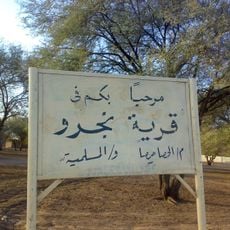
The name comes from an Arabic phrase meaning 'He who has finished selling or buying should leave,' which reveals its roots as a trading hub where merchants once gathered. This saying offers a window into how commerce shaped the place before farming became central to life here.
The community of curious travelers
AroundUs brings together thousands of curated places, local tips, and hidden gems, enriched daily by 60,000 contributors worldwide.