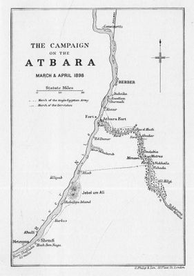
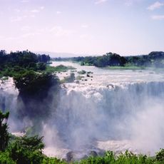
Atbarah River, Major tributary river system in northeast Africa.
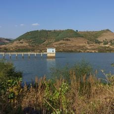
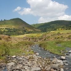
The Atbarah is a major river that flows approximately 800 kilometers through Ethiopia and Sudan before merging with the Nile near the city of Atbarah. Its course connects highland and lowland regions, creating a water system that shapes the landscape across multiple countries.
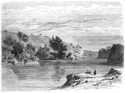
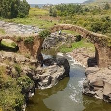
The waterway was documented by ancient writers including Strabo and Ptolemy, making it known to early geographers of the Mediterranean world. Its mention in historical records shows it held significance as a geographical feature since antiquity.
Local communities have shaped the riverbanks through their dependence on its waters, relying on fishing and irrigation to sustain themselves. These daily practices continue to define life along the watercourse and shape how people interact with the landscape.
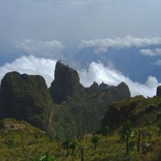
The area is most accessible during the rainy season when water levels rise and the landscape becomes greener. A visit in the dry season requires patience, as the river shrinks to small pools in many places.
The river contributes a surprisingly large portion of the Nile's total water during the rainy season, making a significant difference to the water balance of that larger river. These seasonal swings are so dramatic that the character of the waterway transforms completely between seasons.
The community of curious travelers
AroundUs brings together thousands of curated places, local tips, and hidden gems, enriched daily by 60,000 contributors worldwide.