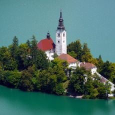
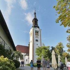
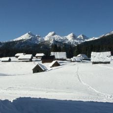
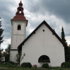
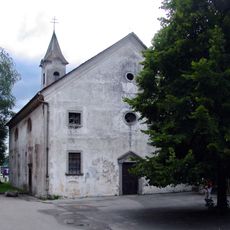
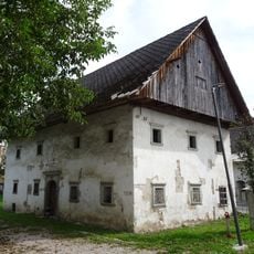
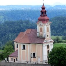
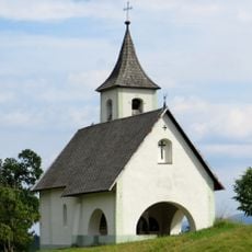
Pokljuka, Karst plateau in Triglav National Park, Slovenia.
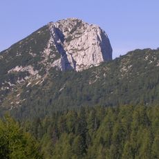
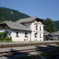
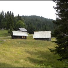
Pokljuka is a high plateau in the Julian Alps covered with spruce forests, open grasslands, and an extensive network of walking trails. The landscape shifts between dense woodland and cleared pasture, creating varied terrain for exploration.
The plateau formed over millions of years as ancient seabeds were lifted and shaped into the karst landscape visible today. Geological forces created the limestone bedrock and natural drainage patterns that define the region.
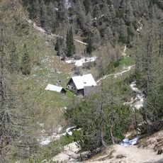
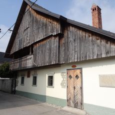
Shepherds use the alpine pastures seasonally, and dairy making continues in simple mountain huts scattered across the plateau. These traditional activities shape how the landscape looks and feels during the warmer months.
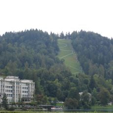
Winter brings groomed cross-country skiing tracks, while summer offers excellent conditions for hiking and cycling. Well-marked trails make it easy to navigate the plateau on foot or by bike.
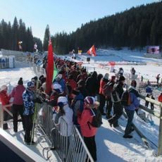
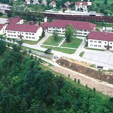
The area serves as an international biathlon training center with modern sports facilities built to take advantage of the high elevation. Athletes from many countries use the plateau for conditioning programs throughout the year.
GPS coordinates: 46.36028,14.03000
Latest update: December 6, 2025 16:01
Slovenia covers some 7,800 square miles (20,000 square kilometers) between the Alps and the Adriatic, offering a concentration of different landscapes from the Julian Alps to the coast. The karst caves of Postojna and Škocjan rank among Europe's most extensive underground systems, while lakes such...
Municipality of Bled
6.7 km
Bled Castle
5.5 km
Vintgar Gorge
5.8 km
Bled Island
4.6 km
Pokljuka Biathlon Stadium
8.5 km
St. Martin's Parish Church
5.8 km
Multinational Centre of Excellence for Mountain Warfare
3.5 km
Grand Hotel Toplice
6 km
Assumption of Mary Church
4.6 km
Debela peč
8.2 km
Ruard Manor
8.4 km
Vojašnica Bohinjska Bela
3.5 km
Planina Javornik
6.2 km
Kasarna
8.3 km
Jesenice Upper Sava Museum
8.4 km
Vintgar railway halt
7.7 km
Bohinjska Bela
3.4 km
Klečica
7.9 km
Vila Beli dvor
5.4 km
Planina Lipanca
8 km
St. Radegund's Church
8.2 km
Assumption of Mary Church
8.3 km
Mrak Homestead
5.1 km
St. John the Baptist's Parish Church in Zasip
7 km
Holy Trinity Church
6.1 km
Vila Zora
6.2 km
Planina Konjska dolina
7.7 km
Zagoriška 18 House
6.3 kmVisited this place? Tap the stars to rate it and share your experience / photos with the community! Try now! You can cancel it anytime.
Discover hidden gems everywhere you go!
From secret cafés to breathtaking viewpoints, skip the crowded tourist spots and find places that match your style. Our app makes it easy with voice search, smart filtering, route optimization, and insider tips from travelers worldwide. Download now for the complete mobile experience.
A unique approach to discovering new places❞
— Le Figaro
All the places worth exploring❞
— France Info
A tailor-made excursion in just a few clicks❞
— 20 Minutes