
Žirovniška planina, mountain pasture in Slovenia
Location: Municipality of Žirovnica
Elevation above the sea: 1,200 m
GPS coordinates: 46.42333,14.15515
Latest update: June 2, 2025 17:24
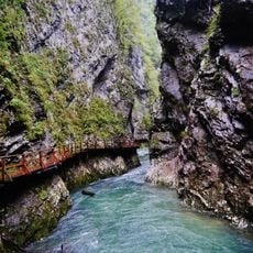
Vintgar Gorge
6.1 km
Stol / Hochstuhl
1.9 km
Prešeren House
4 km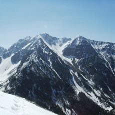
Begunjščica
5.7 km
Ajdna
1.9 km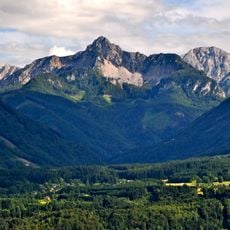
Kosiak
3.9 km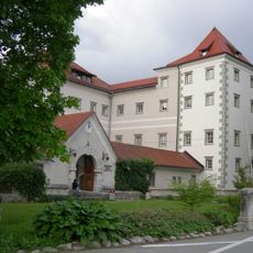
Kacenštajn Castle
6.3 km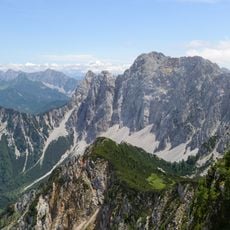
Wertatscha
4.8 km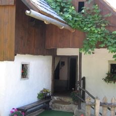
Finžgar House
3.4 km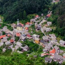
Sts. Ingenuin and Albuin Church
4.2 km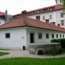
Museum of Hostages
6.2 km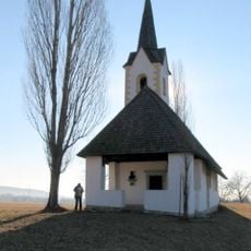
St. Mark's Church, Vrba
4 km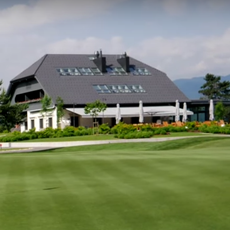
Bled Golf & Country Club
5.6 km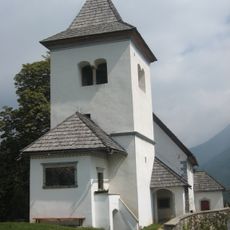
St. Peter's Church
5.4 km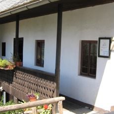
Jalen House
4.8 km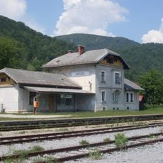
Vintgar railway halt
4.6 km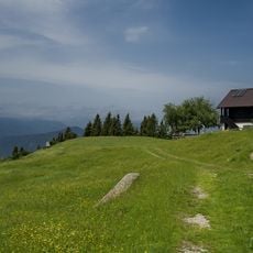
Zabreška planina
776 m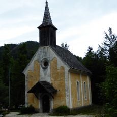
Kath. Pfarrkirche, (Ehem. Pfarr-)Kirche hl. Michael
5.6 km
Bielschitza
3.6 km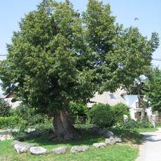
Lime Tree in Vrba
3.9 km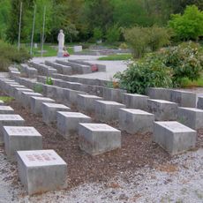
Grobišče talcev v parku
6.1 km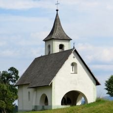
Holy Trinity Church
5.9 km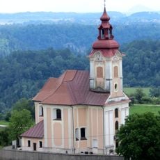
St. John the Baptist's Parish Church in Zasip
5.1 km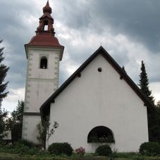
St. Radegund's Church
4 km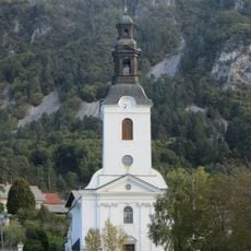
Our Lady of Sorrows Parish Church
3.1 km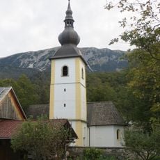
St. Martin's Church
2.5 km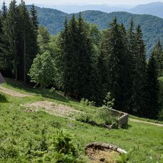
Doslovška planina
2.1 km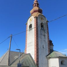
St. Clemens' Church
4.8 kmReviews
Visited this place? Tap the stars to rate it and share your experience / photos with the community! Try now! You can cancel it anytime.
Discover hidden gems everywhere you go!
From secret cafés to breathtaking viewpoints, skip the crowded tourist spots and find places that match your style. Our app makes it easy with voice search, smart filtering, route optimization, and insider tips from travelers worldwide. Download now for the complete mobile experience.

A unique approach to discovering new places❞
— Le Figaro
All the places worth exploring❞
— France Info
A tailor-made excursion in just a few clicks❞
— 20 Minutes