Chest opened
+${chestReward.xp} XP
Explorer
NOUVEAU ×${chestReward.collectible.quantity}
tapez pour fermer

See the monuments around you in AR Open chests in the app

Around Us is built for your phone — point your camera at the streets and discover the monuments and places around you in augmented reality. Around Us is built for your phone — chests unlock when you walk, explore and capture nearby places.

•

Enable Location

We need your location to show you interesting places around you

Discover nearby places

Find interesting locations and hidden gems around you

Precise directions

Get accurate directions and distances to places

Your location is never shared with other users. It's only used when you tap the location button.

Vihorlat

Log in to your account

Start exploring — it's free

Trusted by 94,094 travelers worldwide

Continue with Google
Continue with Apple
or

We will send you a code to connect

By continuing, you accept our Terms and Conditions and our Privacy Policy

Check your inbox

We've sent a pincode in your inbox. Please enter the code below.

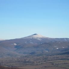
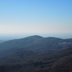
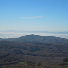
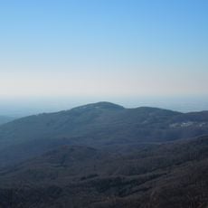
Vihorlat, Mountain summit in Humenné District, Slovakia.

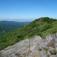
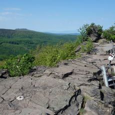
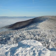
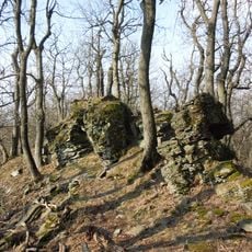
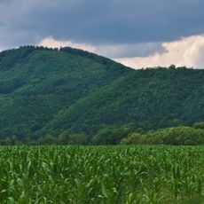
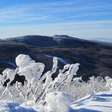
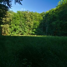
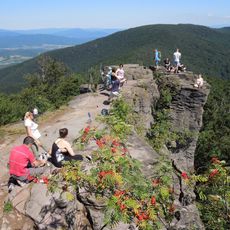
Vihorlat is the highest peak of the Vihorlatské vrchy at 1075.5 m, in the Valaškovce military area of Humenné District. Its broad summit ridge has two tops about 400 m apart; the higher western one carries a reinforced-concrete trigonometric pylón built in 1931–1935, topped by a small cross and an unofficial summit book. The summit is covered with grasses, shrubs and stunted trees, with patches of andesite lava flows and pyroclastics.

Vihorlat is an extinct volcano, the highest peak of the volcanic Vihorlat Mountains at 1075.5 m. Its summit parts were protected as a national nature reserve from 1986; that reserve was dissolved on 15 September 2020 and its territory incorporated into the Vihorlat Primeval Forest nature reserve. In 2007 the beech forests there entered the UNESCO World Heritage list.

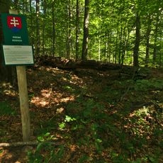
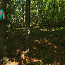
The name Vihorlat is Slavic, explained in local speech as coming from vy-hor-ľ-ať, meaning burnt-out clearings. The summit holds an unofficial plaque with the elevation and a summit book where visitors record their ascent. The concrete pylon carries a small cross.

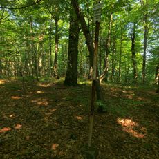
No marked hiking trail leads to the summit, and the peak lies inside the Valaškovce military area, so any movement off marked paths in the national nature reserve is not permitted. Access is therefore restricted; check current military-area rules before planning a visit. The broad summit ridge has two tops about 400 m apart, the higher western one bearing the concrete pylon.

The summit ridge has two tops about 400 metres apart; the higher western one carries a reinforced-concrete pylone built between 1931 and 1935 as one of seventeen first-order triangulation points of the First Czechoslovak Republic. It ends in a small cross and holds an unofficial summit book.

The community of curious travelers

AroundUs brings together thousands of curated places, local tips, and hidden gems, enriched daily by 94,094 contributors worldwide.

Start exploring
Elevation above the sea
1,075.5 m
GPS coordinates
48.89128,22.11353
Latest update
November 1, 2026 00:53
Reviews
Share your experience

No review yet

Discussions
Start a discussion...

No discussion yet

« Vihorlat - Mountain summit in Humenné District, Slovakia » is provided by Around Us (aroundus.com). Images and texts are derived from Wikimedia project under a Creative Commons license. You are allowed to copy, distribute, and modify copies of this page, under the conditions set by the license, as long as this note is clearly visible.

Discover hidden gems everywhere you go!

From secret cafés to breathtaking viewpoints, skip the crowded tourist spots and find places that match your style. Our app makes it easy with voice search, smart filtering, route optimization, and insider tips from travelers worldwide. Download now for the complete mobile experience.
Around Us App Screenshot
❝

A unique approach to discovering new places❞

— Le Figaro

❝

All the places worth exploring❞

— France Info

❝

A tailor-made excursion in just a few clicks❞

— 20 Minutes

Around Us
Travel Guide & Maps
Download

Send to your phone

QR Code
1

Open the camera app on your mobile.

2

Point at the QR code with your camera. A notification will appear.

3

Tap the notification to open the link.