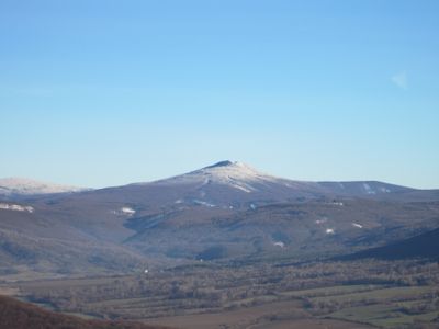
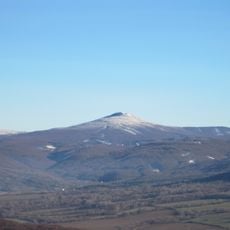
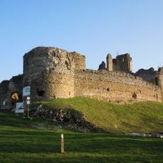
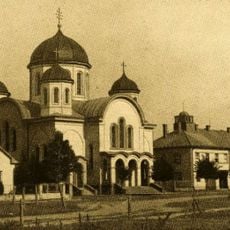
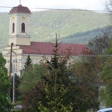
Vihorlat Mountains, Volcanic mountain range in eastern Slovakia.
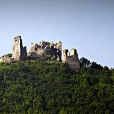
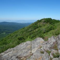
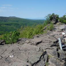
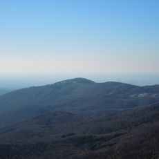
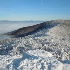
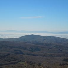
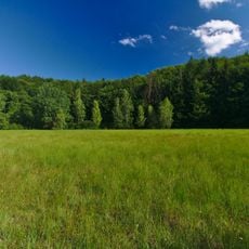
The Vihorlat Mountains form a mountain range in eastern Slovakia that stretches across approximately 55 kilometers with heights ranging from 400 to 1,076 meters (1,300 to 3,500 feet). The landscape is covered with dense beech forests and dark rock formations shaped by ancient volcanic activity.
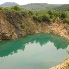
The mountain range formed during the Neogene period, with volcanic activity shaping it approximately 9 million years ago within the Eastern Carpathians. This geological history created the foundation for the landscape you see today.
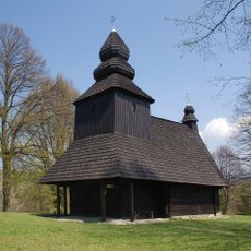
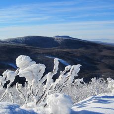
The name comes from Ruthenian language and refers to burned mountain places, reflecting the volcanic past. You notice this heritage today in the dark volcanic rocks and the thick beech forests that cover the slopes.
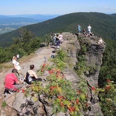
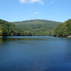
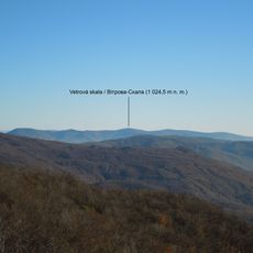
You can follow marked hiking trails in blue, red, and green colors that connect major points like Sninske Ponds and Morske oko lake. The best time to visit is from spring through autumn when trails are accessible and fully walkable.
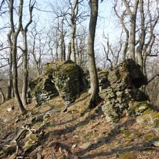
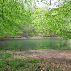
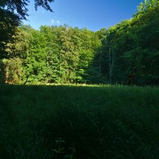
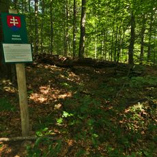
Kyjovský prales, a UNESCO World Heritage forest within the range, preserves natural woodland patterns that have remained undisturbed for a long time. This ancient forest holds remarkable biodiversity of invertebrates and reveals how European forests developed naturally.
The community of curious travelers
AroundUs brings together thousands of curated places, local tips, and hidden gems, enriched daily by 60,000 contributors worldwide.