Spadowa Kopa

Log in to your account

AroundUs is a community-driven map of interesting places, built by curious explorers like you. It grows with every review, story, and photo you share.
Connect to save your favorite spots, contribute locations, and create personalized routes.
Continue with Google
Continue with Apple
Continue with X
Continue with Facebook
Continue with email
By continuing, you accept our Terms and Conditions and our Privacy Policy
Create an account

Spadowa Kopa

Add to collection
Map
Suggest a change
Share

Spadowa Kopa, Mountain summit in High Tatras, Slovakia

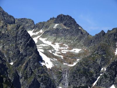
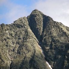
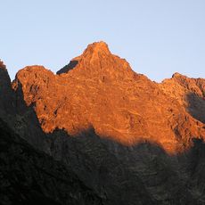
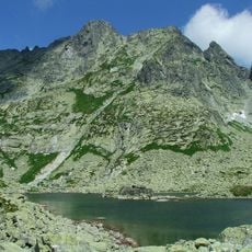
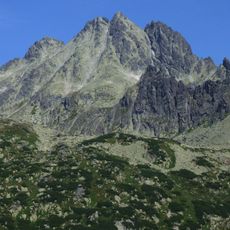
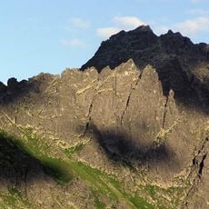
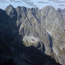
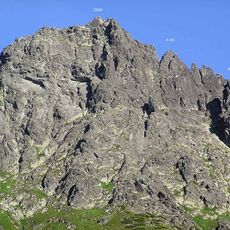
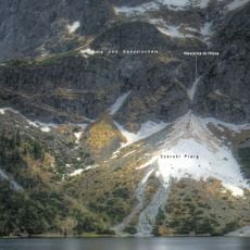
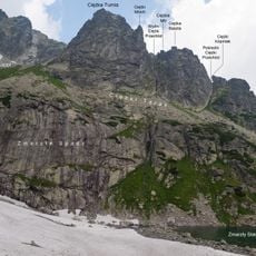
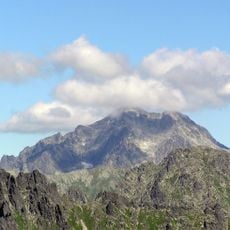
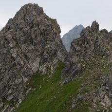
Spadowa Kopa is a mountain summit in the High Tatras reaching 2,251 meters with a distinctive horizontal ridge. The ridge extends roughly 80 meters across with steep cliffs dropping sharply on each side.

The first recorded ascent occurred on August 13, 1909 when mountaineer Stanislaw Porebski reached the summit via the challenging western face. This successful climb marked an important milestone in the exploration of this difficult peak.

The summit carries different names in Slovak and German, reflecting how mountain communities in the High Tatras share their space across language borders. Visitors often hear both names used by hikers from different regions.

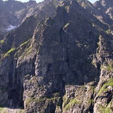
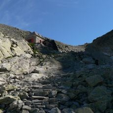
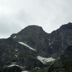
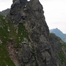
Three established climbing routes are available on Czolowka Spadowej Kopy for experienced mountaineers, with the West Pillar route requiring approximately three hours. Prepare yourself with proper gear and skills suited for steep rocky terrain.

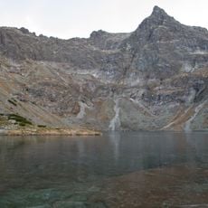
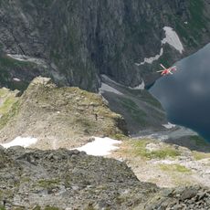
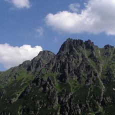
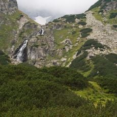
A striking western pillar descends some 500 meters into Czarnostawianski Kociol, creating a notable geographical formation that many visitors overlook. This dramatic feature is what makes the approach from certain angles so memorable for climbers.

Elevation above the sea: 2,251 m

GPS coordinates: 49.18556,20.08724

Latest update: December 14, 2025 20:31

Photos
Reviews

Visited this place? Tap the stars to rate it and share your experience / photos with the community! Try now! You can cancel it anytime.

« Spadowa Kopa - Mountain summit in High Tatras, Slovakia » is provided by Around Us (aroundus.com). Images and texts are derived from Wikimedia project under a Creative Commons license. You are allowed to copy, distribute, and modify copies of this page, under the conditions set by the license, as long as this note is clearly visible.

Discover hidden gems everywhere you go!

From secret cafés to breathtaking viewpoints, skip the crowded tourist spots and find places that match your style. Our app makes it easy with voice search, smart filtering, route optimization, and insider tips from travelers worldwide. Download now for the complete mobile experience.

Around Us App Screenshot

A unique approach to discovering new places

Le Figaro

All the places worth exploring

France Info

A tailor-made excursion in just a few clicks

20 Minutes