
Serelen, Berggipfel in Sierra Leone
Location: Northern Province
Elevation above the sea: 980 m
GPS coordinates: 9.13187,-11.13714
Latest update: June 16, 2025 00:20
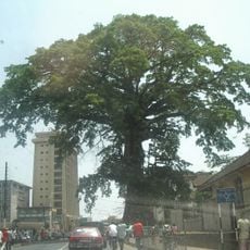
Cotton Tree
241.7 km
Loma Mansa
10.9 km
Mount Wuteve
172.7 km
Western Area Peninsula National Park
238.3 km
National Park of Upper Niger
183.7 km
State House
241.6 km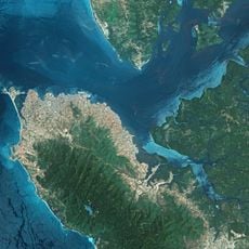
Lungi Bridge
234 km
Outamba-Kilimi National Park
120.9 km
Gola National Park
183.3 km
Tiwai Island
177.2 km
Sierra Leone House of Parliament
241.6 km
Sierra Leone National Museum
241.8 km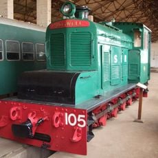
Sierra Leone National Railway Museum
238.5 km
Ziama Strict Nature Reserve
217.3 km
Lofa-Mano National Park
172.4 km
St. George's Cathedral, Freetown
241.7 km
Pinselly Classified Forest
127.4 km
Leicester Peak
241.9 km
Forêt de Dalaba
211 km
Kouratier
212.9 km
Kenema Town Field
139.8 km
Chute de Ditinn
219.9 km
Bastion des Fort Thornton
241.7 km
Cascade de Tabouna
211.7 km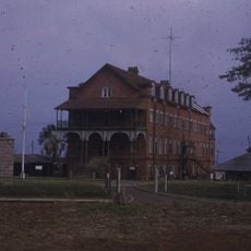
Old Fourah Bay College building
238.8 km
Villa de Dalaba
212.2 km
Case à palabres de Dalaba
212.2 km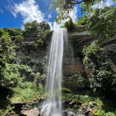
Cascade du Voile de la Mariée
205.3 kmReviews
Visited this place? Tap the stars to rate it and share your experience / photos with the community! Try now! You can cancel it anytime.
Discover hidden gems everywhere you go!
From secret cafés to breathtaking viewpoints, skip the crowded tourist spots and find places that match your style. Our app makes it easy with voice search, smart filtering, route optimization, and insider tips from travelers worldwide. Download now for the complete mobile experience.

A unique approach to discovering new places❞
— Le Figaro
All the places worth exploring❞
— France Info
A tailor-made excursion in just a few clicks❞
— 20 Minutes