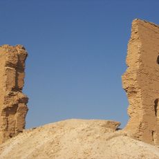
Sweyhat, Bronze Age archaeological site near Euphrates River, Syria.
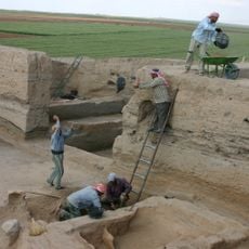
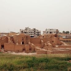
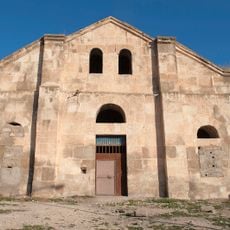
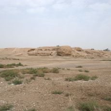
Sweyhat is a Bronze Age archaeological site with a prominent central mound surrounded by rings of lower terrain and ancient fortification walls that once protected the settlement. The complex includes residential areas, storage facilities, a temple on the highest point, and a burial ground, revealing how people organized their community across different zones.
The settlement began around the start of the third millennium BC and reached its peak around the middle of that period when it functioned as a major administrative and trading center. A major fire destroyed the city during the Ur III Empire period, after which the site lay abandoned for centuries until Hellenistic peoples eventually reoccupied it.
The settlement served as a trade hub along the Euphrates corridor, evident from pottery and objects from distant regions found during excavations. These artifacts show how merchants and travelers moved goods and ideas through this location.
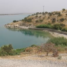
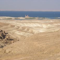
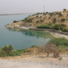
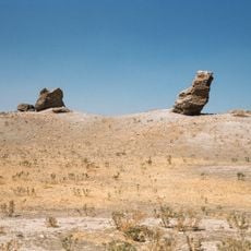
The site sits in a dry region on the eastern side of the Euphrates valley where remains are exposed to the elements and the landscape is open but remote. Visitors should expect uneven terrain and be aware that excavated areas may contain hazards or unstable sections, and the heat can be intense during warmer months.
The site features a rare formation known as a Kranzhugel, where a central mound is encircled by earthen ramparts arranged in rings, a defensive design that few Bronze Age settlements employed. This layout reflects how the builders created protection while organizing different functions within concentric zones.
The community of curious travelers
AroundUs brings together thousands of curated places, local tips, and hidden gems, enriched daily by 60,000 contributors worldwide.