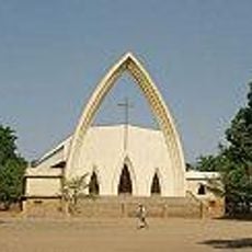
Geography of Chad, African country
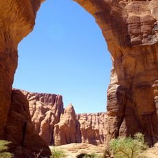
The geography of Chad is a territory in Central Africa with large open spaces and a mixture of desert and grassland. The land is mostly flat, with hills and low mountains in the north, and several rivers and lakes, some of which dry up seasonally.
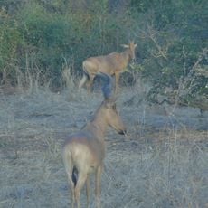
Thousands of years ago, the areas now desert were green and inhabited by wildlife. Over time, the landscape changed through climate shifts, and nomadic groups moved across the plains and deserts for generations, supported by trade routes that connected different regions.
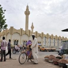
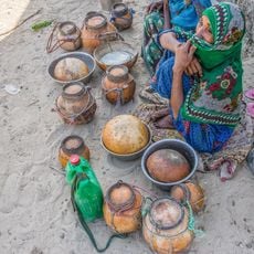
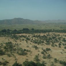
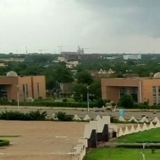
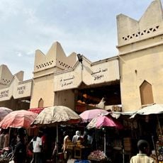
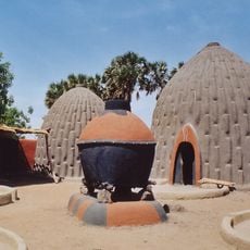
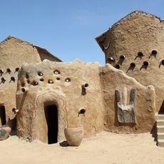
The name Chad comes from Lake Chad, the dominant water body of the region. The landscape itself is used daily by people: in the north, nomads follow the seasons and water sources with their herds, while in the south, farmers work the more fertile land.
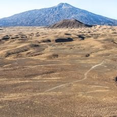
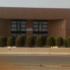
The landscape changes from north to south: the north is very dry and sparsely populated, while the south is greener and more accessible. Travelers should know that roads follow the natural terrain and during the rainy season can become muddy and difficult to pass.
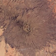
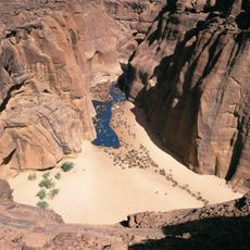
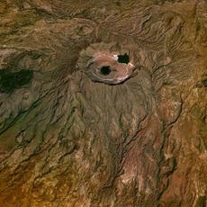
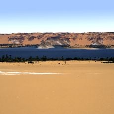
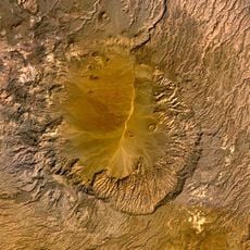
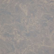
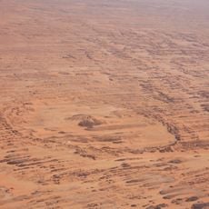
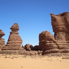
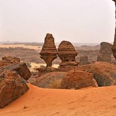
The Bodele Depression in the north is one of the dustiest places on Earth and carries sand particles across great distances into the atmosphere. The Ounianga Lakes in the northern part are remnants of a green Sahara from thousands of years ago and are today a protected World Heritage site.
The community of curious travelers
AroundUs brings together thousands of curated places, local tips, and hidden gems, enriched daily by 60,000 contributors worldwide.