·

Enable Location

We need your location to show you interesting places around you

Discover nearby places

Find interesting locations and hidden gems around you

Precise directions

Get accurate directions and distances to places

Your location is never shared with other users. It's only used when you tap the location button.

Log in to your account

Start exploring — it's free

Trusted by 62,645 travelers worldwide

Continue with Google
Continue with Apple
or

We will send you a code to connect

By continuing, you accept our Terms and Conditions and our Privacy Policy

Check your inbox

We've sent a pincode in your inbox. Please enter the code below.

Tha Sae

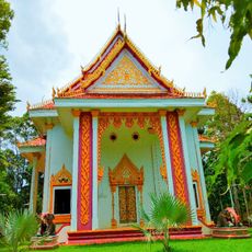
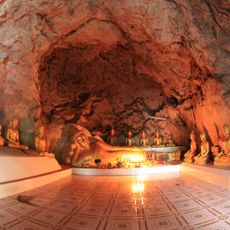
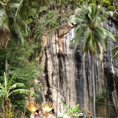
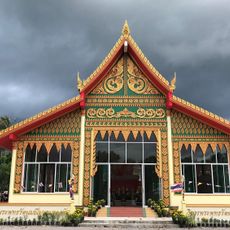
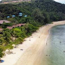
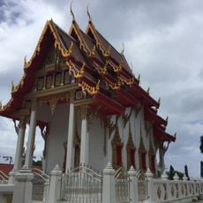
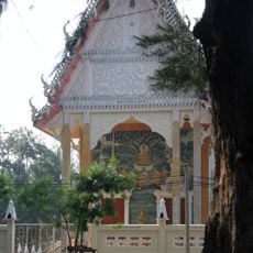
Tha Sae, Administrative district in Chumphon, Thailand.

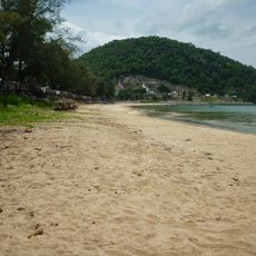
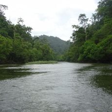
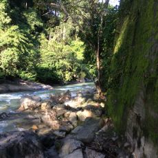
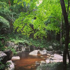
Tha Sae is an administrative district in the northwestern part of Chumphon province, sitting at about 95 meters elevation and covering roughly 1,485 square kilometers. The area divides into 10 sub-districts containing around 116 villages and borders Myanmar.

The area developed from a minor administrative status in 1901 under King Chulalongkorn's reign into an independent entity. It gained full district status in 1940 with its own administrative structure.

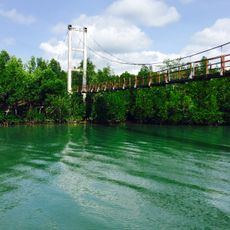
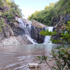
The name comes from a public canal pier near catechu trees, showing how local communities tied their infrastructure to the natural landscape around them. This naming reflects how geography and daily life are woven together in the region's identity.

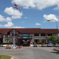
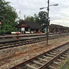
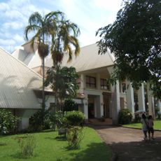
The district connects to neighboring areas like Bang Saphan Noi, Pathio, and Mueang Chumphon with main transport routes between them. Visitors should plan ahead since services and infrastructure in this rural region are more limited than in urban centers.

The Ban Panwal valley holds extensive robusta coffee plantations that form a major center of the country's coffee production. This coffee industry shapes the economic life and daily rhythm of the region.

The community of curious travelers

AroundUs brings together thousands of curated places, local tips, and hidden gems, enriched daily by 60,000 contributors worldwide.

Start exploring
Location
Capital city
Tha Sae
Elevation above the sea
95 m
Shares border with
Bang Saphan Noi, Kra Buri
GPS coordinates
10.66500,99.17333
Latest update
December 7, 2025 20:47
« Tha Sae - Administrative district in Chumphon, Thailand » is provided by Around Us (aroundus.com). Images and texts are derived from Wikimedia project under a Creative Commons license. You are allowed to copy, distribute, and modify copies of this page, under the conditions set by the license, as long as this note is clearly visible.

Discover hidden gems everywhere you go!

From secret cafés to breathtaking viewpoints, skip the crowded tourist spots and find places that match your style. Our app makes it easy with voice search, smart filtering, route optimization, and insider tips from travelers worldwide. Download now for the complete mobile experience.

Around Us App Screenshot

A unique approach to discovering new places

Le Figaro

All the places worth exploring

France Info

A tailor-made excursion in just a few clicks

20 Minutes

Around Us
Travel Guide & Maps
Download

Send to your phone

QR Code
1

Open the camera app on your mobile.

2

Point at the QR code with your camera. A notification will appear.

3

Tap the notification to open the link.