Thap Put, district in Phang Nga province, Thailand
Location: Phang Nga
Elevation above the sea: 30 m
GPS coordinates: 8.51611,98.63972
Latest update: March 9, 2025 01:20

Wat Tham Suea
53.8 km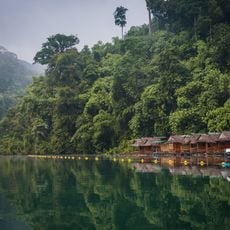
Khao Sok
48.3 km
Sarasin bridge
51.7 km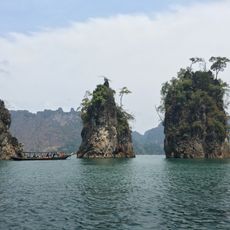
Chiao Lan Lake
55.6 km
Ao Phang-nga National Park
34.2 km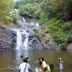
Khao Lampi-Hat Thai Mueang National Park
45.1 km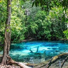
Khao Phanom Bencha National Park
43 km
Khao Lak-Lam Ru National Park
44.5 km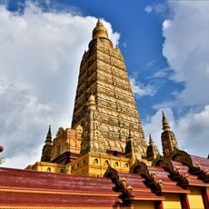
Wat Maha That Wachiramongkon
8.8 km
Than Bok Khorani National Park
17.6 km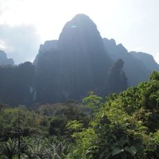
Khlong Phanom National Park
39.6 km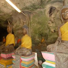
Wat Suwan Khuha
20.9 km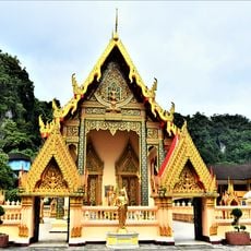
Wat Prachum Yo Thi
13 km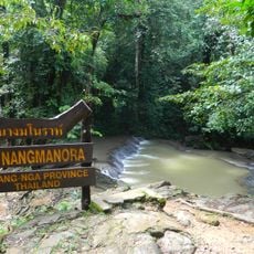
Sa Nang Manora Forest Park
10.8 km
Krabi Provincial Stadium
54.7 km
Wat Khongkha Phimuk
47.3 km
Nang Thong Beach
45.8 km
Wat Rat Uppatham
9.1 km
Phang Nga Province Stadium
13.6 km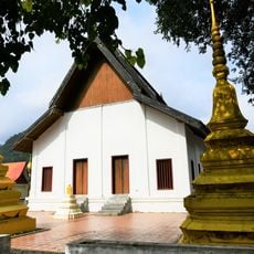
Wat Saraphimuk
13 km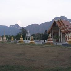
Wat Praphat Prachim Khet
15.8 km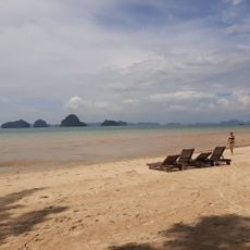
Tubkaek Beach
48.8 km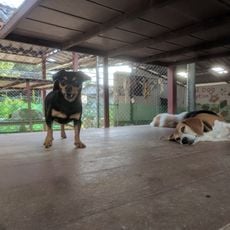
Soi Dog Foundation
56.2 km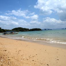
Pasai Beach
46.3 km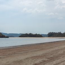
Noppharat Thara Beach
56.1 km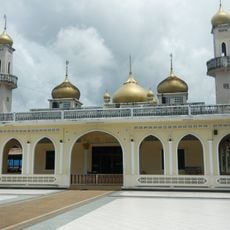
Al-Aman Mosque
55.4 km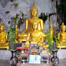
Wat Tham Phraya Nakarat
8.1 km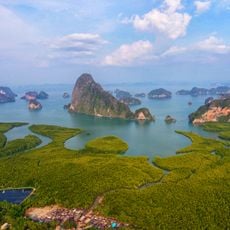
Samet Nang She viewpoint
37.6 kmVisited this place? Tap the stars to rate it and share your experience / photos with the community! Try now! You can cancel it anytime.
Discover hidden gems everywhere you go!
From secret cafés to breathtaking viewpoints, skip the crowded tourist spots and find places that match your style. Our app makes it easy with voice search, smart filtering, route optimization, and insider tips from travelers worldwide. Download now for the complete mobile experience.

A unique approach to discovering new places❞
— Le Figaro
All the places worth exploring❞
— France Info
A tailor-made excursion in just a few clicks❞
— 20 Minutes