Wang Sam Mo, Administrative district in Udon Thani Province, Thailand.
Wang Sam Mo is an administrative district in southeastern Udon Thani Province with a substantial land area encompassing multiple sub-divisions. The territory contains numerous villages spread across the region, connected by road networks that link to surrounding areas.
The area gained full district status in 1981 after previously functioning as a smaller administrative zone with fewer subdivisions. This formal establishment represented a significant step in the development of its local administrative structure.
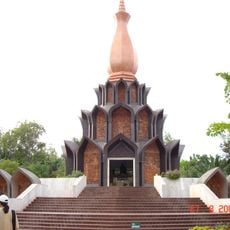
The district takes its name from the Thai words meaning three thousand ponds, a reference to the water features that have shaped how people live and work here. These water sources remain central to local farming practices and daily rhythms.
The district is accessible through well-developed road networks that connect to neighboring areas and make it easy to travel through and explore the various villages. Visitors will find local markets and basic services distributed throughout the region.
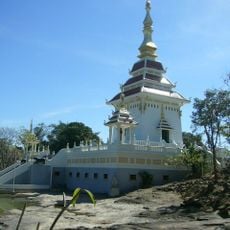
The district combines urban administration in its central region with traditional administrative systems in outlying areas, creating an unusual mix of modern and conventional structures. This dual arrangement becomes visible to visitors traveling through different village zones and their varying governance patterns.
The community of curious travelers
AroundUs brings together thousands of curated places, local tips, and hidden gems, enriched daily by 60,000 contributors worldwide.