
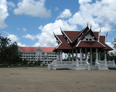
Roi Et, town in Roi Et province, Thailand
Location: Mueang Roi Et
Inception: February 14, 1937
Elevation above the sea: 150 m
Website: https://www.roietmunicipal.go.th/
Website: https://roietmunicipal.go.th
GPS coordinates: 16.05330,103.65130
Latest update: May 15, 2025 06:39

Tung Kula Rong Hai
65.1 km
That Kong Khao Noi
67.7 km
Phra That Kham Kaen
93.9 km
Phra Maha Chedi Chai Mongkhon
78.1 km
Phra Mahathat Kaen Nakhon
95.8 km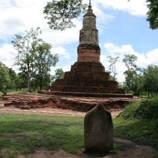
Mueang Fa Daet
32.7 km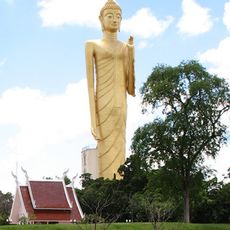
Luangpho Yai
1.3 km
Thep Suda Bridge
76.2 km
Sirindhorn Museum
72.5 km
Wat Phuttha Wanaram
40.7 km
Wat Prachakhom Wanaram
17.4 km
Wat Mahathat
59.9 km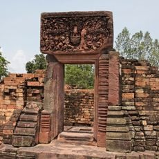
Ku Ka Sing
53.1 km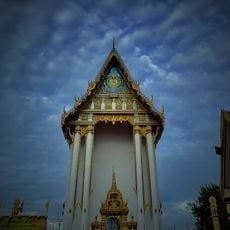
Wat Bueng Phra Lanchai
436 m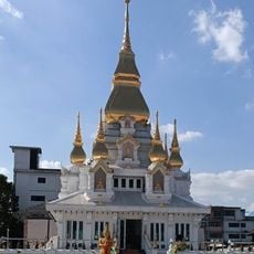
Wat Klang
96.2 km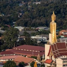
Wat Burapha Phiram
1.3 km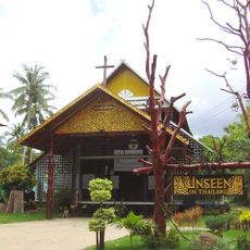
St Michael's Church, Songyae
78 km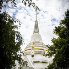
Wat Phra Phutthabat Yasothon
81.6 km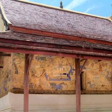
Wat Photharam
61.4 km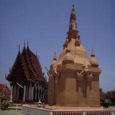
Wat Thung Sawang Chaiyaphum
60.3 km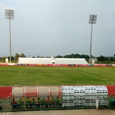
Mahasarakham Province Stadium
37.6 km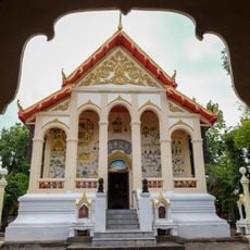
Wat Nuea
1 km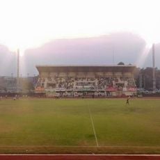
Kalasin Town municipality Stadium
42.9 km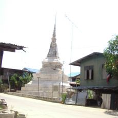
Wat Sing Tha
60.2 km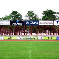
Khon Kaen Sports School Stadium
87.6 km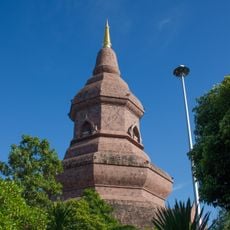
Wat Phuttha Nimit
75.4 km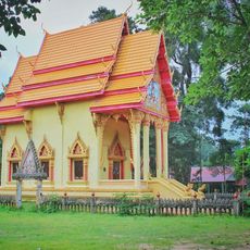
Wat Tri Suwannaram
92.6 km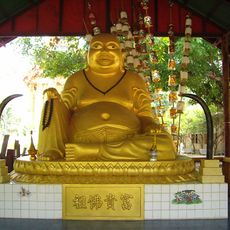
Wat Don Phrachao
58.4 kmReviews
Visited this place? Tap the stars to rate it and share your experience / photos with the community! Try now! You can cancel it anytime.
Discover hidden gems everywhere you go!
From secret cafés to breathtaking viewpoints, skip the crowded tourist spots and find places that match your style. Our app makes it easy with voice search, smart filtering, route optimization, and insider tips from travelers worldwide. Download now for the complete mobile experience.

A unique approach to discovering new places❞
— Le Figaro
All the places worth exploring❞
— France Info
A tailor-made excursion in just a few clicks❞
— 20 Minutes