Bosporus Strait

Log in to your account

AroundUs is a community-driven map of interesting places, built by curious explorers like you. It grows with every review, story, and photo you share.
Connect to save your favorite spots, contribute locations, and create personalized routes.
Continue with Google
Continue with Apple
Continue with X
Continue with Facebook
Continue with email
By continuing, you accept our Terms and Conditions and our Privacy Policy
Create an account
Add to collection
Map
Suggest a change
Share

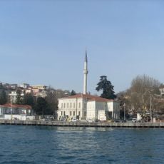
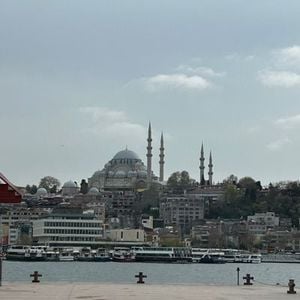
Bosporus Strait, Natural strait in Istanbul, Turkey.

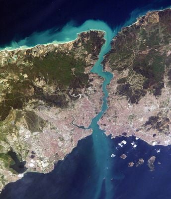
The Bosporus is a strait in Istanbul, Turkey, separating the European and Asian sides of the city and linking the Black Sea with the Sea of Marmara. The water flows through a narrow channel between hills on both sides, with the width varying from roughly 2300 feet (700 meters) at the narrowest point to over 1.9 miles (3 kilometers).

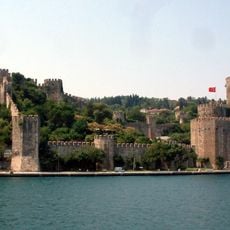
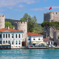
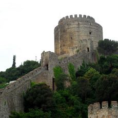
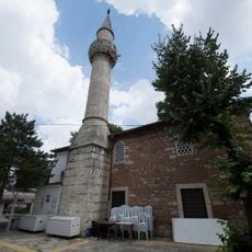
Persian and Greek armies crossed here on pontoon bridges as early as the 5th century BCE, and the area later marked the boundary of the Roman and Byzantine empires. The Ottoman conquest of Constantinople in 1453 turned the waterway into a strategic route controlled by Turkish naval bases for three centuries.

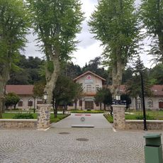
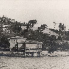
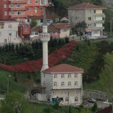
Local fishermen use traditional boats to work the waters of the channel, while tea gardens along both shores draw residents and travelers who sit watching the passing traffic. The name comes from Greek mythology and means ford of the cow, a reference to the story of Io, who is said to have crossed the water at this point.

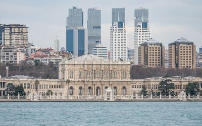
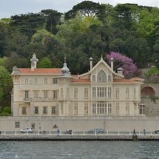
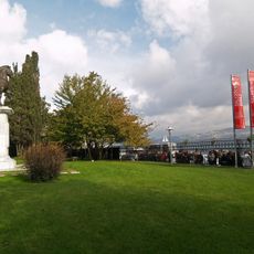
Visitors can view the waterway from the water on excursion boats that depart from various piers on both sides, or from parks and promenades along the shores. The strongest currents occur during tidal changes, so the water appears noticeably more turbulent at certain times of the day than at others.

The waterway hosts a two-layer water flow, with surface water moving from the Black Sea toward Marmara while saltier water flows in the opposite direction below. This difference arises from the salinity gap between the two seas, with the Black Sea being less salty than the Sea of Marmara.

Location: Istanbul Province

Part of: Black Sea, Sea of Marmara

GPS coordinates: 41.12000,29.08000

Latest update: December 12, 2025 16:52

Photos
Instagrammable photo locations in Istanbul

Istanbul offers photographers an uncommon range of subjects, combining architecture from multiple centuries with urban landscapes and waterways. This route includes Byzantine and Ottoman monuments such as Hagia Sophia and Topkapi Palace, along with the Galata Tower that has stood over the old city...

The most important maritime straits in the World

Maritime straits are among the most important sea passages in the world. These natural waterways between landmasses connect oceans and seas, allowing the movement of cargo ships, tankers, and container vessels. The Strait of Malacca between Malaysia and Indonesia is one of the busiest routes for...

Reviews

Visited this place? Tap the stars to rate it and share your experience / photos with the community! Try now! You can cancel it anytime.

« Bosporus Strait - Natural strait in Istanbul, Turkey » is provided by Around Us (aroundus.com). Images and texts are derived from Wikimedia project under a Creative Commons license. You are allowed to copy, distribute, and modify copies of this page, under the conditions set by the license, as long as this note is clearly visible.

Discover hidden gems everywhere you go!

From secret cafés to breathtaking viewpoints, skip the crowded tourist spots and find places that match your style. Our app makes it easy with voice search, smart filtering, route optimization, and insider tips from travelers worldwide. Download now for the complete mobile experience.

Around Us App Screenshot

A unique approach to discovering new places

Le Figaro

All the places worth exploring

France Info

A tailor-made excursion in just a few clicks

20 Minutes