
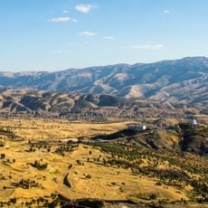
Kurtalan, district and town of Siirt, Turkey
Location: Siirt Province
Elevation above the sea: 1,125 m
GPS coordinates: 37.92611,41.70028
Latest update: March 3, 2025 03:52
Mount Judi
90.3 km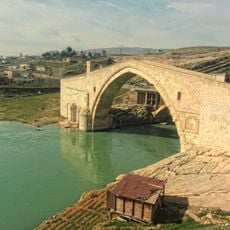
Malabadi Bridge
50.4 km
Tigranocerta
65.8 km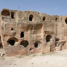
Dara
105.9 km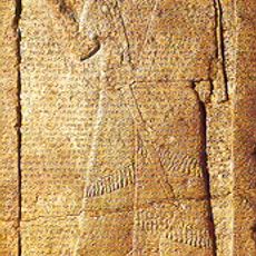
Kurkh Monoliths
102.6 km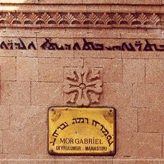
Mor Gabriel Monastery
68.8 km
Mor Hananyo Monastery
106.2 km
Мавзолей Зейнал-бека
33.1 km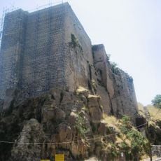
Bitlis Castle
63.8 km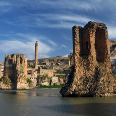
Old Bridge, Hasankeyf
34.7 km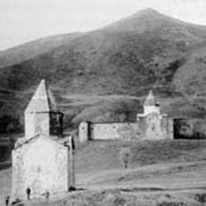
Arakelots Monastery
87.1 km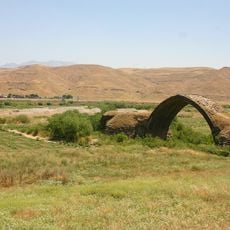
Ain Diwar Bridge
81.9 km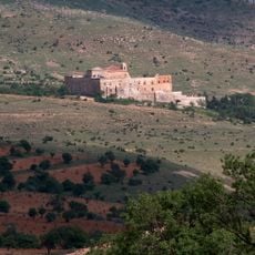
Mount Izla
81 km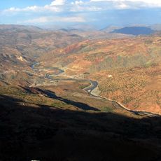
Botan Valley National Park
21.6 km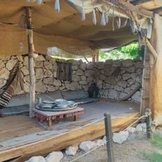
Batman Museum
49.2 km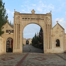
Mor Hobil Mor Abrohom Monastery
63.4 km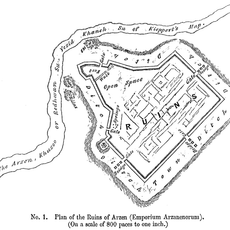
Arzen
28.3 km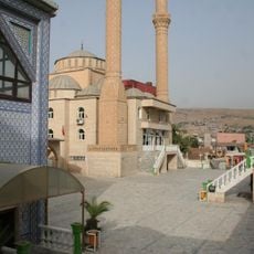
Noah's Mausoleum (Cizre, Turkey)
79.5 km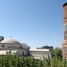
Great Mosque of Siirt
21.5 km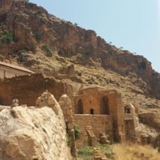
Monastery of Mor Augin
84.9 km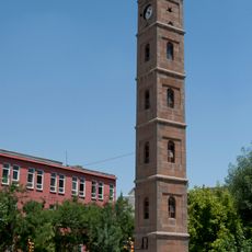
Siirt Clock Tower
21.1 km
Mor Yakup Monastery (Saleh)
56.1 km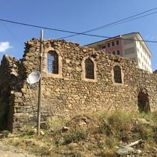
St. Marineh Church, Mush
91.3 km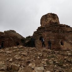
Aghperig Monastery
73.2 km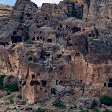
Hassuni Caves
58.3 km
Cizre Castle
79.4 km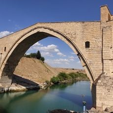
Malabadi Bridge
50.4 km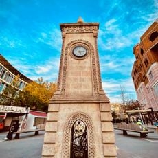
Batman Clock Tower
50.6 kmReviews
Visited this place? Tap the stars to rate it and share your experience / photos with the community! Try now! You can cancel it anytime.
Discover hidden gems everywhere you go!
From secret cafés to breathtaking viewpoints, skip the crowded tourist spots and find places that match your style. Our app makes it easy with voice search, smart filtering, route optimization, and insider tips from travelers worldwide. Download now for the complete mobile experience.

A unique approach to discovering new places❞
— Le Figaro
All the places worth exploring❞
— France Info
A tailor-made excursion in just a few clicks❞
— 20 Minutes