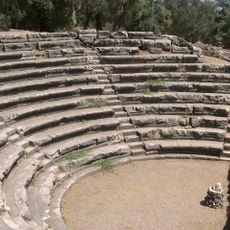
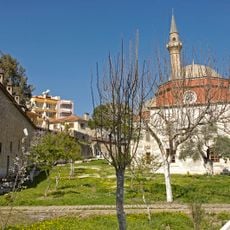
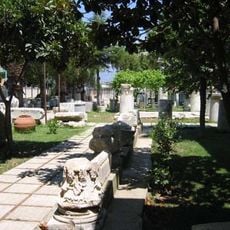
Atça, Residential neighborhood in Sultanhisar, Turkey
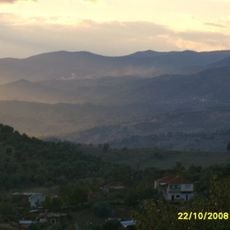
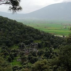
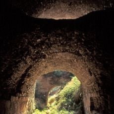
Atça is a residential neighborhood in Sultanhisar situated on an agricultural plain surrounded by fields that define the local landscape. The area lies at approximately 84 meters elevation and connects to surrounding settlements through regional roads.
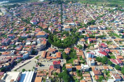
The area was destroyed during the Greco-Turkish War from 1919 to 1922 but was subsequently rebuilt with a new layout. The reconstruction followed European design principles that shaped the settlement's current form.
The neighborhood incorporates traditional Anatolian practices while maintaining modern urban planning elements through its eight radiating streets from a central square.
The neighborhood is accessible via regional road connections and operates in the UTC+3 time zone. Visitors should be aware this is a rural area with agricultural activities best explored by personal transportation.
The settlement was planned with a radial layout featuring eight main streets extending from a central square. This geometric design was uncommon for Anatolia at the time of its creation and reflects European influence on post-war reconstruction.
The community of curious travelers
AroundUs brings together thousands of curated places, local tips, and hidden gems, enriched daily by 60,000 contributors worldwide.