Enable Location

We need your location to show you interesting places around you

Discover nearby places

Find interesting locations and hidden gems around you

Precise directions

Get accurate directions and distances to places

Your location is never shared with other users. It's only used when you tap the location button.

Guantian District

Log in to your account

Start exploring — it's free

Trusted by 61,983 travelers worldwide

Continue with Google
Continue with Apple
or

We will send you a code to connect

By continuing, you accept our Terms and Conditions and our Privacy Policy

Check your inbox

We've sent a pincode in your inbox. Please enter the code below.

Guantian District

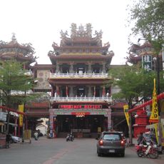
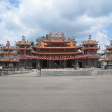
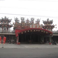
Guantian District, Rural district in Tainan, Taiwan

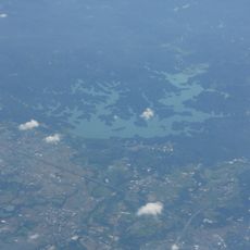
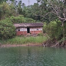
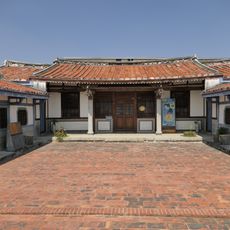
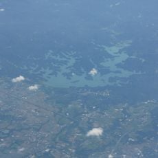
Guantian District is a rural area in central Tainan composed of multiple villages spread across flat farmland. The landscape is dominated by agricultural fields and farming communities that define its character.

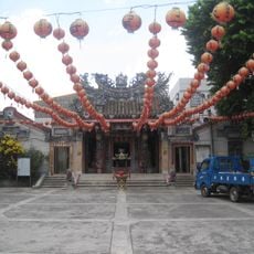
The area was originally known as Wang Tian and underwent name changes through different periods of rule. It became Guantian during the Ming Zheng era and developed as a settlement under the Chen Yonghua family's influence.

The district maintains strong agricultural traditions with cultivation of rice, sweet potatoes, and sugarcane alongside watermelon seed production. These crops shape the everyday rhythms and livelihood of the farming families who work the land.

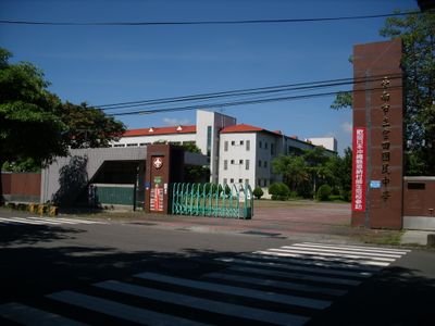
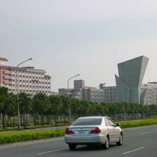
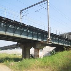
The district is accessible via rail stations and highway connections serving the broader Tainan region. Since this is a rural area, exploring on your own transportation is the most practical way to move around.

A former leader of the Republic of China came from this farming area, bringing national attention to the region. The connection between rural origins and national leadership remains a notable part of the district's story.

The community of curious travelers

AroundUs brings together thousands of curated places, local tips, and hidden gems, enriched daily by 60,000 contributors worldwide.

Start exploring
Location
Elevation above the sea
35 m
Shares border with
Xiaying District, Lioujia District, Danei District, Shanhua District, Madou District
GPS coordinates
23.18333,120.33333
Latest update
December 7, 2025 19:25
« Guantian District - Rural district in Tainan, Taiwan » is provided by Around Us (aroundus.com). Images and texts are derived from Wikimedia project under a Creative Commons license. You are allowed to copy, distribute, and modify copies of this page, under the conditions set by the license, as long as this note is clearly visible.

Discover hidden gems everywhere you go!

From secret cafés to breathtaking viewpoints, skip the crowded tourist spots and find places that match your style. Our app makes it easy with voice search, smart filtering, route optimization, and insider tips from travelers worldwide. Download now for the complete mobile experience.

Around Us App Screenshot

A unique approach to discovering new places

Le Figaro

All the places worth exploring

France Info

A tailor-made excursion in just a few clicks

20 Minutes

Around Us
Travel Guide & Maps
Download

Send to your phone

QR Code
1

Open the camera app on your mobile.

2

Point at the QR code with your camera. A notification will appear.

3

Tap the notification to open the link.