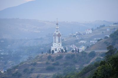
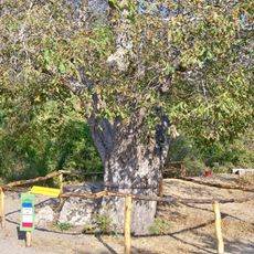
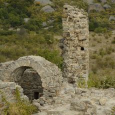
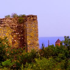
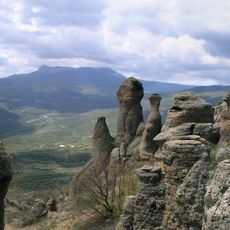
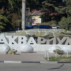
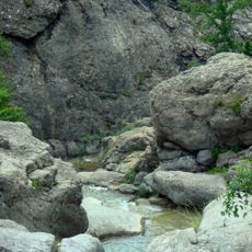
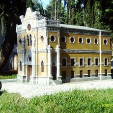
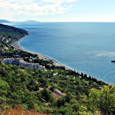
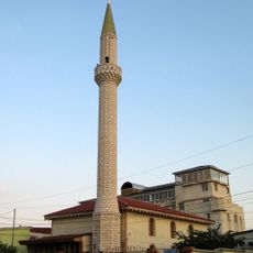
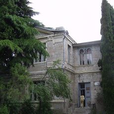
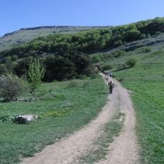
Malorichens'ke, human settlement in Alushta city council, Autonomous Republic of Crimea, Russia
Location: Alushta city council
Elevation above the sea: 17 m
GPS coordinates: 44.75833,34.55694
Latest update: March 2, 2025 23:12
Djur-Djur
9.3 km
Saint Nicholas Church
712 m
Funa Fortress
13.3 km
Saint Theodore church in Alushta
14.8 km
Walnut of Yuri Nikulin
12.6 km
Funa Fortress
13.4 km
Aluston
14.9 km
Hora Karatau
11.2 km
Demerdji natural boundary
11.9 km
Alushta Aquarium
15.1 km
Mountain Karst of Crimea
10.2 km
Փոքրապատկեր Ղրիմը (զբոսայգի)
15.2 km
Grand bouzlouk
11.3 km
Dhzurla
10.4 km
Grotte du soldat
13.1 km
Khaphal Reserve
9 km
Kanaka Botanic Sanctuary
6.8 km
Yuqary Mosque
14.9 km
Villa Golubka
14.6 km
Alushta Museum of Local History
14.7 km
Перевал МАН
14.6 km
Mount Demerdzhi
13.5 km
Stakheev palace in Alushta
14.3 km
Карабі-яйлінськая котловина
13.8 km
Platan Memory of Aluston
14.4 km
Karany-Koba
15.1 km
Demerdji Isar
11.5 km
Памятник первому правительству республики Таврида
14.5 kmVisited this place? Tap the stars to rate it and share your experience / photos with the community! Try now! You can cancel it anytime.
Discover hidden gems everywhere you go!
From secret cafés to breathtaking viewpoints, skip the crowded tourist spots and find places that match your style. Our app makes it easy with voice search, smart filtering, route optimization, and insider tips from travelers worldwide. Download now for the complete mobile experience.
A unique approach to discovering new places❞
— Le Figaro
All the places worth exploring❞
— France Info
A tailor-made excursion in just a few clicks❞
— 20 Minutes