
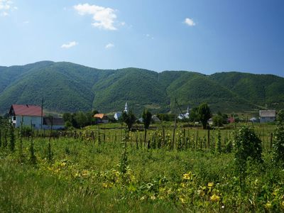
Negrovets', village in Mizhhirya Raion, Zakarpattia Oblast, Ukraine
Location: Khust Raion
Location: Kolochava hromada
Inception: 1463
Elevation above the sea: 654 m
GPS coordinates: 48.46167,23.64056
Latest update: March 9, 2025 09:20
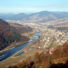
Mizhhirya
12.7 km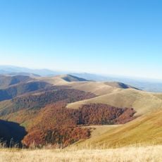
Borzhava Ridge
21.8 km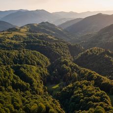
Synevyr National Nature Park
6.1 km
Vilshany Reservoir
9.4 km
Uholka-Shyrokyi Luh protected massif
18.4 km
Strimba
12.1 km
Kamianka Waterfall (Synevyr)
10.9 km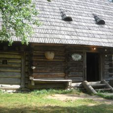
Museum Altes Dorf
7.3 km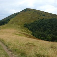
Kuk
17.6 km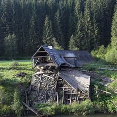
Музей лісу і сплаву
8.2 km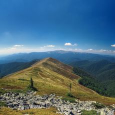
Hora Munchel
16.7 km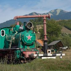
Kolochava narrow gauge railway
6.5 km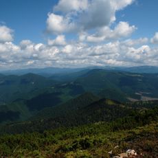
Stranzul, Zadnia, Kedryn
20.1 km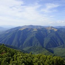
Nehrovec
6.9 km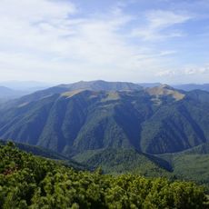
Jasnovets
9.5 km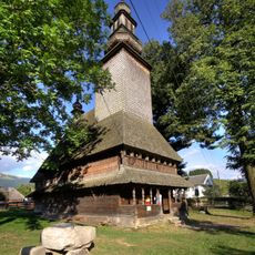
Holy Spirit church in Kolochava
4.2 km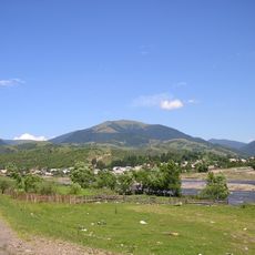
Mount Darvajka
8.4 km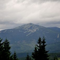
Bradulskyi Reserve
20.4 km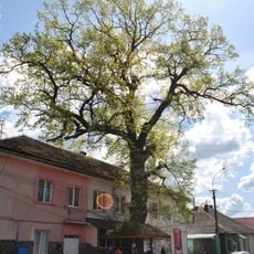
Дуб звичайний
12.8 km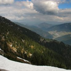
Kamianka Reserve
9.8 km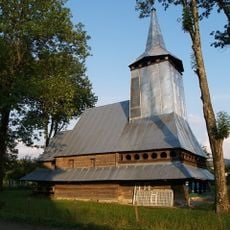
Saint Demetrius of Thessaloniki Church in Repynne
19.6 km
Річанський заказник
17.7 km
Spring №1 Natural Monument
6.3 km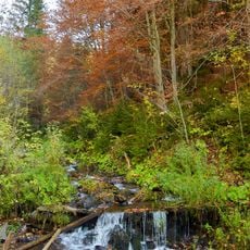
Omnozhanskyii Reserve
10.7 km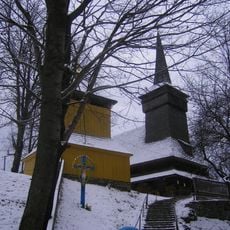
Saint Michael church, Nehrovets
1.8 km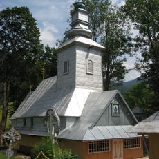
Church of the Intercession, Synevyrska Poliana
14 km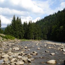
Kantyna Reserve
8.3 km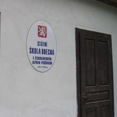
Czech school
6.1 kmVisited this place? Tap the stars to rate it and share your experience / photos with the community! Try now! You can cancel it anytime.
Discover hidden gems everywhere you go!
From secret cafés to breathtaking viewpoints, skip the crowded tourist spots and find places that match your style. Our app makes it easy with voice search, smart filtering, route optimization, and insider tips from travelers worldwide. Download now for the complete mobile experience.

A unique approach to discovering new places❞
— Le Figaro
All the places worth exploring❞
— France Info
A tailor-made excursion in just a few clicks❞
— 20 Minutes