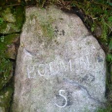
Bodmin Moor, Protected granite massif in Cornwall, England
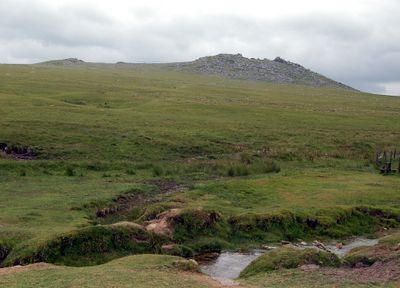
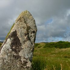
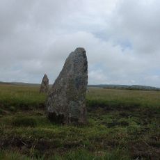
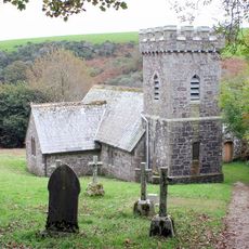
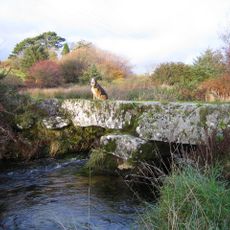
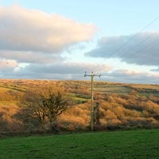
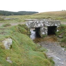
Bodmin Moor is a granite massif in Cornwall that rises above vast moorland covered with grass, heather, and scattered traces of ancient settlements. The landscape is marked by distinctive granite outcrops called tors that stand out across the open terrain.
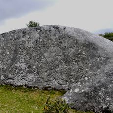
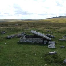
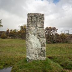
The area was fundamentally shaped during the Bronze Age through the construction of over 200 settlements, stone circles, and burial mounds. These prehistoric structures show that people have lived and worked on this landscape for thousands of years.
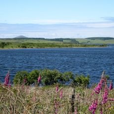
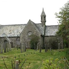
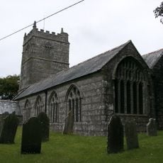
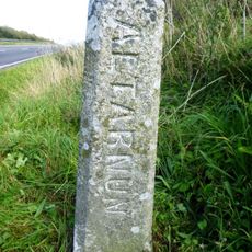
The moorland is woven into local stories and legends, including tales of King Arthur and the mystical Dozmary Pool. Visitors can explore these places today and see how deeply the landscape shapes regional imagination.
The International Dark Sky Park designation makes this location excellent for observing the night sky throughout the year. Visitors should bring proper clothing for changeable weather and stick to marked paths, as the open terrain offers little shelter.
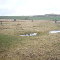
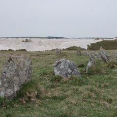
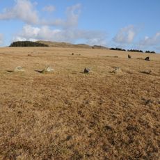
The Hurlers are three stone circles that local legend says were once people turned to stone for playing games on Sunday as punishment. This unusual story shows how closely natural features are tied to folk moral tales.
Location: Cornwall
GPS coordinates: 50.56250,-4.61320
Latest update: December 14, 2025 21:09
Jamaica Inn
3.3 km
Colliford Lake
4.9 km
King Arthur's Hall
2.2 km
Trippet stones
2.7 km
Stannon stone circle
4 km
Stripple stones
1.8 km
Fernacre
3.1 km
Jubilee Rock
5.3 km
De Lank Quarries
5.2 km
Emblance Downs stone circles
1.6 km
Holy Trinity Church
3 km
Six cairns on Buttern Hill
5.4 km
Church of St Brueredus
5.3 km
Milestone 40 Metres To The South Of Holy Trinity Church
3 km
Church of St Catherine
3.7 km
Boundary Stone To South West Of Delford Bridge
3.7 km
Bradford Bridge
3.4 km
The Middle Moor Cross, 230m north-east of Camperdown Farm
3.5 km
Bolventor War Memorial and dwarf walls
3.3 km
Delford Bridge
3.7 km
Footbridge To West Of Bradford Bridge
3.4 km
Clapperbridge To East Of Ivey
1.9 km
Boundary Stone 220 Metres To North East Of Higher Cannaframe Farm
5.1 km
Durford
4.8 km
White Meadow
4 km
Milestone Opposite Middle Lordswaste (Ngr Sx1725075097)
2.9 km
Foot bridge 900 metres to south east of Roughtor Farm
5.1 km
Guidestone, opp. Higher Penstroda farmhouse
5.5 kmVisited this place? Tap the stars to rate it and share your experience / photos with the community! Try now! You can cancel it anytime.
Discover hidden gems everywhere you go!
From secret cafés to breathtaking viewpoints, skip the crowded tourist spots and find places that match your style. Our app makes it easy with voice search, smart filtering, route optimization, and insider tips from travelers worldwide. Download now for the complete mobile experience.
A unique approach to discovering new places❞
— Le Figaro
All the places worth exploring❞
— France Info
A tailor-made excursion in just a few clicks❞
— 20 Minutes