Eastern Continental Divide, Drainage divide in Appalachian Mountains, US
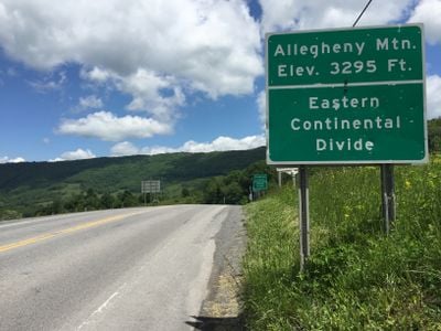
The Eastern Continental Divide is a drainage divide in the Appalachian Mountains running from Pennsylvania to Florida. It separates rivers and streams flowing toward the Atlantic Ocean from those heading to the Gulf of Mexico.
Before 1760 this section served as the boundary between British colonies to the east and French territory to the west. Later treaties between European powers and indigenous peoples redrew this line several times.
Multiple Native American tribes established territories along the divide, utilizing the varied water sources and high elevations for seasonal migrations and settlements.
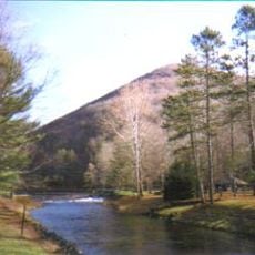
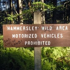
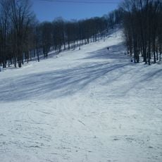
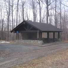
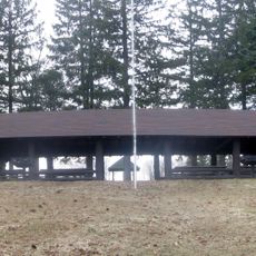
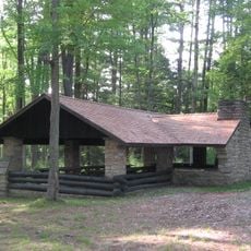
Hikers can follow marked trails through eight states, reaching elevations above 3500 feet (1000 meters) in some sections. Signs along certain stretches indicate which direction water flows from that point.
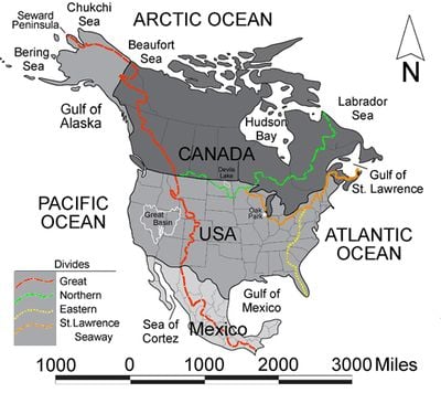
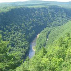
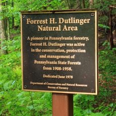
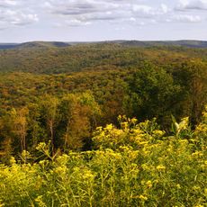
In Potter County, Pennsylvania, this line intersects with the Saint Lawrence Divide, forming a point where water flows in three different directions. This location is called Triple Divide Peak and is marked on hiking maps.
The community of curious travelers
AroundUs brings together thousands of curated places, local tips, and hidden gems, enriched daily by 60,000 contributors worldwide.