Cloud County, Administrative division in Kansas, United States
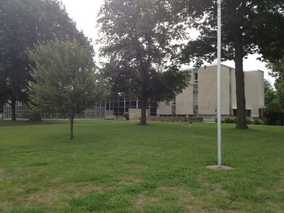
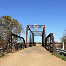
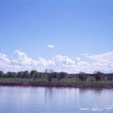
Cloud County is an administrative division in north-central Kansas that spans across prairie landscape and farmland. The Republican River flows through its territory, running from north to south and defining much of the natural geography.
The county was established in 1867 and named after William Cloud, a colonel in the Second Kansas Cavalry during the Civil War. The name change from its original designation reflected the region's connection to early American military history.
The county maintains several townships including Arion, Aurora, Buffalo, Center, Colfax, and Elk, each contributing to the regional administrative structure.
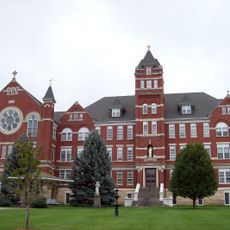
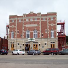
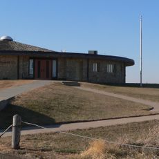
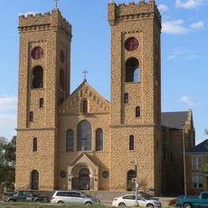
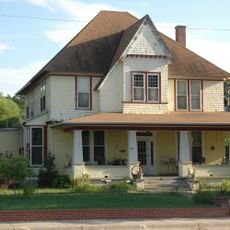
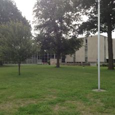
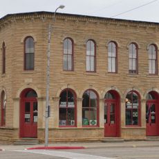
The area is easily accessible by car, with Concordia serving as the main hub for services and amenities in the county. Educational institutions and healthcare facilities are available to residents and visitors throughout the region.
The population of Cloud County reached its maximum of 19,295 residents in 1890, marking the peak of settlement in this Kansas territory.
Location: Kansas
Inception: February 27, 1860
Capital city: Concordia
Shares border with: Republic County, Ottawa County, Washington County, Mitchell County, Clay County, Jewell County
Website: http://cloudcountyks.org
GPS coordinates: 39.57000,-97.66000
Latest update: December 7, 2025 20:24
Rock City, Kansas
53.7 km
Waconda Lake
61.8 km
Nazareth Convent and Academy
705 m
Brown Grand Theatre
346 m
Site No. JF00-072
54.1 km
Pawnee Indian Museum State Historic Site
41.4 km
St. John the Baptist Catholic Church
40 km
County Line Bowstring
12 km
Republican River Pegram Truss
8.2 km
Charles W. Van De Mark House
22.4 km
Pott's Ford Bridge
29.6 km
Jamestown (Kansas) Wildlife Area
23.7 km
Bankers Loan and Trust Company Building
229 m
Jewell County Courthouse
53 km
Cloud County Courthouse
124 m
Cloud County Veterans Memorial
103 m
Clay County Courthouse
50.7 km
Mitchell County Courthouse
40.5 km
Glasco Downtown Historic District
27.9 km
Clay Center Carnegie Library
50.8 km
Washington County Courthouse
59 km
Republic County Courthouse
28.3 km
Lincoln County Courthouse
72.2 km
Cummins Block Building
72.4 km
Pawnee Indian Museum State Historic Site
41.4 km
Salt Creek Bridge
52.7 km
Riley Creek Bridge
24.4 km
Queen Road-East Riley Creek Bridge
23.9 kmVisited this place? Tap the stars to rate it and share your experience / photos with the community! Try now! You can cancel it anytime.
Discover hidden gems everywhere you go!
From secret cafés to breathtaking viewpoints, skip the crowded tourist spots and find places that match your style. Our app makes it easy with voice search, smart filtering, route optimization, and insider tips from travelers worldwide. Download now for the complete mobile experience.
A unique approach to discovering new places❞
— Le Figaro
All the places worth exploring❞
— France Info
A tailor-made excursion in just a few clicks❞
— 20 Minutes