Doniphan County

Log in to your account

AroundUs is a community-driven map of interesting places, built by curious explorers like you. It grows with every review, story, and photo you share.
Connect to save your favorite spots, contribute locations, and create personalized routes.
Continue with Google
Continue with Apple
Continue with X
Continue with Facebook
Continue with email
By continuing, you accept our Terms and Conditions and our Privacy Policy
Create an account
Add to collection
Map
Suggest a change
Share

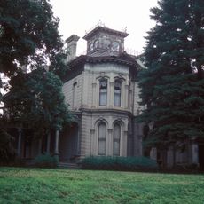
Doniphan County, Administrative county in northeastern Kansas, United States.

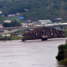
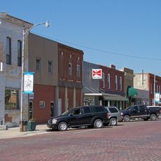
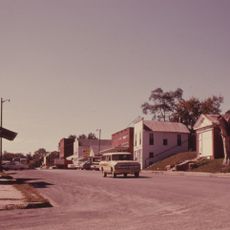
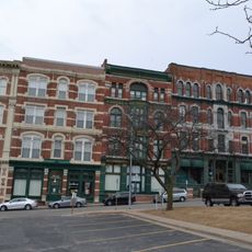
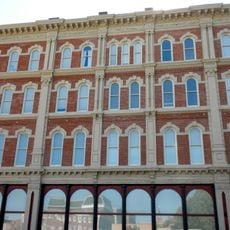
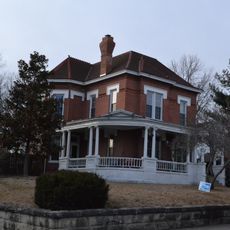
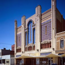
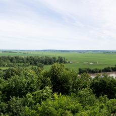
Doniphan County is an administrative division in northeastern Kansas situated along the Missouri River, characterized by agricultural land and scattered small communities throughout the area. The region has a rural character shaped by farming and natural waterway boundaries.

The county was established in August 1855 and named after Colonel Alexander W. Doniphan, a military leader during the Mexican-American War. This naming reflects the influence of early frontier figures on the region's development.

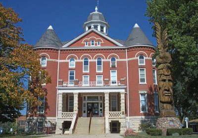
The Native American Heritage Museum in the region displays collections about indigenous peoples and their historical presence in the area. The exhibits show how these communities shaped the land and its early development.

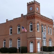
The county administration operates from multiple locations, with council meetings held in different cities such as White Cloud and Denton to serve various communities. Visitors seeking county services should check in advance about specific office locations in their area of interest.

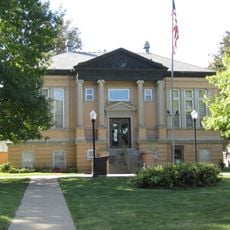
Highland Community College, founded in 1858 within the region, holds the distinction of being the first college established in Kansas. This pioneering educational institution helped put the area on the map as a center of learning during the state's early formation.

Location: Kansas

Inception: August 30, 1855

Capital city: Troy

Shares border with: Holt County, Atchison County, Brown County, Richardson County, Andrew County, Buchanan County

Website: http://DpCountyKS.com

GPS coordinates: 39.85444,-94.97167

Latest update: December 7, 2025 20:42

Photos
Around this place
United States of America

Krug Park

12 km
Terrible's St. Jo Frontier Casino
United States of America

Terrible's St. Jo Frontier Casino

11.3 km
St. Joseph Swing Bridge
United States of America

St. Joseph Swing Bridge

14.9 km
Robidoux Row
United States of America

Robidoux Row

13.2 km
Pony Express Bridge
United States of America

Pony Express Bridge

15.2 km
German-American Bank Building
United States of America

German-American Bank Building

14.2 km
Site No. RH00-062
United States of America

Site No. RH00-062

34.8 km
Doniphan County Courthouse Square Historic District
United States of America

Doniphan County Courthouse Square Historic District

12.6 km
South Fourth Street Commercial Historic District
United States of America

South Fourth Street Commercial Historic District

14.1 km
Hall Street Historic District
United States of America

Hall Street Historic District

13.8 km
Corby-Forsee Building
United States of America

Corby-Forsee Building

14 km
Buchanan County Courthouse
United States of America

Buchanan County Courthouse

13.8 km
Krug Park Place Historic District
United States of America

Krug Park Place Historic District

12.8 km
Doniphan County Courthouse
United States of America

Doniphan County Courthouse

12.6 km
Missouri Valley Trust Company Historic District
United States of America

Missouri Valley Trust Company Historic District

13.9 km
St. Joseph Public Library-Carnegie Branch
United States of America

St. Joseph Public Library-Carnegie Branch

17.9 km
Irvin Hall
United States of America

Irvin Hall

25.5 km
White Cloud Historic District
United States of America

White Cloud Historic District

30.9 km
Wholesale Row Historic District
United States of America

Wholesale Row Historic District

13.8 km
Robidoux Hill Historic District
United States of America

Robidoux Hill Historic District

13.6 km
City Hall
United States of America

City Hall

23.5 km
Thompson-Brown-Sandusky House
United States of America

Thompson-Brown-Sandusky House

18.8 km
John D. Richardson Dry Goods Company
United States of America

John D. Richardson Dry Goods Company

13.7 km
Central-North Commercial Historic District
United States of America

Central-North Commercial Historic District

13.8 km
Dewey Avenue-West Rosine Historic District
United States of America

Dewey Avenue-West Rosine Historic District

12.7 km
Missouri Theatre
United States of America

Missouri Theatre

14.3 km
Four State Lookout
United States of America

Four State Lookout

31.3 km
Remington Nature Center Of St. Joseph
United States of America

Remington Nature Center Of St. Joseph

11.9 km
Show the full map
Reviews

Visited this place? Tap the stars to rate it and share your experience / photos with the community! Try now! You can cancel it anytime.

Administrative divisions
« Doniphan County - Administrative county in northeastern Kansas, United States » is provided by Around Us (aroundus.com). Images and texts are derived from Wikimedia project under a Creative Commons license. You are allowed to copy, distribute, and modify copies of this page, under the conditions set by the license, as long as this note is clearly visible.

Discover hidden gems everywhere you go!

From secret cafés to breathtaking viewpoints, skip the crowded tourist spots and find places that match your style. Our app makes it easy with voice search, smart filtering, route optimization, and insider tips from travelers worldwide. Download now for the complete mobile experience.

Around Us App Screenshot

A unique approach to discovering new places

Le Figaro

All the places worth exploring

France Info

A tailor-made excursion in just a few clicks

20 Minutes