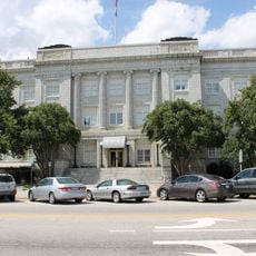
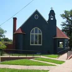
Fayetteville, County seat in Cumberland County, North Carolina
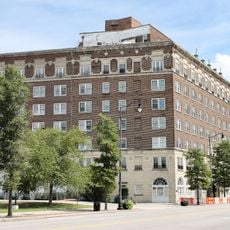
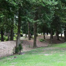
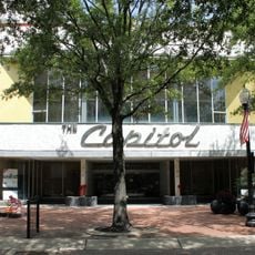
Fayetteville sits along the Cape Fear River in the Sandhills region and covers roughly 150 square miles at about 262 feet above sea level. The city connects residential neighborhoods with commercial centers and parks, while streets run from the historic core to surrounding districts.
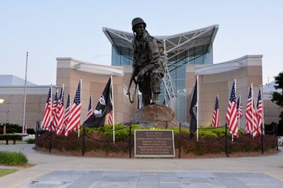
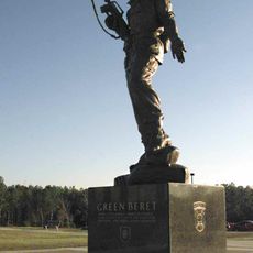
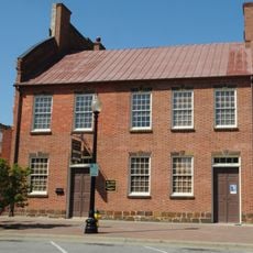
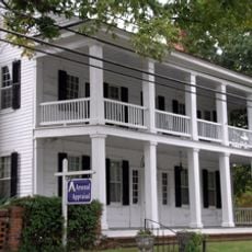
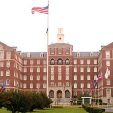
The city formed in 1783 through the merger of Cross Creek and Campbellton settlements and took its name from General Lafayette, who fought in the Revolutionary War. In the 20th century, the establishment and expansion of military facilities nearby influenced further development and growth.
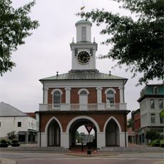
The name comes from General Lafayette, an officer in the Revolutionary War, and the military presence still shapes daily life through the connection to Fort Liberty. Farmers sell regional produce at the downtown market, while walkers and anglers use the paths along the river.
Interstate 95 and several state highways pass through the area and make it easier to reach from different directions. Many spots in the center and along the river can be reached on foot or by bicycle.
The Cape Fear River, which flows through the city, served for centuries as a transport route for goods and travelers heading inland. Today, kayakers and boaters use the river for leisure trips, while the old landing sites and shore paths recall its earlier importance for trade and transport.
The community of curious travelers
AroundUs brings together thousands of curated places, local tips, and hidden gems, enriched daily by 60,000 contributors worldwide.