Cumberland County

Log in to your account

AroundUs is a community-driven map of interesting places, built by curious explorers like you. It grows with every review, story, and photo you share.
Connect to save your favorite spots, contribute locations, and create personalized routes.
Continue with Google
Continue with Apple
Continue with X
Continue with Facebook
Continue with email
By continuing, you accept our Terms and Conditions and our Privacy Policy
Create an account
Add to collection
Map
Suggest a change
Share

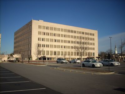
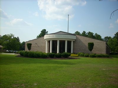
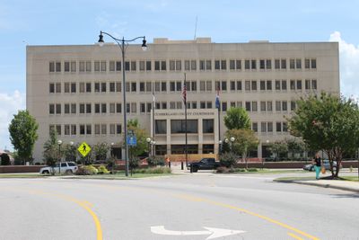
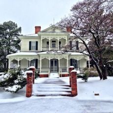
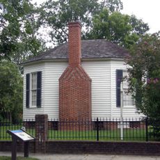
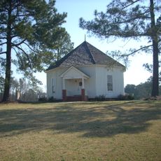
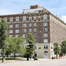
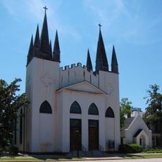
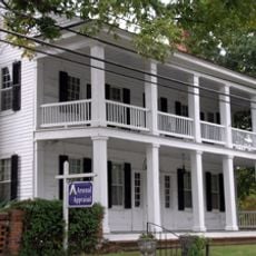
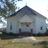
Cumberland County, County administrative division in North Carolina, United States

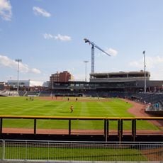
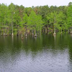
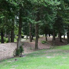
Cumberland County is an administrative division in North Carolina with diverse geography that connects urban centers like Fayetteville to more rural areas. The county spans several hundred square miles and houses multiple communities with distinct characters.

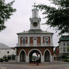
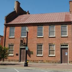
The county was established in 1754 and named after Prince William Augustus, Duke of Cumberland, a British military commander. This naming reflects the region's historical ties to Britain during the colonial era.

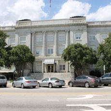
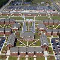
The county is home to several universities and colleges that shape intellectual life across the region. These institutions draw students and researchers, influencing how communities here look and function.

The county has a network of public libraries with multiple locations providing resources for visitors and residents. Various communities are easy to reach, and there are multiple ways to explore the area.

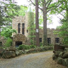
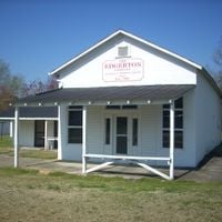
The area has grown into an important economic center for arts and creativity, with local organizations supporting regional work. This cultural activity shapes the daily character of several communities within the county.

Location: North Carolina

Inception: 1754

Capital city: Fayetteville

Shares border with: Harnett County, Sampson County, Bladen County, Robeson County, Hoke County, Moore County

Website: http://co.cumberland.nc.us

GPS coordinates: 35.05000,-78.83000

Latest update: December 17, 2025 08:51

Photos
Around this place
Fayetteville Ballpark
United States of America

Fayetteville Ballpark

4.9 km
Market House
United States of America

Market House

4.4 km
Airborne & Special Operations Museum
United States of America

Airborne & Special Operations Museum

5.2 km
Carvers Creek State Park
United States of America

Carvers Creek State Park

15.7 km
The Special Warfare Memorial Statue
United States of America

The Special Warfare Memorial Statue

17.1 km
82nd Airborne Division War Memorial Museum
United States of America

82nd Airborne Division War Memorial Museum

18.3 km
Edgar Allan Poe House
United States of America

Edgar Allan Poe House

4.6 km
Heritage Square
United States of America

Heritage Square

4.4 km
Airborne & Special Operations Museum Foundation
United States of America

Airborne & Special Operations Museum Foundation

5.1 km
United States of America

Hope Mills Lake

13.5 km
Ellerslie
United States of America

Ellerslie

20.5 km
Cape Fear Botanical Garden
United States of America

Cape Fear Botanical Garden

2.7 km
Falcon Tabernacle
United States of America

Falcon Tabernacle

23 km
Prince Charles Hotel
United States of America

Prince Charles Hotel

4.9 km
United States of America

Museum of the Cape Fear Historical Complex

5.7 km
Confederate Breastworks
United States of America

Confederate Breastworks

6 km
Gimghoul Neighborhood Historic District
United States of America

Gimghoul Neighborhood Historic District

24.5 km
United States of America

Oak Grove

25.6 km
Fayetteville Downtown Historic District
United States of America

Fayetteville Downtown Historic District

4.4 km
Haymount District
United States of America

Haymount District

5.5 km
Cumberland County Courthouse
United States of America

Cumberland County Courthouse

4.5 km
St. John's Episcopal Church
United States of America

St. John's Episcopal Church

4.3 km
Seventy-First Classical Middle School
United States of America

Seventy-First Classical Middle School

16 km
Cool Spring Place
United States of America

Cool Spring Place

4.1 km
United States of America

Averasboro Battlefield Historic District

27.3 km
United States of America

Lebanon

27.4 km
Camp Ground Methodist Church
United States of America

Camp Ground Methodist Church

13.2 km
M & O Chevrolet Company
United States of America

M & O Chevrolet Company

5 km
Show the full map
Reviews

Visited this place? Tap the stars to rate it and share your experience / photos with the community! Try now! You can cancel it anytime.

« Cumberland County - County administrative division in North Carolina, United States » is provided by Around Us (aroundus.com). Images and texts are derived from Wikimedia project under a Creative Commons license. You are allowed to copy, distribute, and modify copies of this page, under the conditions set by the license, as long as this note is clearly visible.

Discover hidden gems everywhere you go!

From secret cafés to breathtaking viewpoints, skip the crowded tourist spots and find places that match your style. Our app makes it easy with voice search, smart filtering, route optimization, and insider tips from travelers worldwide. Download now for the complete mobile experience.

Around Us App Screenshot

A unique approach to discovering new places

Le Figaro

All the places worth exploring

France Info

A tailor-made excursion in just a few clicks

20 Minutes