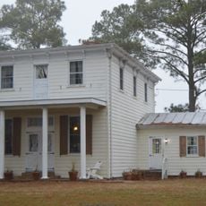
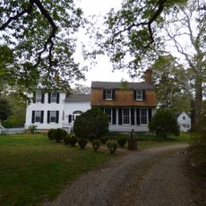
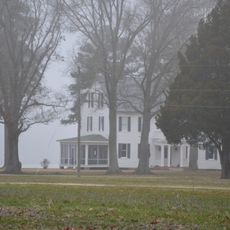
Mathews County, Administrative division in Virginia, United States.
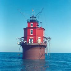
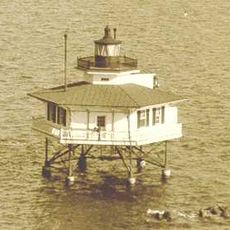
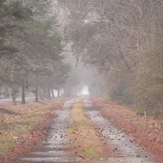
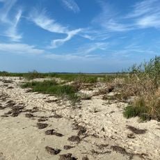
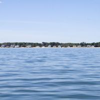
Mathews County is an administrative area along the Chesapeake Bay coast in Virginia, carved by multiple rivers and inlets that form an intricate waterway network. The territory appears as an open, water-threaded landscape where channels, creeks, and marinas shape both the physical structure and the way people move through the land.
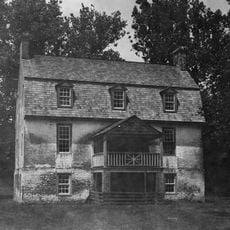
The county was established in 1791 and named after Thomas Mathews, an early settler of the region. Its strategic position on the Chesapeake Bay made it an important location during the American Revolutionary War and the War of 1812, when military activity and local defense shaped the territory.
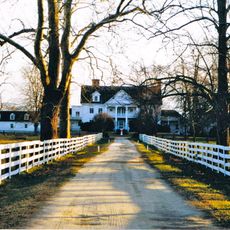
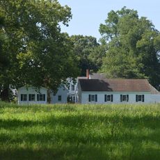
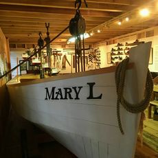
Local residents maintain strong ties to fishing and oyster farming traditions that remain central to their identity today. Visitors can experience these customs firsthand at farmers' markets and craft fairs that celebrate traditional skills and maritime knowledge.
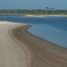
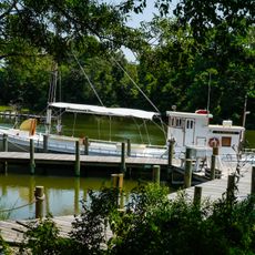
The area is accessible year-round, though spring and fall offer ideal conditions with comfortable temperatures and stable weather for exploration. Getting oriented by water routes is helpful: most access points to activities are land-based, but the marinas are well-marked and provide basic amenities for visitors.
The area features a network of water trails that directly connect multiple marinas, allowing paddlers to navigate the entire Chesapeake Bay network without leaving the water. This seamless water connectivity is rare in the region and draws water sports enthusiasts from across the wider area.
The community of curious travelers
AroundUs brings together thousands of curated places, local tips, and hidden gems, enriched daily by 60,000 contributors worldwide.