Crawford County, Administrative county in Northern Michigan, United States.
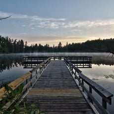
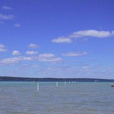
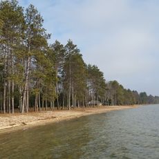
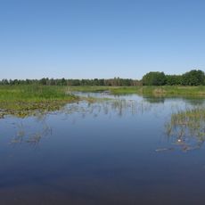
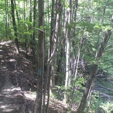
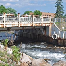
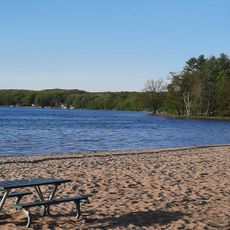
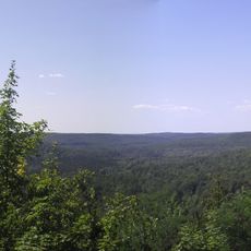
Crawford County is an administrative division in Northern Michigan covering forested land, rivers, and lakes throughout much of the Lower Peninsula. Rivers like the Au Sable and Manistee flow through the region, creating a landscape shaped by water and woodland.
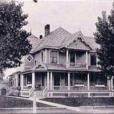
The area was originally named Shawono County but changed its name to Crawford County in 1843 to honor Colonel William Crawford, an officer from the Revolutionary War. This renaming reflected the political ties of early settlers to American history.
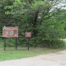
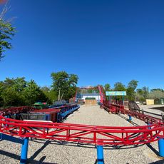
The county maintains multiple outdoor recreation sites along the Au Sable, Manistee, and Muskegon rivers for fishing and water activities.
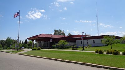
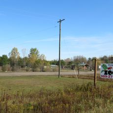
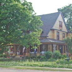
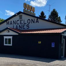
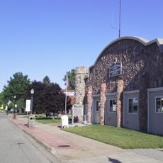
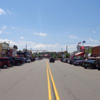
Much of the county is accessible for outdoor activities like fishing and paddling on the various rivers and waterways. Most services and amenities are centered around Grayling, the main community in the county.
Camp Grayling, one of the nation's largest National Guard training facilities, sits within the county and shapes much of its character and economy. The military presence has defined the region for decades and continues to influence daily life.
Location: Michigan
Inception: 1840
Capital city: Grayling
Shares border with: Otsego County, Montmorency County, Oscoda County, Ogemaw County, Roscommon County, Missaukee County, Kalkaska County, Antrim County
Website: http://crawfordco.org
GPS coordinates: 44.68000,-84.61000
Latest update: December 8, 2025 13:41
Hartwick Pines State Park
8.8 km
South Higgins Lake State Park
28.7 km
North Higgins Lake State Park
21.9 km
St. Mary, Our Lady of Mount Carmel Cathedral
39.8 km
Dead Stream Flooding State Wildlife Management Area
38.3 km
Jordan River Pathway
48.1 km
Roscommon Zoo
21.3 km
Houghton Lake Flats Flooding State Wildlife Management Area
37.8 km
Eggleston School
54.8 km
Edward E. Hartwick Memorial Building
7.6 km
Douglas House
16.9 km
Oscoda County Courthouse
38.2 km
Frank A. and Rae E. Harris Kramer House
39.3 km
Call of the Wild Museum
38.2 km
Ogemaw Hills Pathway
47.7 km
M-72–Au Sable River Bridge
8.4 km
Main Beach
28.8 km
James A. and Lottie J.
39.1 km
The Chief Golf Course
54.9 km
Shanty Creek Resorts - Summit Mountain
54.4 km
Hi-Skore Lanes & Bar
54.5 km
Mancelona Lanes
43.2 km
Wild Frontier Fun Park
47.6 km
CoopersVille USA
21.2 km
Twin Birch Golf Course
43.1 km
Mancelona Township Library
43.5 km
Deadmans Hill
48.3 km
Mancelona Township Hall
43.5 kmVisited this place? Tap the stars to rate it and share your experience / photos with the community! Try now! You can cancel it anytime.
Discover hidden gems everywhere you go!
From secret cafés to breathtaking viewpoints, skip the crowded tourist spots and find places that match your style. Our app makes it easy with voice search, smart filtering, route optimization, and insider tips from travelers worldwide. Download now for the complete mobile experience.
A unique approach to discovering new places❞
— Le Figaro
All the places worth exploring❞
— France Info
A tailor-made excursion in just a few clicks❞
— 20 Minutes