Henrico County

Log in to your account

AroundUs is a community-driven map of interesting places, built by curious explorers like you. It grows with every review, story, and photo you share.
Connect to save your favorite spots, contribute locations, and create personalized routes.
Continue with Google
Continue with Apple
Continue with X
Continue with Facebook
Continue with email
By continuing, you accept our Terms and Conditions and our Privacy Policy
Create an account
Add to collection
Map
Suggest a change
Share

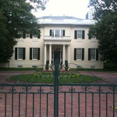
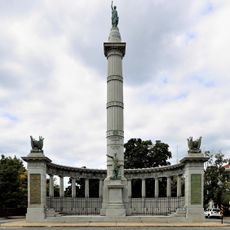
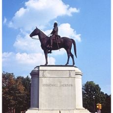
Henrico County, Administrative county in Virginia, United States

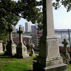
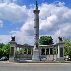
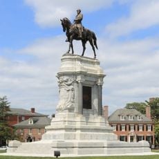
Henrico County is an administrative area in Virginia that wraps around the state capital Richmond on three sides. The territory extends from the James River to the northern suburbs and includes both urban neighborhoods and rural areas.

The area was established in 1634 as one of Virginia's eight original administrative divisions. The geographic relationship with the capital city Richmond took shape in 1842, when the city officially separated from the surrounding territory.

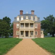
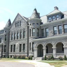
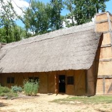
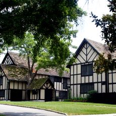
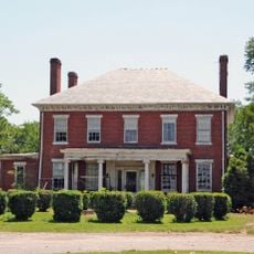
The county's name comes from the early settlement of Henricus, founded in 1611 along the James River. Today, residents organize their lives around several community centers spread across the area, each with its own shops, parks, and gathering places.

Visitors can reach different parts of the county via Interstate 64, which runs east to west, and Interstate 95, which runs north to south. Richmond International Airport sits in the eastern portion and offers regular connections to major cities.

The unusual border wrapping around Richmond came about when the city chose to split off from the surrounding county in 1842. This separation means both areas now maintain their own administrations, schools, and public services.

Location: Virginia

Inception: 1634

Capital city: Laurel

Shares border with: Hanover County, Richmond, Charles City County, New Kent County, Chesterfield County, Powhatan County, Goochland County

Website: http://henrico.us

GPS coordinates: 37.55000,-77.40000

Latest update: December 12, 2025 23:31

Photos
Around this place
Virginia State Capitol
United States of America

Virginia State Capitol

3.2 km
Hollywood Cemetery
United States of America

Hollywood Cemetery

5.4 km
Shirley Plantation
United States of America

Shirley Plantation

25.6 km
Monument Avenue
United States of America

Monument Avenue

5.3 km
Virginia Union University
United States of America

Virginia Union University

4.7 km
Richmond Raceway
United States of America

Richmond Raceway

5 km
Robert E. Lee Monument
United States of America

Robert E. Lee Monument

5.3 km
White House of the Confederacy
United States of America

White House of the Confederacy

2.8 km
Belle Isle
United States of America

Belle Isle

5.3 km
Virginia Museum of Fine Arts
United States of America

Virginia Museum of Fine Arts

6.6 km
Henricus
United States of America

Henricus

19.9 km
Governor’s Mansion
United States of America

Governor’s Mansion

3.1 km
Maymont Park
United States of America

Maymont Park

7.1 km
Jefferson Davis Monument
United States of America

Jefferson Davis Monument

6.1 km
Stonewall Jackson Statue
United States of America

Stonewall Jackson Statue

6.4 km
Lumpkin's jail
United States of America

Lumpkin's jail

2.9 km
James River and Kanawha Canal
United States of America

James River and Kanawha Canal

3.4 km
St. John's Episcopal Church
United States of America

St. John's Episcopal Church

2.7 km
Jefferson Hotel
United States of America

Jefferson Hotel

4.1 km
Maggie L. Walker Governor's School for Government and International Studies
United States of America

Maggie L. Walker Governor's School for Government and International Studies

4.8 km
Agecroft Hall
United States of America

Agecroft Hall

9.4 km
General J E B Stuart Statue
United States of America

General J E B Stuart Statue

5.1 km
Varina Farms
United States of America

Varina Farms

19.6 km
City Stadium
United States of America

City Stadium

7.7 km
Edgar Allan Poe Museum
United States of America

Edgar Allan Poe Museum

3 km
George Washington
United States of America

George Washington

3.2 km
Pocahontas State Park
United States of America

Pocahontas State Park

24.7 km
Tuckahoe
United States of America

Tuckahoe

22.5 km
Show the full map
Reviews

Visited this place? Tap the stars to rate it and share your experience / photos with the community! Try now! You can cancel it anytime.

Administrative divisions
« Henrico County - Administrative county in Virginia, United States » is provided by Around Us (aroundus.com). Images and texts are derived from Wikimedia project under a Creative Commons license. You are allowed to copy, distribute, and modify copies of this page, under the conditions set by the license, as long as this note is clearly visible.

Discover hidden gems everywhere you go!

From secret cafés to breathtaking viewpoints, skip the crowded tourist spots and find places that match your style. Our app makes it easy with voice search, smart filtering, route optimization, and insider tips from travelers worldwide. Download now for the complete mobile experience.

Around Us App Screenshot

A unique approach to discovering new places

Le Figaro

All the places worth exploring

France Info

A tailor-made excursion in just a few clicks

20 Minutes