Enable Location

We need your location to show you interesting places around you

Discover nearby places

Find interesting locations and hidden gems around you

Precise directions

Get accurate directions and distances to places

Your location is never shared with other users. It's only used when you tap the location button.

McPherson County

Log in to your account

Start exploring — it's free

Trusted by 61,814 travelers worldwide

Continue with Google
Continue with Apple
or

We will send you a code to connect

By continuing, you accept our Terms and Conditions and our Privacy Policy

Check your inbox

We've sent a pincode in your inbox. Please enter the code below.

McPherson County, County in central Nebraska, United States

Description

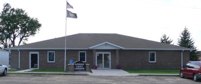
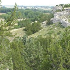
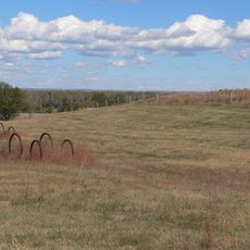
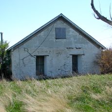
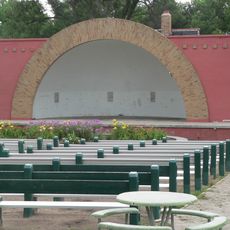
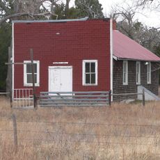
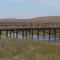
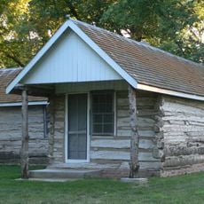
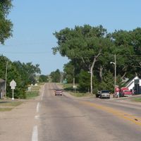
McPherson County is an administrative division in central Nebraska characterized by rolling terrain and open grasslands interspersed with small rural communities. The landscape consists primarily of pastureland and agricultural areas, with Tryon serving as the county seat.

History

The county was established in 1890 from territory previously part of Logan County and was named after Civil War General James B. McPherson. Its founding marked the creation of administrative structures centered in Tryon.

Culture

The county maintains strong agricultural traditions with local ranchers managing over 41,000 cattle across extensive grasslands and participating in monthly community meetings.

Practical

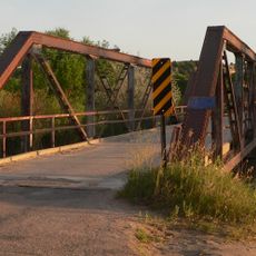
The area operates in the Central Time Zone and can be explored by car or on foot, though distances between communities are considerable. Visitors should prepare for rural conditions and allow ample time for travel between locations.

Did you know?

McPherson County ranks as Nebraska's least populated county, with 399 residents recorded in 2020, resulting in a density of 0.5 people per square mile.

Location
Inception
1887
Capital city
Tryon
Shares border with
Hooker County, Thomas County, Logan County, Lincoln County, Keith County, Arthur County
GPS coordinates
41.57000,-101.06000
Latest update
December 10, 2025 15:56

AroundUs brings together thousands of curated places, local tips, and hidden gems, enriched daily by 60,000 contributors worldwide. Discover all places nearby (Nebraska).

Around this place
Lake McConaughy
United States of America

Lake McConaughy

66.9 km
Ash Hollow State Historical Park
United States of America

Ash Hollow State Historical Park

93.5 km
Buffalo Bill Ranch
United States of America

Buffalo Bill Ranch

50.4 km
Fort McPherson
United States of America

Fort McPherson

76.5 km
Fort McPherson National Cemetery
United States of America

Fort McPherson National Cemetery

75.3 km
Pilgrim Holiness Church
United States of America

Pilgrim Holiness Church

52.3 km
First Arthur County Courthouse and Jail
United States of America

First Arthur County Courthouse and Jail

52.5 km
O'Fallons Bluff
United States of America

O'Fallons Bluff

48.4 km
Wallace W. Waterman Sod House
United States of America

Wallace W. Waterman Sod House

94.7 km
St. Anselm's Catholic Church, Rectory and Parish Hall
United States of America

St. Anselm's Catholic Church, Rectory and Parish Hall

99.5 km
Golden Spike Tower and Visitor Center
United States of America

Golden Spike Tower and Visitor Center

51.1 km
Grant City Park
United States of America

Grant City Park

97.7 km
Rackett Grange Hall No. 318
United States of America

Rackett Grange Hall No. 318

95.9 km
Lewellen State Aid Bridge
United States of America

Lewellen State Aid Bridge

94.6 km
Twin Bridge
United States of America

Twin Bridge

88.5 km
Neville Center for the Performing Arts
United States of America

Neville Center for the Performing Arts

54.3 km
Leonidas A. Brandhoefer Mansion
United States of America

Leonidas A. Brandhoefer Mansion

73.5 km
Grant Commercial Historic District
United States of America

Grant Commercial Historic District

98.4 km
Hooker County Courthouse
United States of America

Hooker County Courthouse

52.6 km
Lincoln County Courthouse
United States of America

Lincoln County Courthouse

54.3 km
Perkins County Courthouse
United States of America

Perkins County Courthouse

98.5 km
Dr. Burdette and Myrna Gainsforth House
United States of America

Dr. Burdette and Myrna Gainsforth House

73.2 km
Johnston Memorial Building
United States of America

Johnston Memorial Building

81.8 km
Custer County Courthouse
United States of America

Custer County Courthouse

99.8 km
Sutherland State Aid Bridge
United States of America

Sutherland State Aid Bridge

40.3 km
Diamond Springs Stage Station Site
United States of America

Diamond Springs Stage Station Site

89.3 km
Union Pacific 3977
United States of America

Union Pacific 3977

53.5 km
Union Pacific 6922
United States of America

Union Pacific 6922

53.6 km
Show the full map
Administrative divisions
« McPherson County - County in central Nebraska, United States » is provided by Around Us (aroundus.com). Images and texts are derived from Wikimedia project under a Creative Commons license. You are allowed to copy, distribute, and modify copies of this page, under the conditions set by the license, as long as this note is clearly visible.

Discover hidden gems everywhere you go!

From secret cafés to breathtaking viewpoints, skip the crowded tourist spots and find places that match your style. Our app makes it easy with voice search, smart filtering, route optimization, and insider tips from travelers worldwide. Download now for the complete mobile experience.

Around Us App Screenshot

A unique approach to discovering new places

Le Figaro

All the places worth exploring

France Info

A tailor-made excursion in just a few clicks

20 Minutes

Around Us
Travel Guide & Maps
Download

Send to your phone

QR Code
1

Open the camera app on your mobile.

2

Point at the QR code with your camera. A notification will appear.

3

Tap the notification to open the link.