Enable Location

We need your location to show you interesting places around you

Discover nearby places

Find interesting locations and hidden gems around you

Precise directions

Get accurate directions and distances to places

Your location is never shared with other users. It's only used when you tap the location button.

Estill County

Log in to your account

Start exploring — it's free

Trusted by 61,685 travelers worldwide

Continue with Google
Continue with Apple
or

We will send you a code to connect

By continuing, you accept our Terms and Conditions and our Privacy Policy

Check your inbox

We've sent a pincode in your inbox. Please enter the code below.

Estill County, County administration in Kentucky, United States.

Description

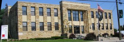
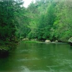
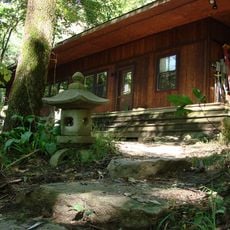
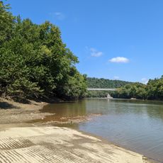
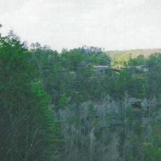
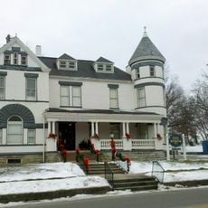
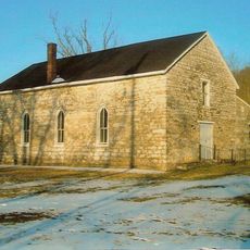
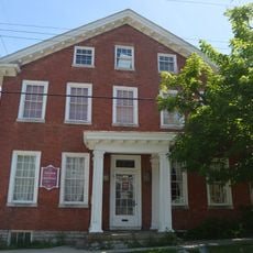
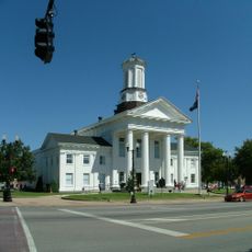
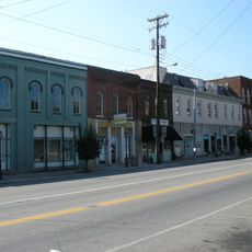
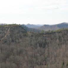
Estill County occupies eastern Kentucky with the Kentucky River running through its center, creating a landscape of rolling hills and forested terrain. The county seat of Irvine serves as the administrative hub for the area.

History

The county was established in 1808 and named after Captain James Estill, who died during the Battle of Little Mountain in the American Revolution. This founding marked the formal organization of the eastern Kentucky frontier.

Culture

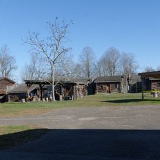
The Mountain Mushroom Festival held in Irvine each April celebrates morel mushrooms that grow wild throughout the region and have long been part of local food traditions. Visitors can observe how the community gathers to honor this harvest.

Practical

The terrain is hilly, making road travel the most practical way to explore the county from the west. The town of Irvine provides basic services and offers a good starting point for visiting the region.

Did you know?

The Fitchburg Furnace, standing 81 feet (25 meters) tall, ranks among the world's largest dry-stone masonry structures built without mortar. This industrial ruin shows the mining and smelting operations that once shaped the local economy.

Location
Inception
January 27, 1808
Capital city
Irvine
Shares border with
Powell County, Lee County, Jackson County, Madison County, Clark County
GPS coordinates
37.69000,-83.96000
Latest update
December 7, 2025 20:22

AroundUs brings together thousands of curated places, local tips, and hidden gems, enriched daily by 60,000 contributors worldwide. Discover all places nearby (Kentucky).

Around this place
Red River Gorge
United States of America

Red River Gorge

34.9 km
Fort Boonesborough State Park
United States of America

Fort Boonesborough State Park

35.8 km
Roy Kidd Stadium
United States of America

Roy Kidd Stadium

30.1 km
United States of America

Pilot Knob State Nature Preserve

24.7 km
Furnace Mountain
United States of America

Furnace Mountain

13.6 km
Goshen Primitive Baptist Church
United States of America

Goshen Primitive Baptist Church

37.9 km
Fort Boonesborough State Park
United States of America

Fort Boonesborough State Park

35.4 km
Clifty Wilderness
United States of America

Clifty Wilderness

38.1 km
Bluegrass Heritage Museum
United States of America

Bluegrass Heritage Museum

38.5 km
Old Providence Church
United States of America

Old Providence Church

37.3 km
Mt. Zion Christian Church
United States of America

Mt. Zion Christian Church

26 km
Lincoln Hall, Berea College
United States of America

Lincoln Hall, Berea College

31.6 km
William Hickman House
United States of America

William Hickman House

38.7 km
Ravenna Motor Vehicle Service Building
United States of America

Ravenna Motor Vehicle Service Building

905 m
Madison County Courthouse
United States of America

Madison County Courthouse

29.2 km
St. Thomas Episcopal Church
United States of America

St. Thomas Episcopal Church

25.5 km
Blythewood
United States of America

Blythewood

32 km
William L. Hurst Law Office
United States of America

William L. Hurst Law Office

36.6 km
St. Therese Catholic Church
United States of America

St. Therese Catholic Church

19 km
Corinth Christian Methodist Episcopal Church
United States of America

Corinth Christian Methodist Episcopal Church

35.4 km
Irvine Historic Business District
United States of America

Irvine Historic Business District

1.7 km
Irvine Grade School
United States of America

Irvine Grade School

1.2 km
Bybee House
United States of America

Bybee House

31.9 km
Beattyville Grade School
United States of America

Beattyville Grade School

26 km
Clay City National Bank Building
United States of America

Clay City National Bank Building

19.3 km
Downtown Richmond Historic District
United States of America

Downtown Richmond Historic District

30.2 km
Natural Bridge State Resort Park
United States of America

Natural Bridge State Resort Park

25.4 km
Double Arch
United States of America

Double Arch

29.3 km
Show the full map
« Estill County - County administration in Kentucky, United States » is provided by Around Us (aroundus.com). Images and texts are derived from Wikimedia project under a Creative Commons license. You are allowed to copy, distribute, and modify copies of this page, under the conditions set by the license, as long as this note is clearly visible.

Discover hidden gems everywhere you go!

From secret cafés to breathtaking viewpoints, skip the crowded tourist spots and find places that match your style. Our app makes it easy with voice search, smart filtering, route optimization, and insider tips from travelers worldwide. Download now for the complete mobile experience.

Around Us App Screenshot

A unique approach to discovering new places

Le Figaro

All the places worth exploring

France Info

A tailor-made excursion in just a few clicks

20 Minutes

Around Us
Travel Guide & Maps
Download

Send to your phone

QR Code
1

Open the camera app on your mobile.

2

Point at the QR code with your camera. A notification will appear.

3

Tap the notification to open the link.