Enable Location

We need your location to show you interesting places around you

Discover nearby places

Find interesting locations and hidden gems around you

Precise directions

Get accurate directions and distances to places

Your location is never shared with other users. It's only used when you tap the location button.

Grant County

Log in to your account

Start exploring — it's free

Trusted by 61,900 travelers worldwide

Continue with Google
Continue with Apple
or

We will send you a code to connect

By continuing, you accept our Terms and Conditions and our Privacy Policy

Check your inbox

We've sent a pincode in your inbox. Please enter the code below.

Grant County, County in Minnesota, United States

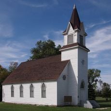
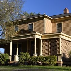
Grant County is an administrative division in western Minnesota with rolling terrain, farmland, and scattered lakes throughout the area. The county spans several towns and agricultural communities organized into seven incorporated cities.

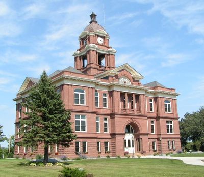
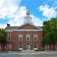
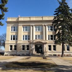
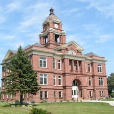
The county was established in 1868 and named after General Ulysses S. Grant, a major military and political figure of the era. Its formal governmental structure was organized in 1874 with Elbow Lake serving as the county seat.

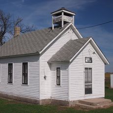
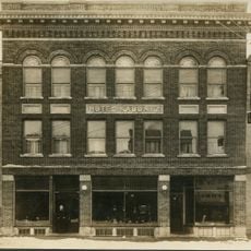
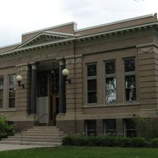
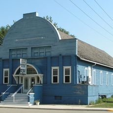
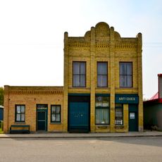
The county maintains seven incorporated cities, including Ashby, Barrett, and Herman, each contributing to the local agricultural and community traditions.

Interstate highways and state roads connect the area to neighboring regions, making travel between communities straightforward. Local government offices provide standard services and information for residents and visitors.

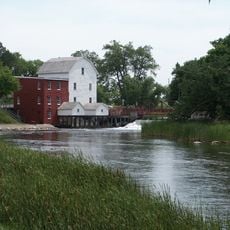
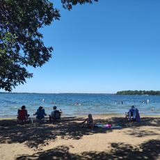
Two major rivers define the watershed system across the area, with the Chippewa River flowing through the eastern section and the Mustinka River crossing the western portion. This dual river system creates distinct hydrological patterns throughout the region.

The community of curious travelers

AroundUs brings together thousands of curated places, local tips, and hidden gems, enriched daily by 60,000 contributors worldwide.

Start exploring
Location
Inception
March 6, 1868
Capital city
Elbow Lake
Shares border with
Otter Tail County, Stevens County, Wilkin County, Traverse County, Douglas County, Pope County
GPS coordinates
45.93000,-96.01000
Latest update
December 10, 2025 15:57
Around this place
Kensington Runestone
United States of America

Kensington Runestone

29.3 km
Fergus Falls Regional Treatment Center
United States of America

Fergus Falls Regional Treatment Center

41.5 km
Inspiration Peak
United States of America

Inspiration Peak

40.8 km
Glendalough State Park
United States of America

Glendalough State Park

52.1 km
Lake Carlos State Park
United States of America

Lake Carlos State Park

52.7 km
Phelps Mill
United States of America

Phelps Mill

52.2 km
Park Region Luther College
United States of America

Park Region Luther College

39.2 km
Prospect House
United States of America

Prospect House

45.7 km
Tenney Fire Hall
United States of America

Tenney Fire Hall

36.6 km
Stiklestad United Lutheran Church
United States of America

Stiklestad United Lutheran Church

41.4 km
Fergus Falls City Hall
United States of America

Fergus Falls City Hall

39.5 km
District No. 44 School
United States of America

District No. 44 School

38.2 km
Otter Tail County Courthouse
United States of America

Otter Tail County Courthouse

39.3 km
Grant County Courthouse
United States of America

Grant County Courthouse

7.7 km
River Inn
United States of America

River Inn

39.5 km
C.C. Clement House
United States of America

C.C. Clement House

40.2 km
C.J. Wright House
United States of America

C.J. Wright House

40.1 km
Hotel Kaddatz
United States of America

Hotel Kaddatz

39.6 km
Lewis H. Stanton House
United States of America

Lewis H. Stanton House

38.7 km
Morris Carnegie Library
United States of America

Morris Carnegie Library

39 km
Roosevelt Hall
United States of America

Roosevelt Hall

9.7 km
Alberta Teachers House
United States of America

Alberta Teachers House

39.5 km
District No. 182 School
United States of America

District No. 182 School

50.1 km
Elizabeth Village Hall and Jail
United States of America

Elizabeth Village Hall and Jail

50.9 km
Casey's Amusement Park
United States of America

Casey's Amusement Park

50 km
John W. Mason House
United States of America

John W. Mason House

39.1 km
Lake Le Homme Dieu Beach
United States of America

Lake Le Homme Dieu Beach

52.4 km
Inspiration Peak State Wayside Park
United States of America

Inspiration Peak State Wayside Park

40.6 km
Show the full map
« Grant County - County in Minnesota, United States » is provided by Around Us (aroundus.com). Images and texts are derived from Wikimedia project under a Creative Commons license. You are allowed to copy, distribute, and modify copies of this page, under the conditions set by the license, as long as this note is clearly visible.

Discover hidden gems everywhere you go!

From secret cafés to breathtaking viewpoints, skip the crowded tourist spots and find places that match your style. Our app makes it easy with voice search, smart filtering, route optimization, and insider tips from travelers worldwide. Download now for the complete mobile experience.

Around Us App Screenshot

A unique approach to discovering new places

Le Figaro

All the places worth exploring

France Info

A tailor-made excursion in just a few clicks

20 Minutes

Around Us
Travel Guide & Maps
Download

Send to your phone

QR Code
1

Open the camera app on your mobile.

2

Point at the QR code with your camera. A notification will appear.

3

Tap the notification to open the link.