Rock Island County

Log in to your account

AroundUs is a community-driven map of interesting places, built by curious explorers like you. It grows with every review, story, and photo you share.
Connect to save your favorite spots, contribute locations, and create personalized routes.
Continue with Google
Continue with Apple
Continue with X
Continue with Facebook
Continue with email
By continuing, you accept our Terms and Conditions and our Privacy Policy
Create an account
Add to collection
Map
Suggest a change
Share

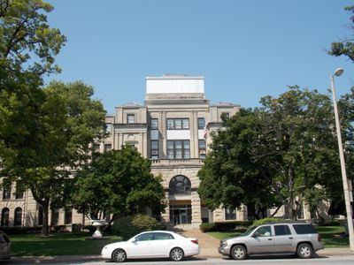
Rock Island County, County administrative division at Mississippi River, Illinois, US.

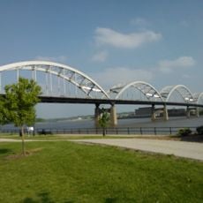
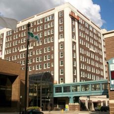
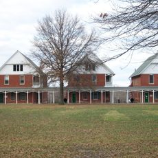
Rock Island County is an administrative division in western Illinois bordered by the Mississippi River and containing the cities of Rock Island and Moline. The county spans rolling terrain with river bottomlands and supports several smaller communities across its landscape.

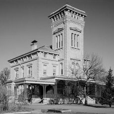
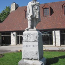
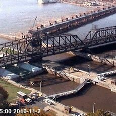
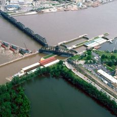
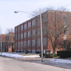
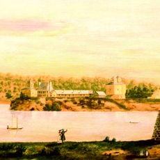
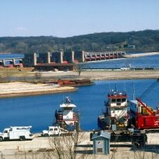
The county was established in 1831 when it was separated from Jo Daviess County and took its name from an island in the Mississippi River that became known as Arsenal Island. Military manufacturing grew into a major economic force during the 1800s and shaped regional development.

The military arsenal on the island shaped how local communities developed and provided steady work for generations of families. This industrial heritage remains visible in how people use the waterfront and in the character of the nearby towns.

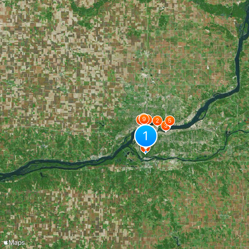
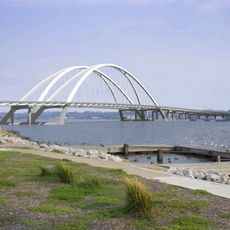
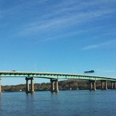
Three interstate highways cross the area, making it easy to reach from other parts of the region, and offering connections to major cities in the Midwest. The Mississippi River serves as a natural landmark that helps with orientation when exploring the county.

The county has maintained a consistent Democratic voting pattern since the 1930s, a notable shift from its earlier Republican leanings that set it apart from many other regions of the state. This political continuity offers insight into how economic and industrial changes influenced local voting habits over time.

Location: Illinois

Inception: 1831

Capital city: Rock Island

Shares border with: Clinton County, Mercer County, Muscatine County, Henry County, Whiteside County, Scott County, Louisa County

Website: http://co.rock-island.il.us

GPS coordinates: 41.47000,-90.57000

Latest update: December 20, 2025 15:53

Photos
Around this place
Rock Island Arsenal
United States of America

Rock Island Arsenal

5.7 km
Vibrant Arena at The MARK
United States of America

Vibrant Arena at The MARK

5.9 km
Modern Woodmen Park
United States of America

Modern Woodmen Park

5.5 km
I-74 Bridge
United States of America

I-74 Bridge

7.2 km
Black Hawk State Historic Site
United States of America

Black Hawk State Historic Site

390 m
Government Bridge
United States of America

Government Bridge

5.5 km
Figge Art Museum
United States of America

Figge Art Museum

5.7 km
Davenport Skybridge
United States of America

Davenport Skybridge

5.6 km
Lock and Dam No. 15
United States of America

Lock and Dam No. 15

5.4 km
Rock Island Centennial Bridge
United States of America

Rock Island Centennial Bridge

5.1 km
John Deere House
United States of America

John Deere House

5.5 km
St. Luke's Hospital
United States of America

St. Luke's Hospital

6.4 km
Blackhawk Hotel
United States of America

Blackhawk Hotel

5.9 km
Niabi Zoo
United States of America

Niabi Zoo

11.8 km
Iowa Soldiers' Orphans' Home
United States of America

Iowa Soldiers' Orphans' Home

9 km
Marycrest College Historic District
United States of America

Marycrest College Historic District

6.9 km
Putnam Museum
United States of America

Putnam Museum

7.3 km
Fort Armstrong
United States of America

Fort Armstrong

5.2 km
United States of America

Wacky Waters Adventure Park

15.7 km
Fred Schwengel Memorial Bridge
United States of America

Fred Schwengel Memorial Bridge

21 km
Wildcat Den State Park
United States of America

Wildcat Den State Park

26 km
United States of America

TPC Deere Run

14.9 km
Joseph F. Bettendorf House
United States of America

Joseph F. Bettendorf House

8.4 km
Lock and Dam No. 14
United States of America

Lock and Dam No. 14

18.3 km
John Deere Pavilion
United States of America

John Deere Pavilion

6 km
Rock Island National Cemetery
United States of America

Rock Island National Cemetery

6 km
Vander Veer Botanical Park
United States of America

Vander Veer Botanical Park

8.2 km
United States of America

River Music Experience

5.7 km
Show the full map
Reviews

Visited this place? Tap the stars to rate it and share your experience / photos with the community! Try now! You can cancel it anytime.

Administrative divisions
« Rock Island County - County administrative division at Mississippi River, Illinois, US » is provided by Around Us (aroundus.com). Images and texts are derived from Wikimedia project under a Creative Commons license. You are allowed to copy, distribute, and modify copies of this page, under the conditions set by the license, as long as this note is clearly visible.

Discover hidden gems everywhere you go!

From secret cafés to breathtaking viewpoints, skip the crowded tourist spots and find places that match your style. Our app makes it easy with voice search, smart filtering, route optimization, and insider tips from travelers worldwide. Download now for the complete mobile experience.

Around Us App Screenshot

A unique approach to discovering new places

Le Figaro

All the places worth exploring

France Info

A tailor-made excursion in just a few clicks

20 Minutes