Mason County

Log in to your account

AroundUs is a community-driven map of interesting places, built by curious explorers like you. It grows with every review, story, and photo you share.
Connect to save your favorite spots, contribute locations, and create personalized routes.
Continue with Google
Continue with Apple
Continue with X
Continue with Facebook
Continue with email
By continuing, you accept our Terms and Conditions and our Privacy Policy
Create an account
Add to collection
Map
Suggest a change
Share

Mason County, Administrative county in central Illinois, United States

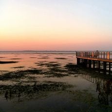
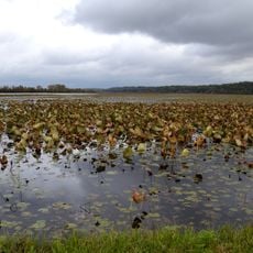
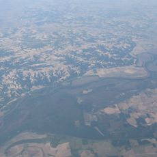
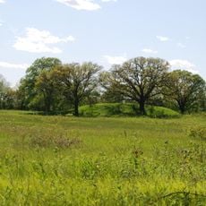
Mason County is an administrative county in central Illinois that extends along the Illinois River. The land features sandy soils formed during the last ice age and creates a distinctive landscape across the region.

The county was established in 1841 from parts of Tazewell and Menard counties. It was named after George Mason, a key figure who supported the Bill of Rights.

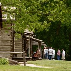
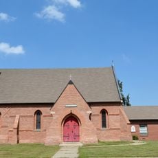
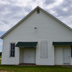
Residents trace their roots mainly to German immigrants, alongside English, Irish, and American ancestry that have shaped local customs. This heritage is visible in how the small towns and rural communities maintain their character.

Havana serves as the county seat and main hub for administrative services. The area is largely rural, so planning ahead and allowing time to travel between locations is helpful.

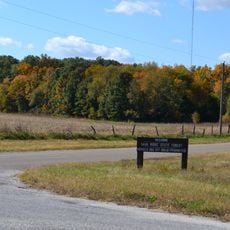
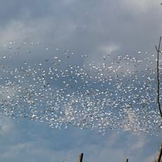
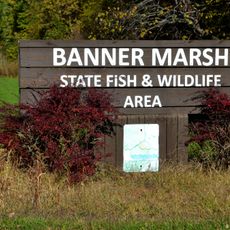
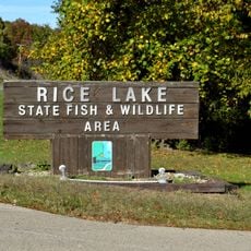
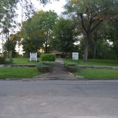
Sand Ridge State Forest, one of the state's largest forests, lies within the county and covers extensive woodland. This forest is an important natural area and recreational retreat for visitors.

Location: Illinois

Inception: 1841

Capital city: Havana

Shares border with: Fulton County, Tazewell County, Logan County, Menard County, Cass County, Schuyler County

Website: http://masoncountyil.org

GPS coordinates: 40.24000,-89.91000

Latest update: December 8, 2025 13:42

Photos
Around this place
Lincoln's New Salem
United States of America

Lincoln's New Salem

30.2 km
Dickson Mounds
United States of America

Dickson Mounds

21.4 km
Emiquon National Wildlife Refuge
United States of America

Emiquon National Wildlife Refuge

18.1 km
Sand Ridge State Forest
United States of America

Sand Ridge State Forest

19.4 km
Chautauqua National Wildlife Refuge
United States of America

Chautauqua National Wildlife Refuge

16.9 km
Spring Lake State Fish and Wildlife Area
United States of America

Spring Lake State Fish and Wildlife Area

26.6 km
Banner Marsh State Fish and Wildlife Area
United States of America

Banner Marsh State Fish and Wildlife Area

33.7 km
Sanganois State Fish and Wildlife Area
United States of America

Sanganois State Fish and Wildlife Area

38.8 km
Rice Lake State Fish and Wildlife Area
United States of America

Rice Lake State Fish and Wildlife Area

24.7 km
Rockwell Mound
United States of America

Rockwell Mound

14.2 km
Ogden-Fettie Site
United States of America

Ogden-Fettie Site

21 km
Ulysses G. Orendorff House
United States of America

Ulysses G. Orendorff House

36.9 km
Havana Water Tower
United States of America

Havana Water Tower

14.3 km
Canton Lake
United States of America

Canton Lake

36.4 km
Seville Bridge
United States of America

Seville Bridge

41.4 km
Starhill Forest Arboretum
United States of America

Starhill Forest Arboretum

35.2 km
North Sangamon United Presbyterian Church
United States of America

North Sangamon United Presbyterian Church

30.7 km
Buckeye Bridge
United States of America

Buckeye Bridge

41.6 km
Havana Public Library
United States of America

Havana Public Library

14.2 km
Parlin Library
United States of America

Parlin Library

36.9 km
Bernadotte Bridge
United States of America

Bernadotte Bridge

39.3 km
Robert Dilworth House
United States of America

Robert Dilworth House

43.7 km
Scott Wike Lucas Bridge
United States of America

Scott Wike Lucas Bridge

14.9 km
St. James Episcopal Church
United States of America

St. James Episcopal Church

27.1 km
East Waterford School
United States of America

East Waterford School

21.3 km
Daniel O'Connell House
United States of America

Daniel O'Connell House

44.3 km
South Fulton Churchhouse
United States of America

South Fulton Churchhouse

38.1 km
Metal Highway Bridges of Fulton County TR
United States of America

Metal Highway Bridges of Fulton County TR

41.6 km
Show the full map
Reviews

Visited this place? Tap the stars to rate it and share your experience / photos with the community! Try now! You can cancel it anytime.

« Mason County - Administrative county in central Illinois, United States » is provided by Around Us (aroundus.com). Images and texts are derived from Wikimedia project under a Creative Commons license. You are allowed to copy, distribute, and modify copies of this page, under the conditions set by the license, as long as this note is clearly visible.

Discover hidden gems everywhere you go!

From secret cafés to breathtaking viewpoints, skip the crowded tourist spots and find places that match your style. Our app makes it easy with voice search, smart filtering, route optimization, and insider tips from travelers worldwide. Download now for the complete mobile experience.

Around Us App Screenshot

A unique approach to discovering new places

Le Figaro

All the places worth exploring

France Info

A tailor-made excursion in just a few clicks

20 Minutes