Enable Location

We need your location to show you interesting places around you

Discover nearby places

Find interesting locations and hidden gems around you

Precise directions

Get accurate directions and distances to places

Your location is never shared with other users. It's only used when you tap the location button.

Loudon County

Log in to your account

Start exploring — it's free

Trusted by 60,648 travelers worldwide

Continue with Google
Continue with Apple
or

We will send you a code to connect

By continuing, you accept our Terms and Conditions and our Privacy Policy

Check your inbox

We've sent a pincode in your inbox. Please enter the code below.

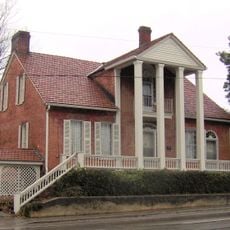
Loudon County, County in eastern Tennessee, US

Description

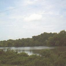
Loudon County lies in eastern Tennessee and is shaped by two major rivers: the Tennessee River and the Little Tennessee River converge within its borders. The county spans 247 square miles (640 square kilometers) and includes several municipalities and communities.

History

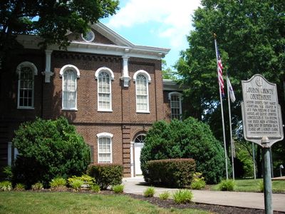
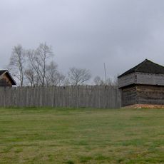
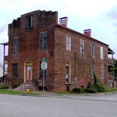
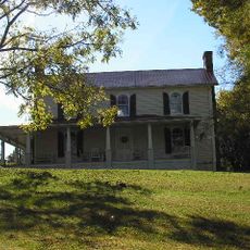
The county was established in 1870 from portions of Roane, Monroe, and Blount counties. It took its name from the nearby Fort Loudoun, a colonial-era military post.

Culture

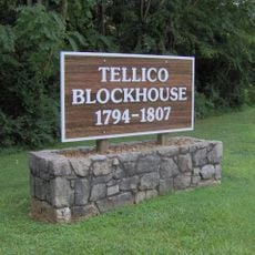
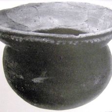
The Cherokee people shaped this region for centuries before European settlement arrived. The name Mialoquo marks their former settlement near what is now Tellico Village.

Practical

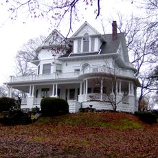
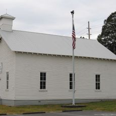
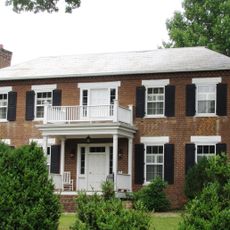
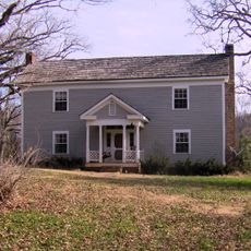
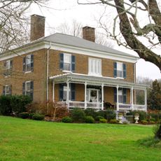
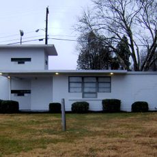
The county administration is based in the town of Loudon and serves all the municipalities and communities throughout the area. Visitors will find parks, river areas, and local businesses to explore across the region.

Did you know?

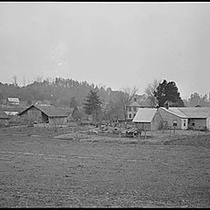
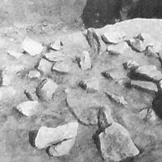
The remains of Morganton, a former river port settlement from early American times, now lie hidden beneath the waters of Tellico Lake. This vanished community stands as a quiet reminder of past settlement patterns in the region.

Location
Inception
1870
Capital city
Loudon
Shares border with
Knox County, Monroe County, Blount County, McMinn County, Roane County
GPS coordinates
35.73000,-84.31000
Latest update
December 7, 2025 19:22

AroundUs brings together thousands of curated places, local tips, and hidden gems, enriched daily by 60,000 contributors worldwide. Discover all places nearby (Tennessee).

Around this place
X-10 Graphite Reactor
United States of America

X-10 Graphite Reactor

22.1 km
Craighead Caverns
United States of America

Craighead Caverns

24.3 km
Manhattan Project National Historical Park
United States of America

Manhattan Project National Historical Park

24.1 km
United States of America

Spallation Neutron Source

24.6 km
Fort Loudoun
United States of America

Fort Loudoun

17.8 km
Tellico Blockhouse
United States of America

Tellico Blockhouse

17.4 km
Morganton, Tennessee
United States of America

Morganton, Tennessee

12.2 km
Bussell Island
United States of America

Bussell Island

7.4 km
Icehouse Bottom
United States of America

Icehouse Bottom

18.3 km
Fort Southwest Point
United States of America

Fort Southwest Point

24.6 km
George Jones Memorial Baptist Church
United States of America

George Jones Memorial Baptist Church

24 km
Cornstalk Heights
United States of America

Cornstalk Heights

31.2 km
Avery Russell House
United States of America

Avery Russell House

21.5 km
Blair's Ferry Storehouse
United States of America

Blair's Ferry Storehouse

2.4 km
United States of America

Fort Loudoun State Park

17.6 km
New Bethel Baptist Church
United States of America

New Bethel Baptist Church

22.7 km
Tamke-Allan Observatory
United States of America

Tamke-Allan Observatory

30 km
Roane County Courthouse
United States of America

Roane County Courthouse

24.4 km
Boyd-Harvey House
United States of America

Boyd-Harvey House

16.5 km
Craigs Chapel AME Zion Church
United States of America

Craigs Chapel AME Zion Church

15.3 km
William H. Griffitts House
United States of America

William H. Griffitts House

9.7 km
Col. Gideon Morgan House
United States of America

Col. Gideon Morgan House

24.5 km
Sequoyah Birthplace Museum
United States of America

Sequoyah Birthplace Museum

18.8 km
John M. Rorex House
United States of America

John M. Rorex House

20.2 km
Charles Vanden Bulck Bridge
United States of America

Charles Vanden Bulck Bridge

17.5 km
John McCroskey House
United States of America

John McCroskey House

14 km
Oak Ridge Turnpike Checking Station
United States of America

Oak Ridge Turnpike Checking Station

27.9 km
Fort Loudoun Lake
United States of America

Fort Loudoun Lake

9.2 km
Show the full map
Administrative divisions
« Loudon County - County in eastern Tennessee, US » is provided by Around Us (aroundus.com). Images and texts are derived from Wikimedia project under a Creative Commons license. You are allowed to copy, distribute, and modify copies of this page, under the conditions set by the license, as long as this note is clearly visible.

Discover hidden gems everywhere you go!

From secret cafés to breathtaking viewpoints, skip the crowded tourist spots and find places that match your style. Our app makes it easy with voice search, smart filtering, route optimization, and insider tips from travelers worldwide. Download now for the complete mobile experience.

Around Us App Screenshot

A unique approach to discovering new places

Le Figaro

All the places worth exploring

France Info

A tailor-made excursion in just a few clicks

20 Minutes

Around Us
Travel Guide & Maps
Download

Send to your phone

QR Code
1

Open the camera app on your mobile.

2

Point at the QR code with your camera. A notification will appear.

3

Tap the notification to open the link.