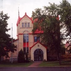
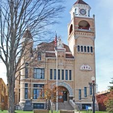
Florence County, Administrative county in northeastern Wisconsin, United States
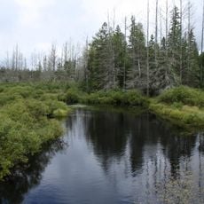
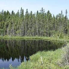
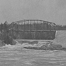
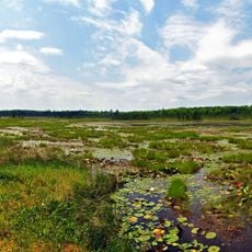
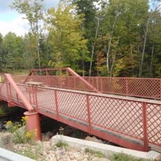
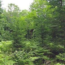
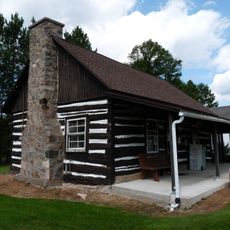
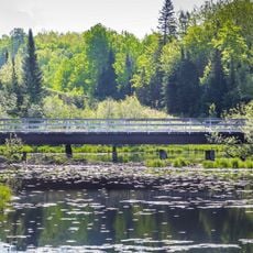
Florence County is an administrative division in northeastern Wisconsin that borders Michigan's Upper Peninsula. The landscape consists of extensive forests, numerous lakes, and river systems throughout the region.
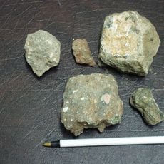
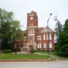
The county was established in 1882 as a separate administrative unit formed from adjacent jurisdictions. Its creation followed the discovery of iron ore deposits that attracted economic interest to the region.
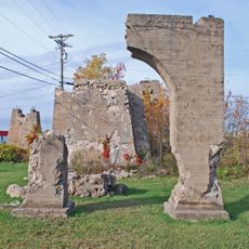
The territory belonged to Menominee Native Americans who interacted with Chippewa tribes before European settlers arrived in the nineteenth century.
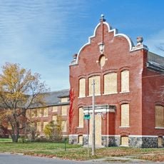
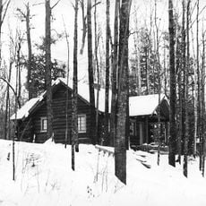
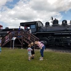
The area lacks major urban centers, so visitors should expect limited services and accommodations throughout the county. It is wise to plan ahead and gather information about available facilities before traveling to the region.
Florence County contains no incorporated communities and maintains public ownership of over fifty percent of its territory for recreational activities.
The community of curious travelers
AroundUs brings together thousands of curated places, local tips, and hidden gems, enriched daily by 60,000 contributors worldwide.