Hardin County

Log in to your account

AroundUs is a community-driven map of interesting places, built by curious explorers like you. It grows with every review, story, and photo you share.
Connect to save your favorite spots, contribute locations, and create personalized routes.
Continue with Google
Continue with Apple
Continue with X
Continue with Facebook
Continue with email
By continuing, you accept our Terms and Conditions and our Privacy Policy
Create an account
Add to collection
Map
Suggest a change
Share

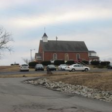
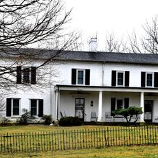
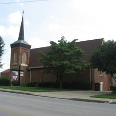
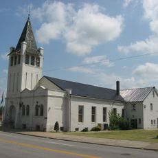
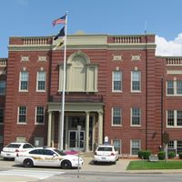
Hardin County, Administrative county in Kentucky, US

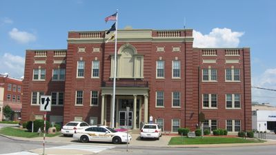
Hardin County is an administrative division in central Kentucky, with Elizabethtown serving as the county seat where most government functions take place. The region encompasses several communities ranging from urban areas to rural farmland and natural spaces.

This county was established on December 15, 1792, becoming the 15th county created in Kentucky from territory that previously belonged to Nelson County. Its founding was part of the state's early effort to organize growing settlements and administration.

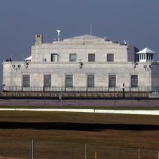
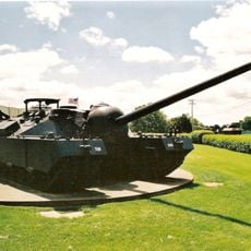
Fort Knox military presence shapes daily life here, bringing service members and families from across the country who add their own traditions and perspectives to the area. This outside influence has become woven into how locals experience their community.

Visitors and residents can access government services through offices in Elizabethtown or online at www.hcky.org for inquiries and information. Both options help with administrative matters depending on preference and availability.

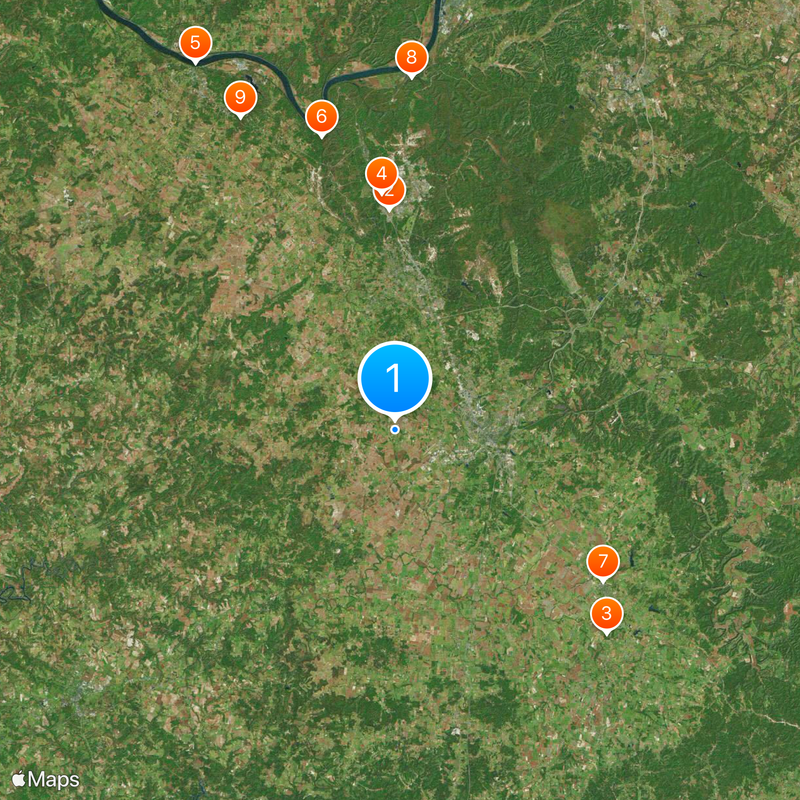
This county shares borders with nine neighboring counties, more than any other county in Kentucky. This central location has made it a natural crossroads between different parts of the state.

Location: Kentucky

Inception: December 15, 1792

Capital city: Elizabethtown

Shares border with: Meade County, Breckinridge County, Hart County, LaRue County, Jefferson County, Bullitt County, Nelson County, Grayson County, Harrison County

Website: http://hcky.org

GPS coordinates: 37.70000,-85.96000

Latest update: December 20, 2025 02:37

Photos
Around this place
United States Bullion Depository
United States of America

United States Bullion Depository

20.4 km
Abraham Lincoln Birthplace National Historical Park
United States of America

Abraham Lincoln Birthplace National Historical Park

27.3 km
General George Patton Museum of Leadership
United States of America

General George Patton Museum of Leadership

21.9 km
Confederate Monument in Louisville
United States of America

Confederate Monument in Louisville

38.6 km
United States of America

Otter Creek Outdoor Recreation Area

28 km
Statue of Abraham Lincoln
United States of America

Statue of Abraham Lincoln

23.9 km
Fort Duffield
United States of America

Fort Duffield

32.7 km
Doe Run Inn
United States of America

Doe Run Inn

32.2 km
Central Hardin High School
United States of America

Central Hardin High School

5.4 km
Nancy Lincoln Inn
United States of America

Nancy Lincoln Inn

27.4 km
United States of America

Knobs State Forest

32.1 km
Kintner-Withers House
United States of America

Kintner-Withers House

31.7 km
Brown Pusey House Community Center
United States of America

Brown Pusey House Community Center

9.1 km
Helm Place
United States of America

Helm Place

7.7 km
First Baptist Church
United States of America

First Baptist Church

9 km
Fort DeWolf
United States of America

Fort DeWolf

38.1 km
Bank of the Commonwealth
United States of America

Bank of the Commonwealth

38.4 km
Benjamin Helm House
United States of America

Benjamin Helm House

8.5 km
Meade County Jail
United States of America

Meade County Jail

38.5 km
St. Augustine Catholic Church
United States of America

St. Augustine Catholic Church

36.8 km
United States of America

Abraham Ditto House

33.4 km
William Bush House
United States of America

William Bush House

11.5 km
Christ Episcopal Church
United States of America

Christ Episcopal Church

9 km
Larue-Layman House
United States of America

Larue-Layman House

9 km
First Presbyterian Church
United States of America

First Presbyterian Church

9.9 km
United States of America

Philip Arnold House

10 km
Embry Chapel Church
United States of America

Embry Chapel Church

8.8 km
United States of America

Ditto-Prewitt House

33.4 km
Show the full map
Reviews

Visited this place? Tap the stars to rate it and share your experience / photos with the community! Try now! You can cancel it anytime.

Administrative divisions
« Hardin County - Administrative county in Kentucky, US » is provided by Around Us (aroundus.com). Images and texts are derived from Wikimedia project under a Creative Commons license. You are allowed to copy, distribute, and modify copies of this page, under the conditions set by the license, as long as this note is clearly visible.

Discover hidden gems everywhere you go!

From secret cafés to breathtaking viewpoints, skip the crowded tourist spots and find places that match your style. Our app makes it easy with voice search, smart filtering, route optimization, and insider tips from travelers worldwide. Download now for the complete mobile experience.

Around Us App Screenshot

A unique approach to discovering new places

Le Figaro

All the places worth exploring

France Info

A tailor-made excursion in just a few clicks

20 Minutes