Enable Location

We need your location to show you interesting places around you

Discover nearby places

Find interesting locations and hidden gems around you

Precise directions

Get accurate directions and distances to places

Your location is never shared with other users. It's only used when you tap the location button.

Chippewa County

Log in to your account

Start exploring — it's free

Trusted by 61,368 travelers worldwide

Continue with Google
Continue with Apple
or

We will send you a code to connect

By continuing, you accept our Terms and Conditions and our Privacy Policy

Check your inbox

We've sent a pincode in your inbox. Please enter the code below.

Chippewa County, County in eastern Upper Peninsula, Michigan, United States

Description

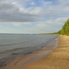
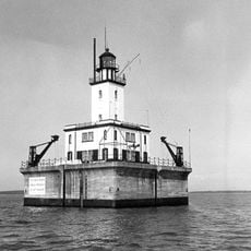
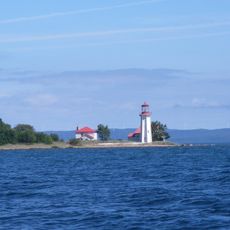
Chippewa County is an administrative division in eastern Upper Peninsula Michigan, spanning a large territory shaped by two major lakes. The region includes shorelines along both Lake Superior and Lake Huron, with substantial portions of land covered by water, forests, and natural habitats.

History

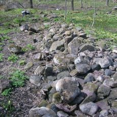
The county was founded in 1826 and named after the Ojibwe people who lived in the region long before European arrival. Early development centered on trade, fishing, and later logging, shaping the area's identity through successive generations.

Culture

The Munuscong Bay section attracts numerous hunters and bird watchers throughout the year, particularly during duck migration seasons.

Practical

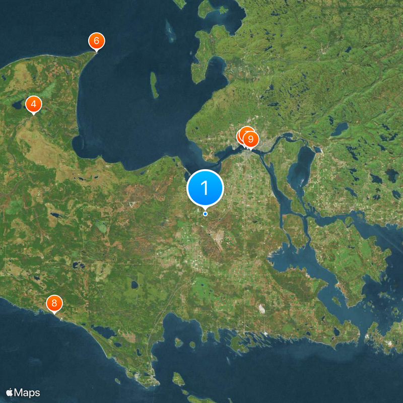
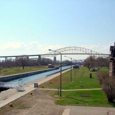
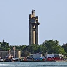
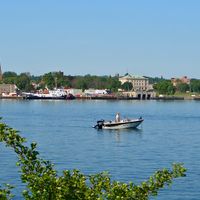
Sault Ste Marie serves as the county center and sits on major transportation routes like Interstate 75, making travel to the region straightforward. A local airport provides connections to larger cities, offering practical access for visitors.

Did you know?

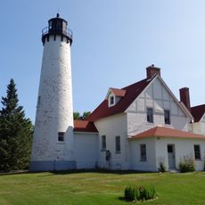
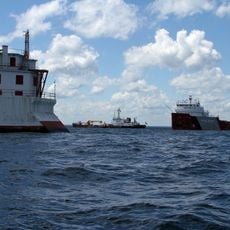
The region borders two of the five Great Lakes at once, a distinction held by only a few counties in the United States. Drummond Island, part of this county, contributes significantly to this rare geographic feature.

Location
Inception
December 22, 1826
Capital city
Sault Ste. Marie
Shares border with
Mackinac County, Luce County, Manitoulin District, Presque Isle County
GPS coordinates
46.32000,-84.52000
Latest update
December 20, 2025 15:57

AroundUs brings together thousands of curated places, local tips, and hidden gems, enriched daily by 60,000 contributors worldwide. Discover all places nearby (Michigan).

Administrative divisions
« Chippewa County - County in eastern Upper Peninsula, Michigan, United States » is provided by Around Us (aroundus.com). Images and texts are derived from Wikimedia project under a Creative Commons license. You are allowed to copy, distribute, and modify copies of this page, under the conditions set by the license, as long as this note is clearly visible.

Discover hidden gems everywhere you go!

From secret cafés to breathtaking viewpoints, skip the crowded tourist spots and find places that match your style. Our app makes it easy with voice search, smart filtering, route optimization, and insider tips from travelers worldwide. Download now for the complete mobile experience.

Around Us App Screenshot

A unique approach to discovering new places

Le Figaro

All the places worth exploring

France Info

A tailor-made excursion in just a few clicks

20 Minutes

Around Us
Travel Guide & Maps
Download

Send to your phone

QR Code
1

Open the camera app on your mobile.

2

Point at the QR code with your camera. A notification will appear.

3

Tap the notification to open the link.