Ozaukee County

Log in to your account

AroundUs is a community-driven map of interesting places, built by curious explorers like you. It grows with every review, story, and photo you share.
Connect to save your favorite spots, contribute locations, and create personalized routes.
By continuing, you accept our Terms and Conditions and our Privacy Policy
Add to collection
Map
Suggest a change
Share

Ozaukee County, Administrative division in Wisconsin, United States.

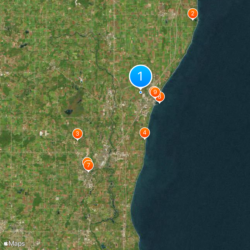
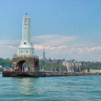
Ozaukee County is an administrative division in Wisconsin located along Lake Michigan's western shore, spanning about 233 square miles of land and 883 square miles of water. Port Washington serves as its county seat and largest community in this water-rich region.

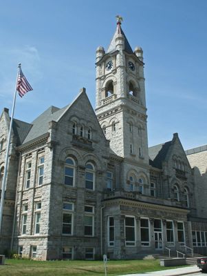
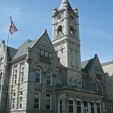
The county was formed in 1853, with Port Washington established as its administrative hub and a key port for water-based commerce and shipping. This creation followed decades of European immigration that had transformed the lakeside landscape.

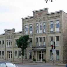
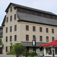
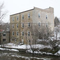
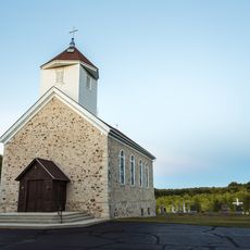
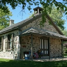
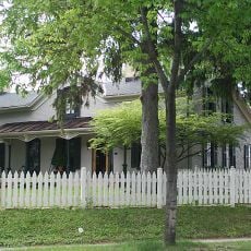
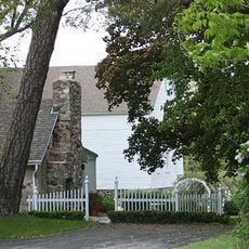
German, Irish, and Luxembourger families arrived starting in the 1840s and shaped the area's character, with German settlers becoming the largest group by 1870. Their heritage appears in local architecture, craft traditions, and community life throughout the county today.

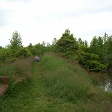
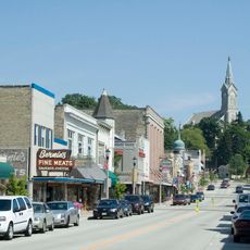
The area stretches along Lake Michigan, offering many points of water access and shoreline to explore throughout the county. Most services and facilities cluster around Port Washington in the southern portion of the region.

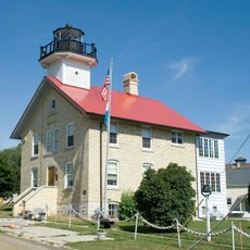
The Wisconsin Shipwreck Coast National Marine Sanctuary was established in 2021 to protect numerous historical shipwrecks along the shoreline. This underwater site preserves stories of sailors and maritime history spanning generations.

Location: Wisconsin

Inception: 1853

Capital city: Port Washington

Shares border with: Sheboygan County, Oceana County, Muskegon County, Milwaukee County, Waukesha County, Washington County

Website: http://co.ozaukee.wi.us

GPS coordinates: 43.39847,-87.89357

Latest update: December 13, 2025 15:45

Photos
Around this place
Harrington Beach State Park
United States of America

Harrington Beach State Park

12.8 km
Cedarburg Covered Bridge
United States of America

Cedarburg Covered Bridge

11.3 km
Lion's Den Gorge Nature Preserve
United States of America

Lion's Den Gorge Nature Preserve

6.7 km
St. Mary's Roman Catholic Church
United States of America

St. Mary's Roman Catholic Church

2.1 km
Washington Avenue Historic District
United States of America

Washington Avenue Historic District

13.3 km
Cedarburg Mill
United States of America

Cedarburg Mill

13.6 km
Port Washington Breakwater Light
United States of America

Port Washington Breakwater Light

3.1 km
Port Washington Light
United States of America

Port Washington Light

2.3 km
Grafton Flour Mill
United States of America

Grafton Flour Mill

10 km
Kevich Light
United States of America

Kevich Light

8.4 km
St. Augustine Catholic Church and Cemetery
United States of America

St. Augustine Catholic Church and Cemetery

12 km
Stony Hill School
United States of America

Stony Hill School

11.4 km
Port Washington Downtown Historic District
United States of America

Port Washington Downtown Historic District

2.2 km
Jonathan Clark House
United States of America

Jonathan Clark House

16.7 km
John Reichert Farmhouse
United States of America

John Reichert Farmhouse

16.6 km
Cedarburg Bog
United States of America

Cedarburg Bog

9.3 km
Old Ozaukee County Courthouse
United States of America

Old Ozaukee County Courthouse

2.1 km
Hilgen and Wittenberg Woolen Mill
United States of America

Hilgen and Wittenberg Woolen Mill

13.3 km
Concordia Mill
United States of America

Concordia Mill

14.1 km
Wayside House
United States of America

Wayside House

14 km
Edward Dodge House
United States of America

Edward Dodge House

2.3 km
Edwin J. Nieman Sr. House
United States of America

Edwin J. Nieman Sr. House

17.8 km
Port Washington Fire Engine House
United States of America

Port Washington Fire Engine House

2.1 km
Isham Day House
United States of America

Isham Day House

20.8 km
William F. Jahn Farmstead
United States of America

William F. Jahn Farmstead

19.9 km
Bigelow School
United States of America

Bigelow School

15.8 km
Highland Avenue Bridge
United States of America

Highland Avenue Bridge

12.8 km
Cedarburg Woolen Co. Worsted Mill
United States of America

Cedarburg Woolen Co. Worsted Mill

10.1 km
Show the full map
Reviews

Visited this place? Tap the stars to rate it and share your experience / photos with the community! Try now! You can cancel it anytime.

Administrative divisions
« Ozaukee County - Administrative division in Wisconsin, United States » is provided by Around Us (aroundus.com). Images and texts are derived from Wikimedia project under a Creative Commons license. You are allowed to copy, distribute, and modify copies of this page, under the conditions set by the license, as long as this note is clearly visible.

Discover hidden gems everywhere you go!

From secret cafés to breathtaking viewpoints, skip the crowded tourist spots and find places that match your style. Our app makes it easy with voice search, smart filtering, route optimization, and insider tips from travelers worldwide. Download now for the complete mobile experience.

Around Us App Screenshot

A unique approach to discovering new places

Le Figaro

All the places worth exploring

France Info

A tailor-made excursion in just a few clicks

20 Minutes